Monthly Archives: December 2024

The wonders of wet walks and Milford Sound

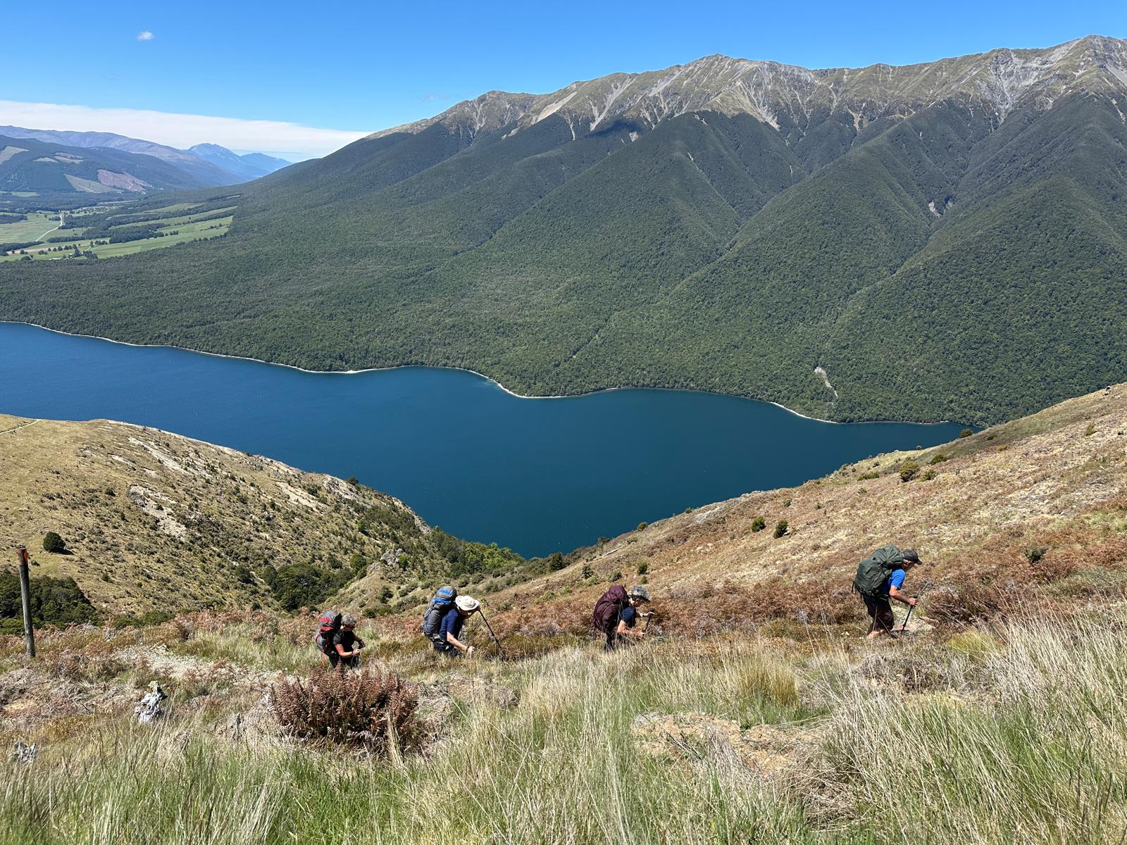
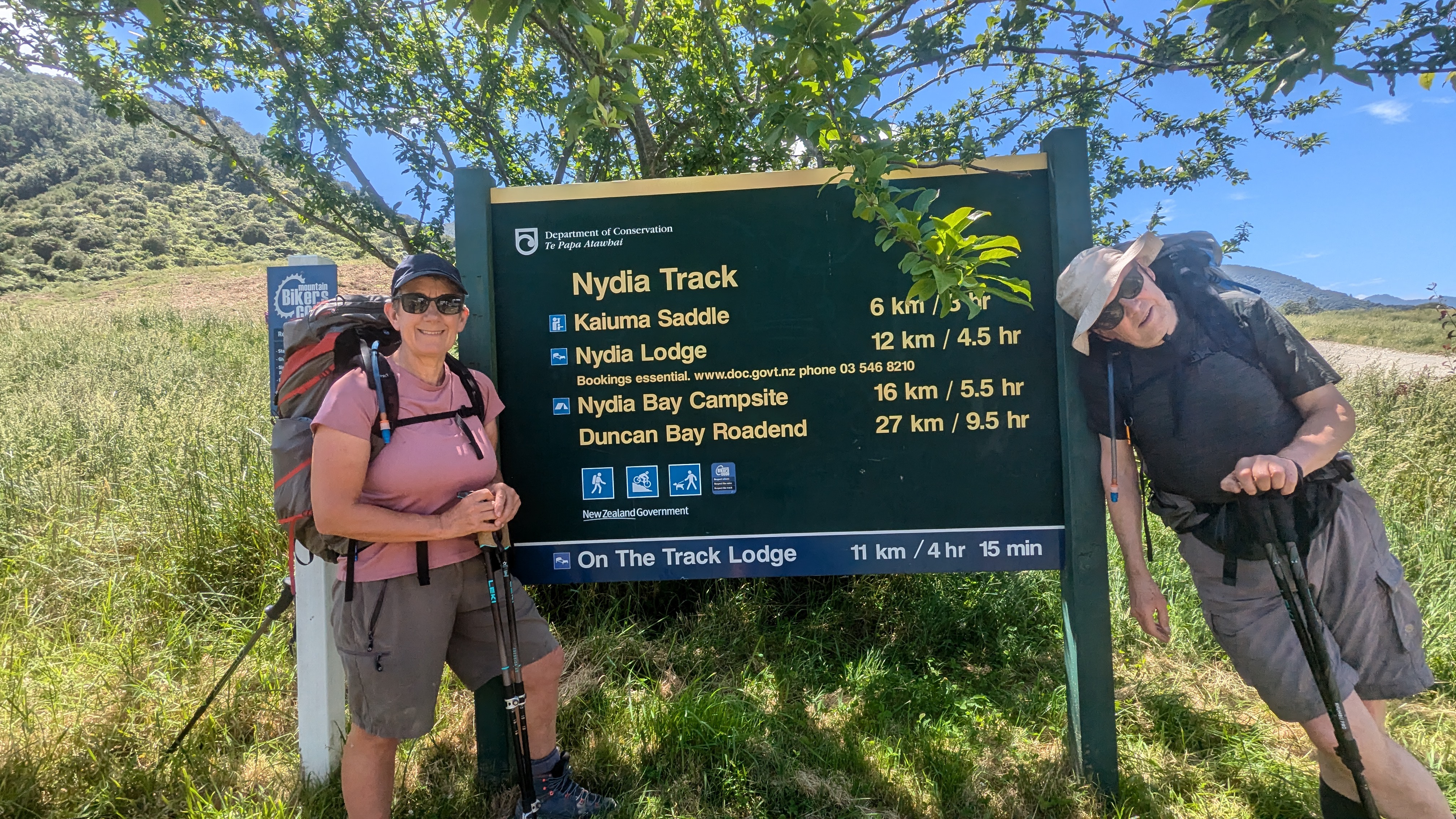
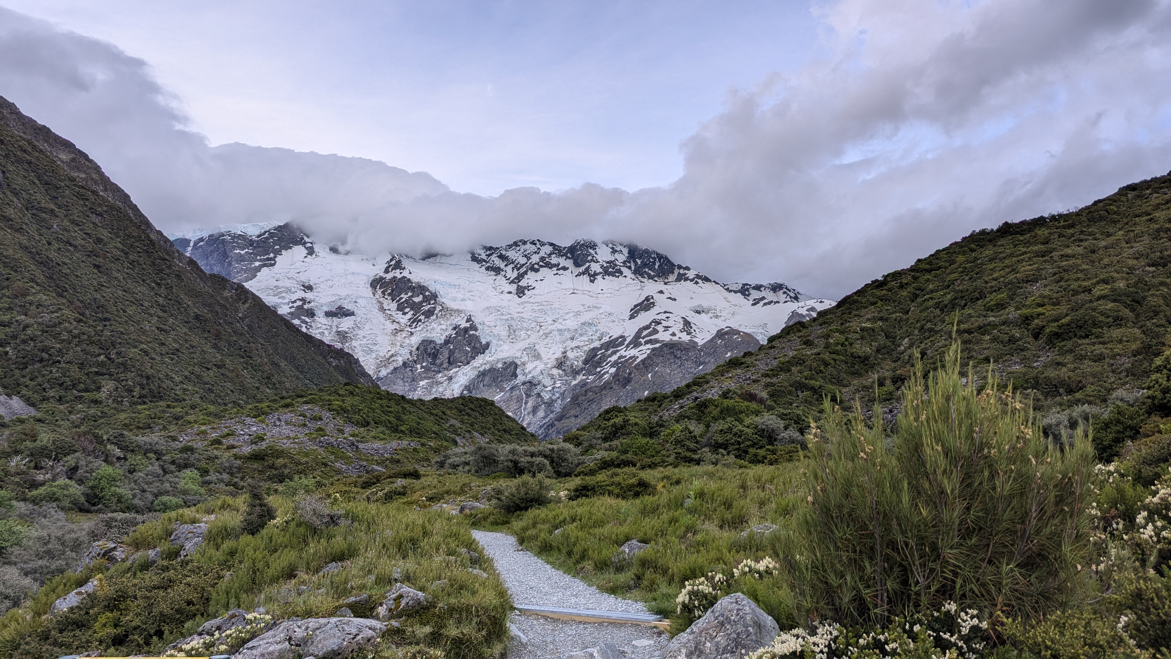
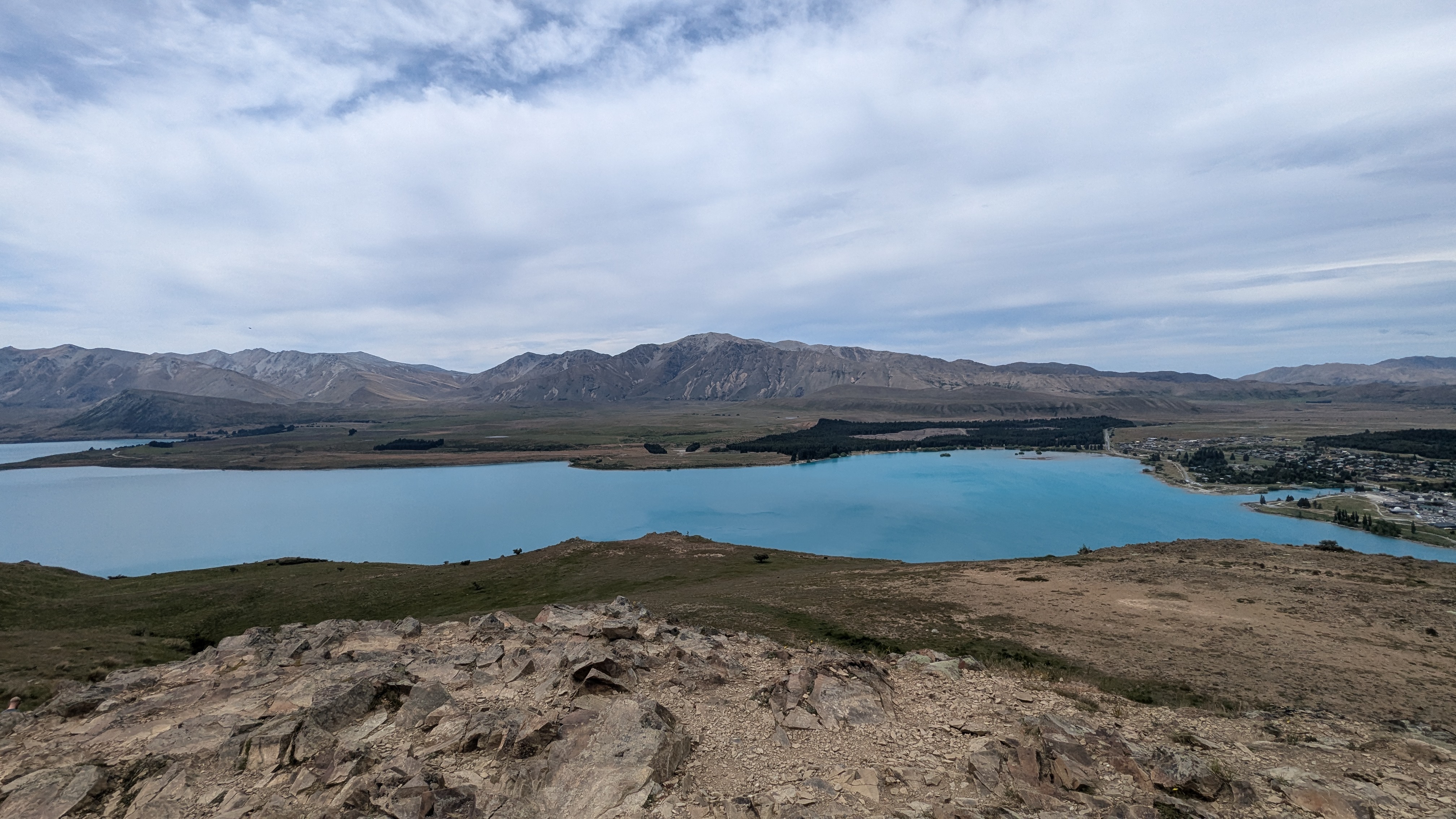
We are heading towards the end of our trip around Aotearoa, as we are now learning to call New Zealand.  Today we started from our accommodation and drove from Te Anau to walk the beginning of the Routeburn Track.  The clouds were building and it was raining fairly hard by the time we started the walk.   

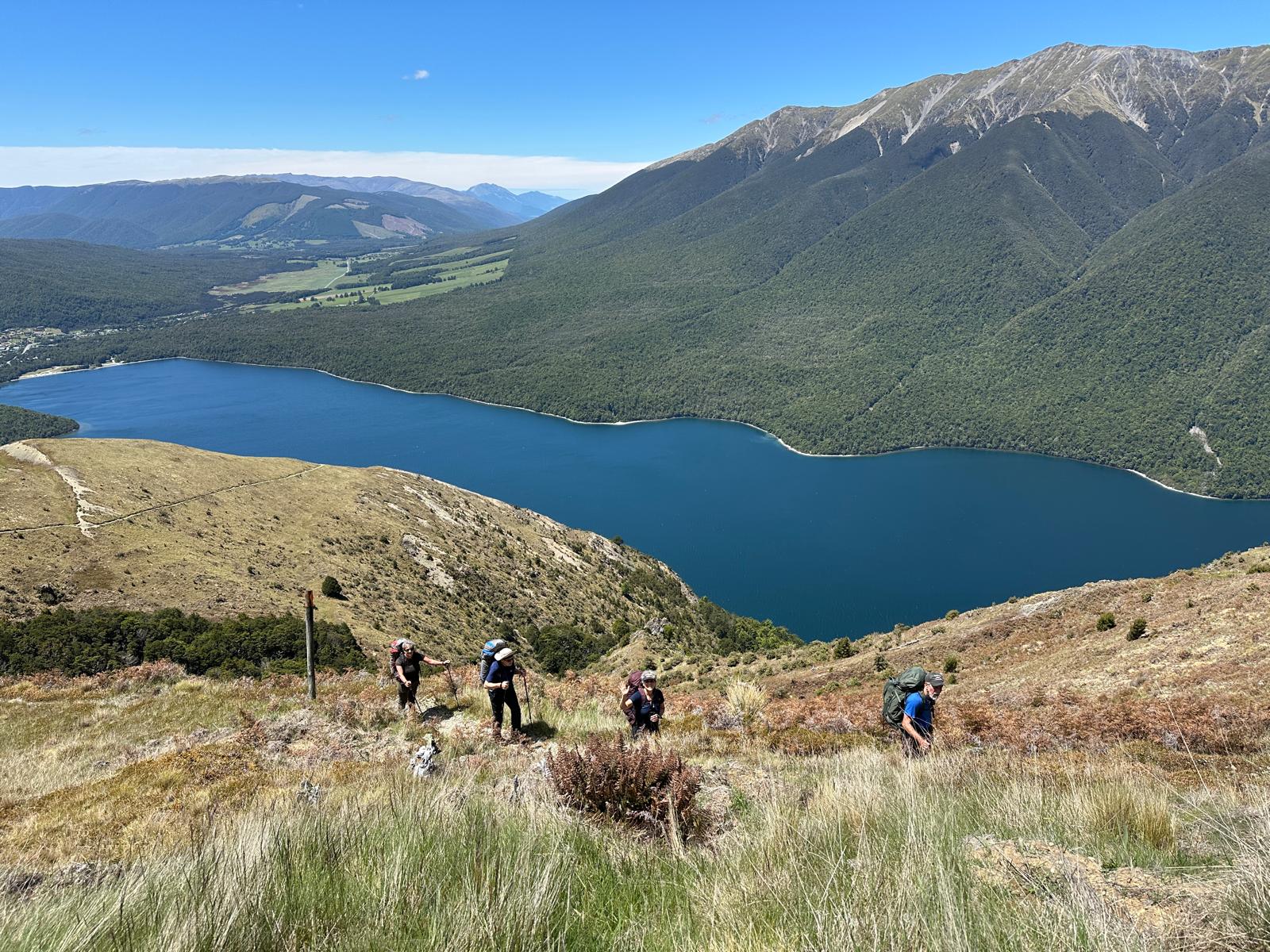
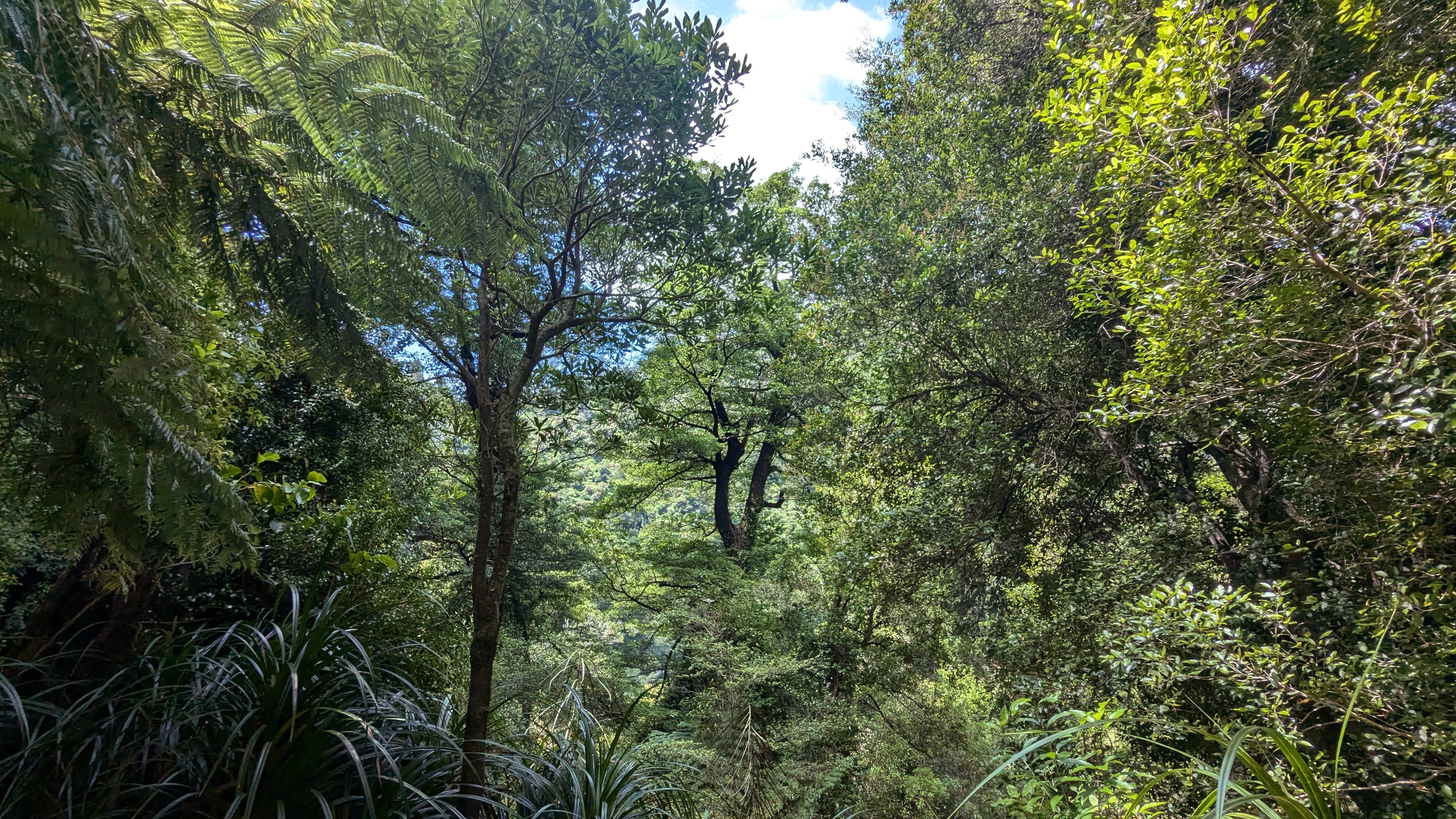
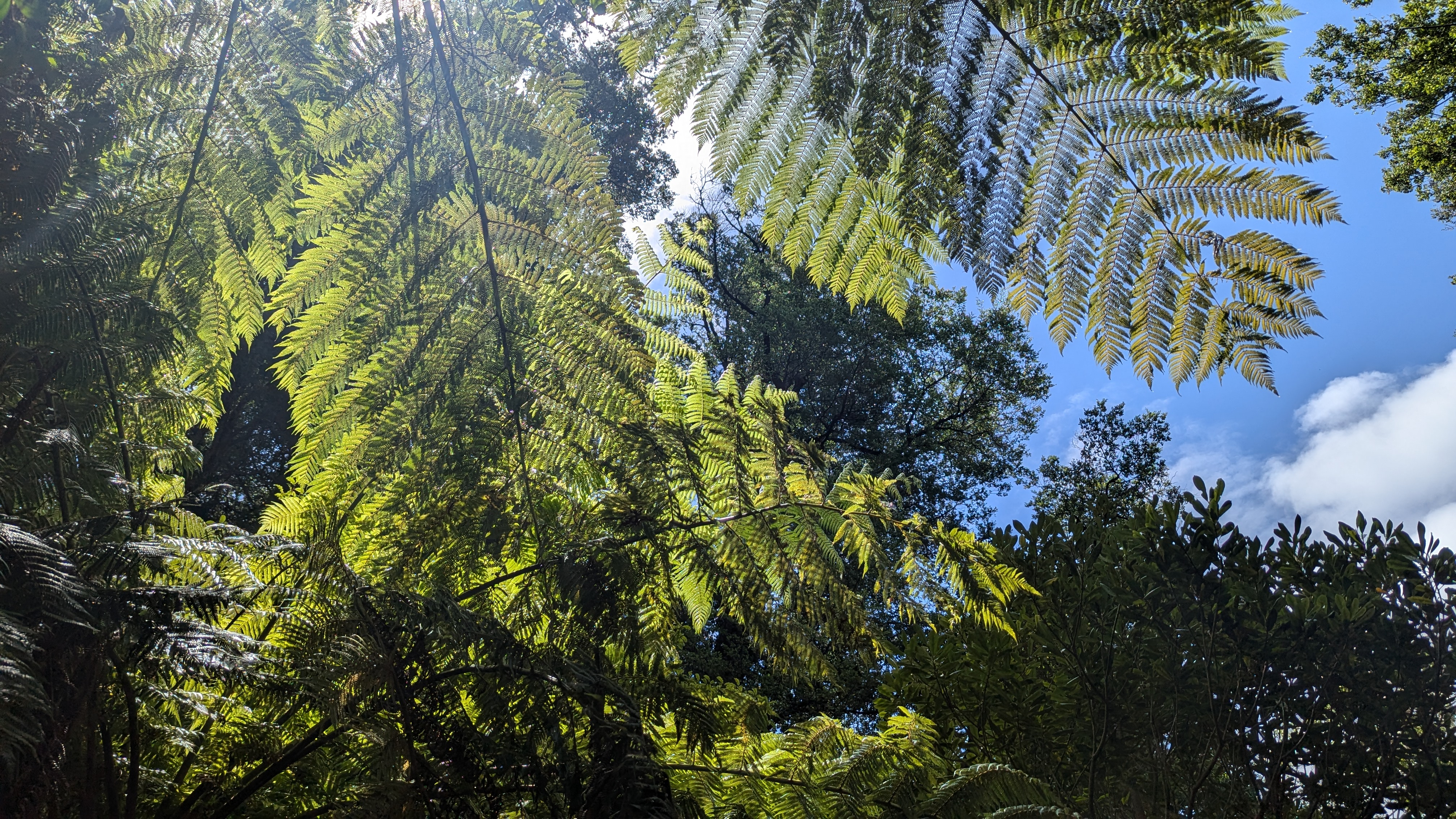
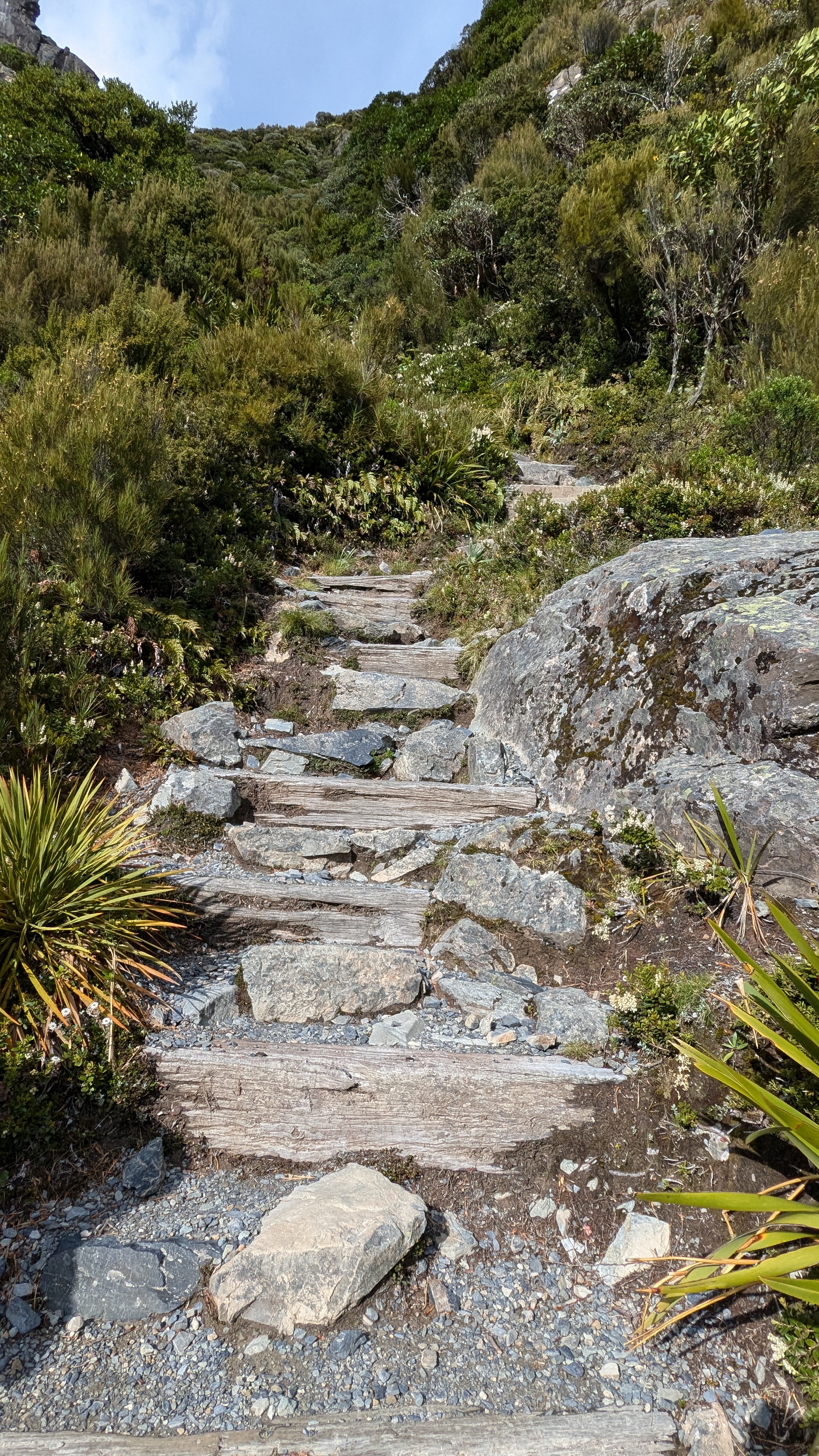
The route goes over the mountains and comes out not too far from Queenstown, but we were only doing the first couple of hours of the track, but it looks a great walk to put on the list for a return.  We slowly climbed through ancient rain forest – in the rain. 

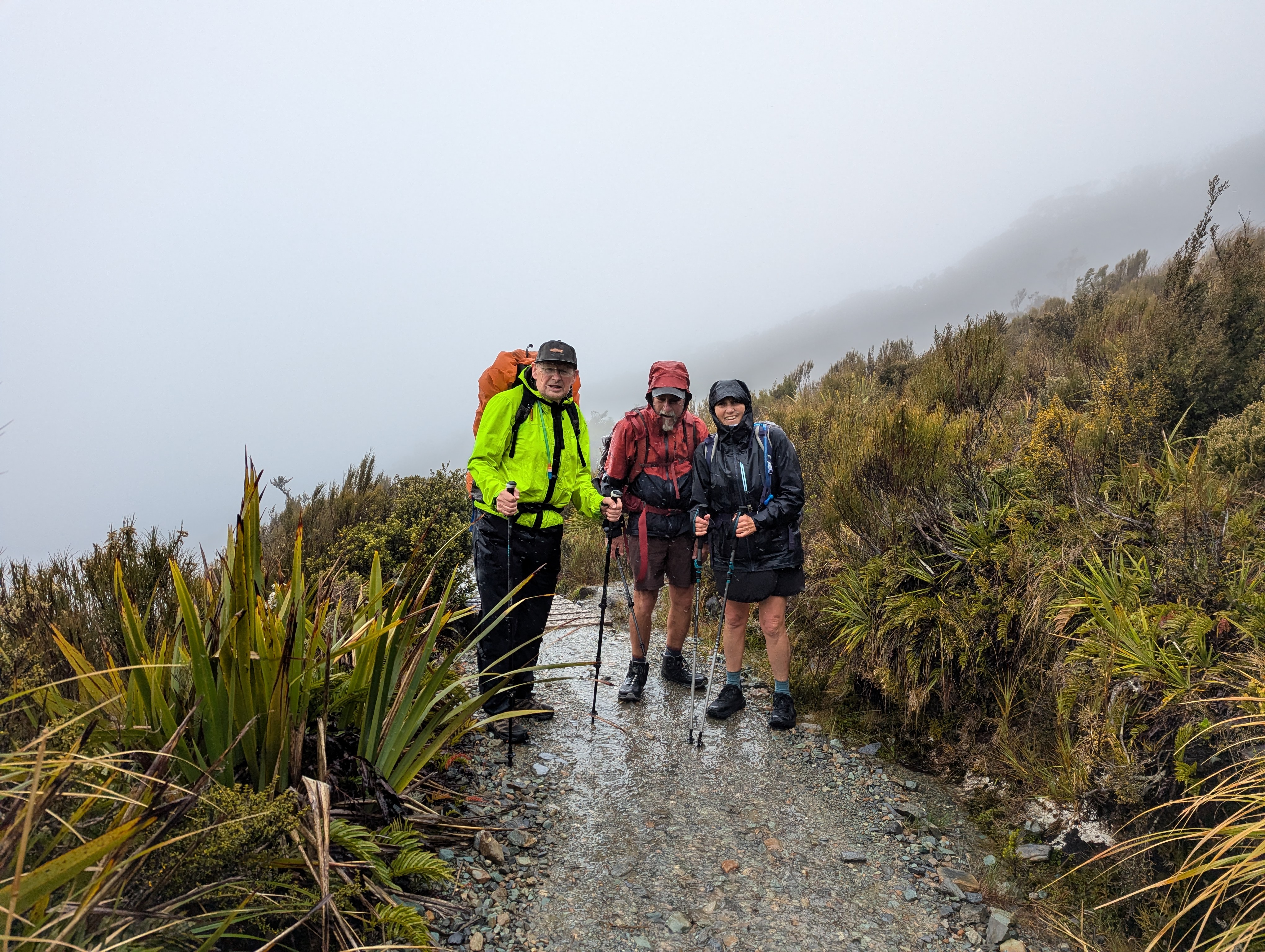
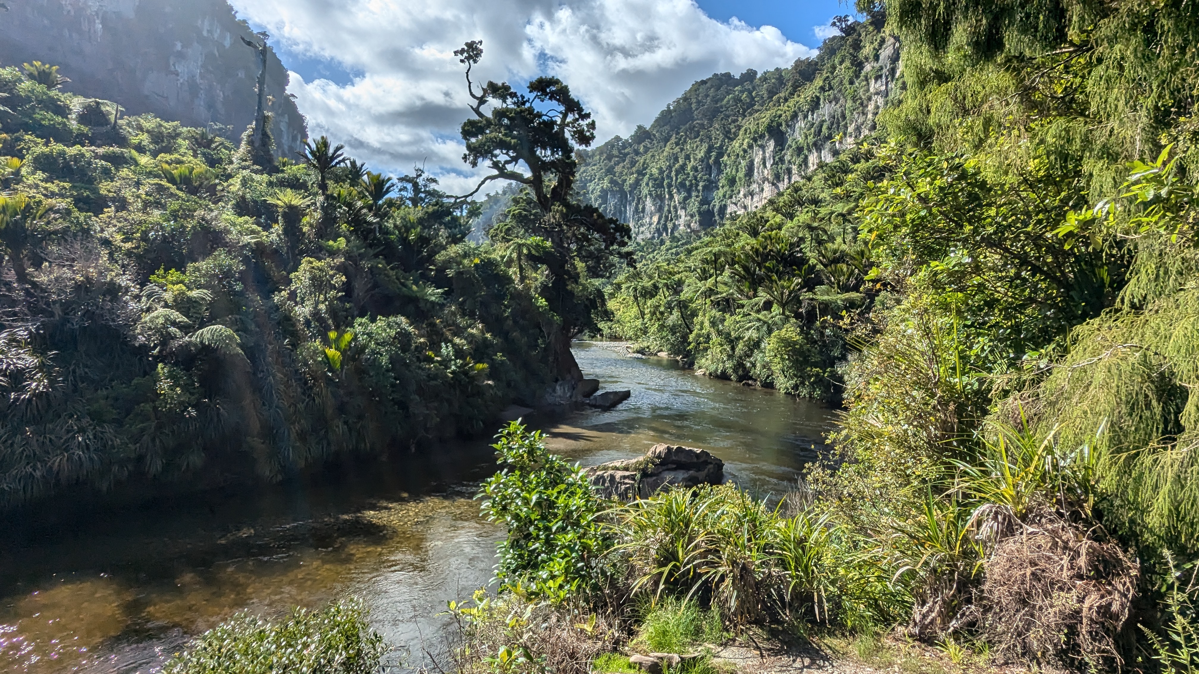
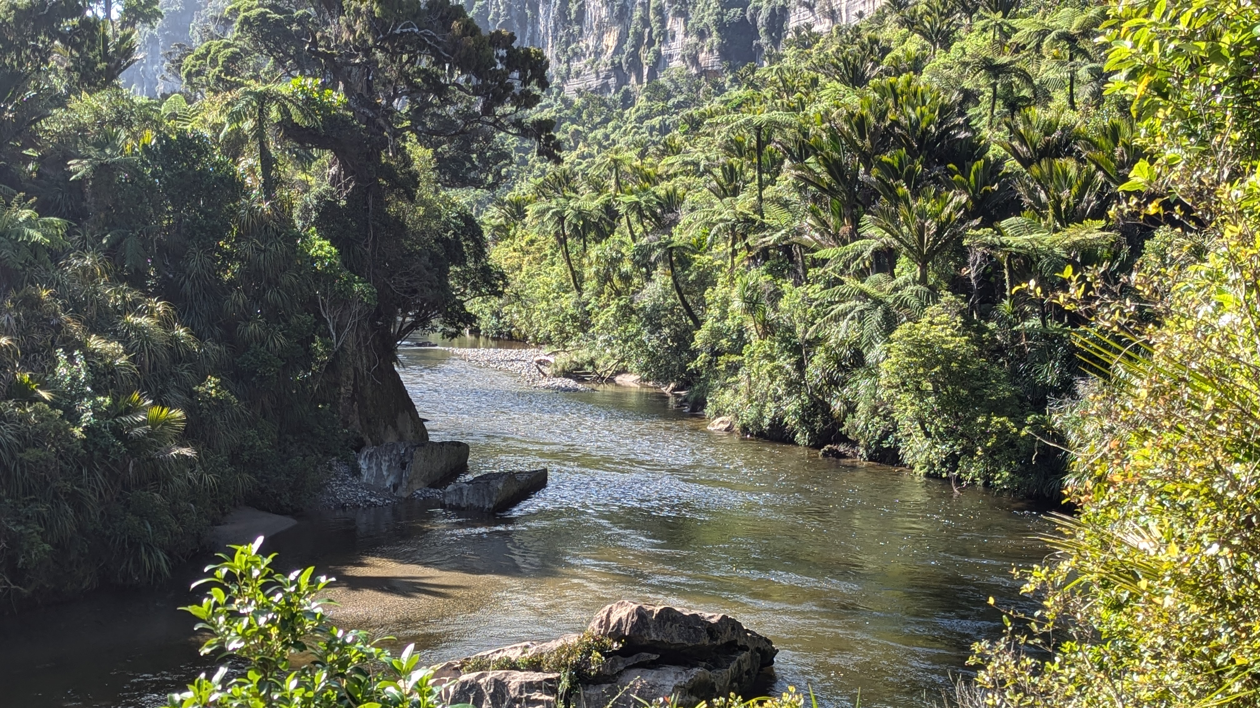
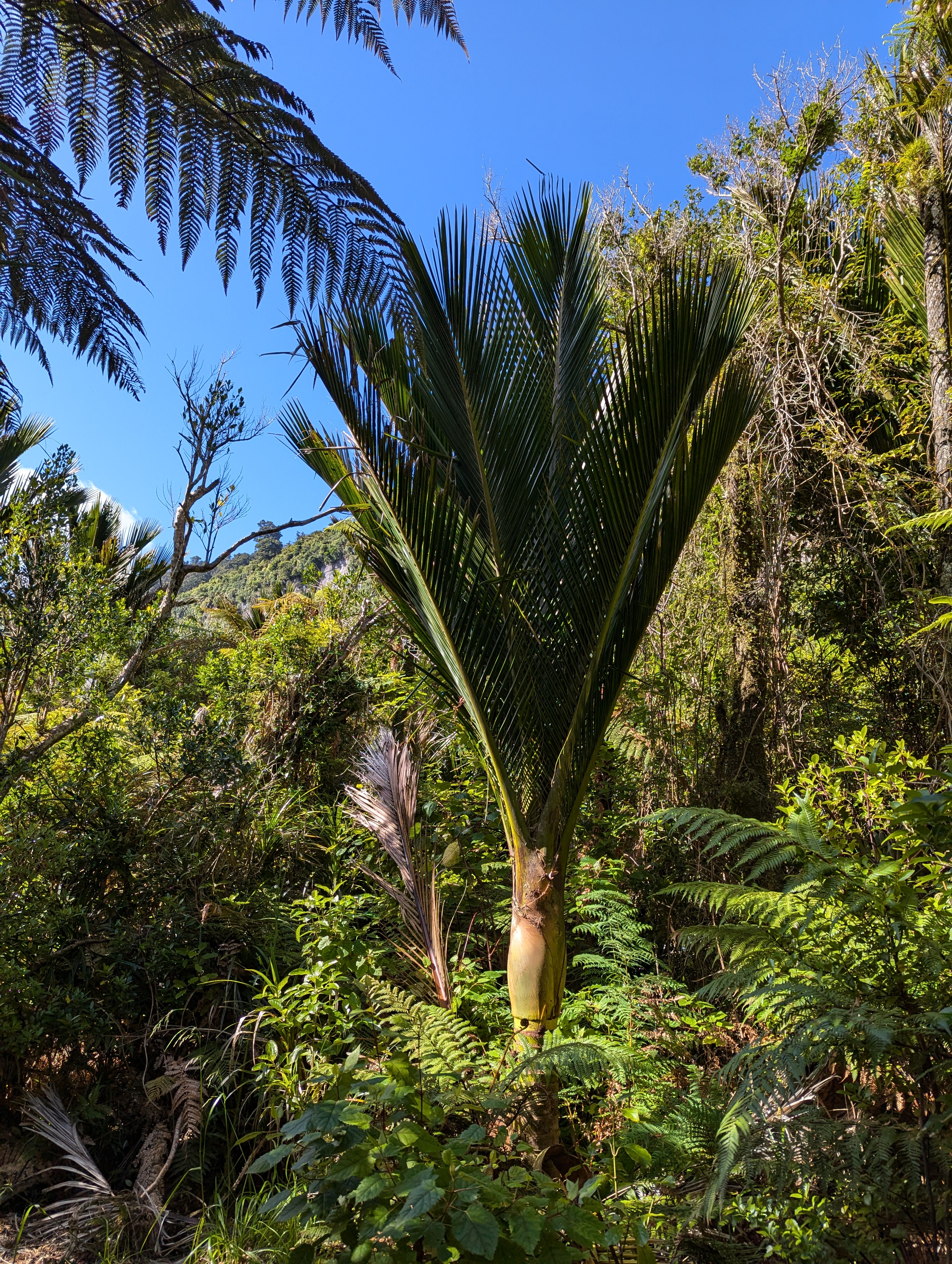
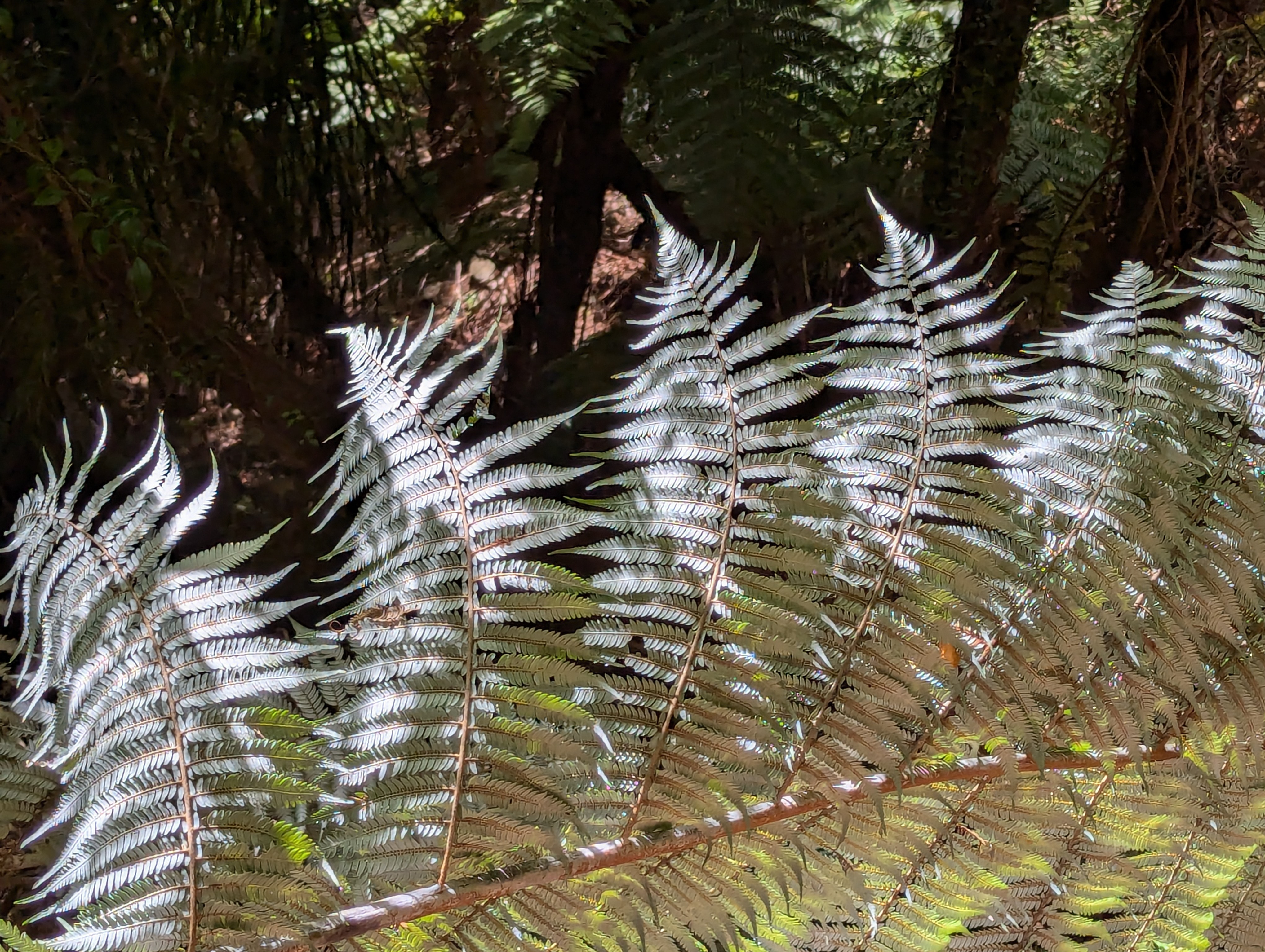
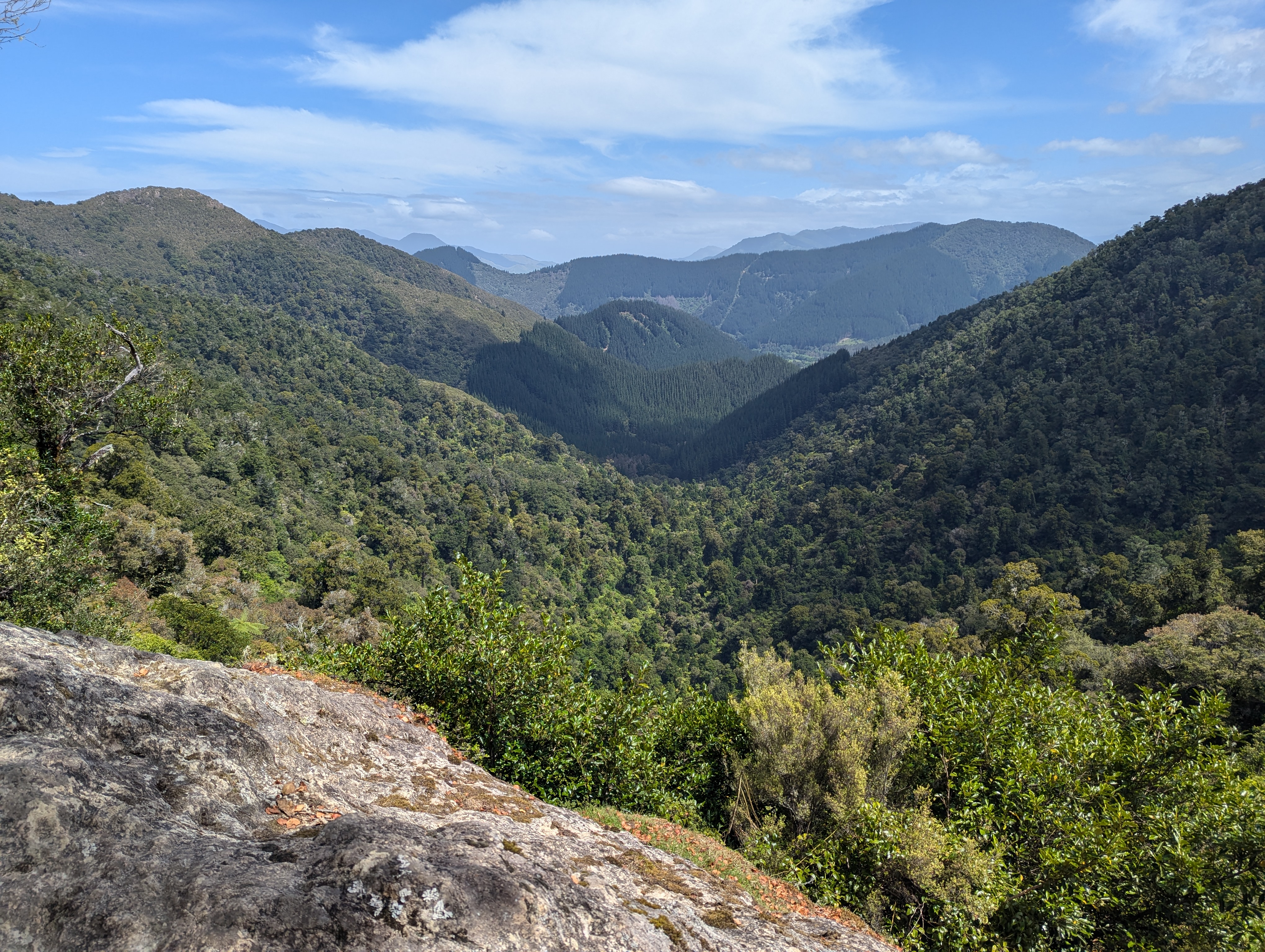
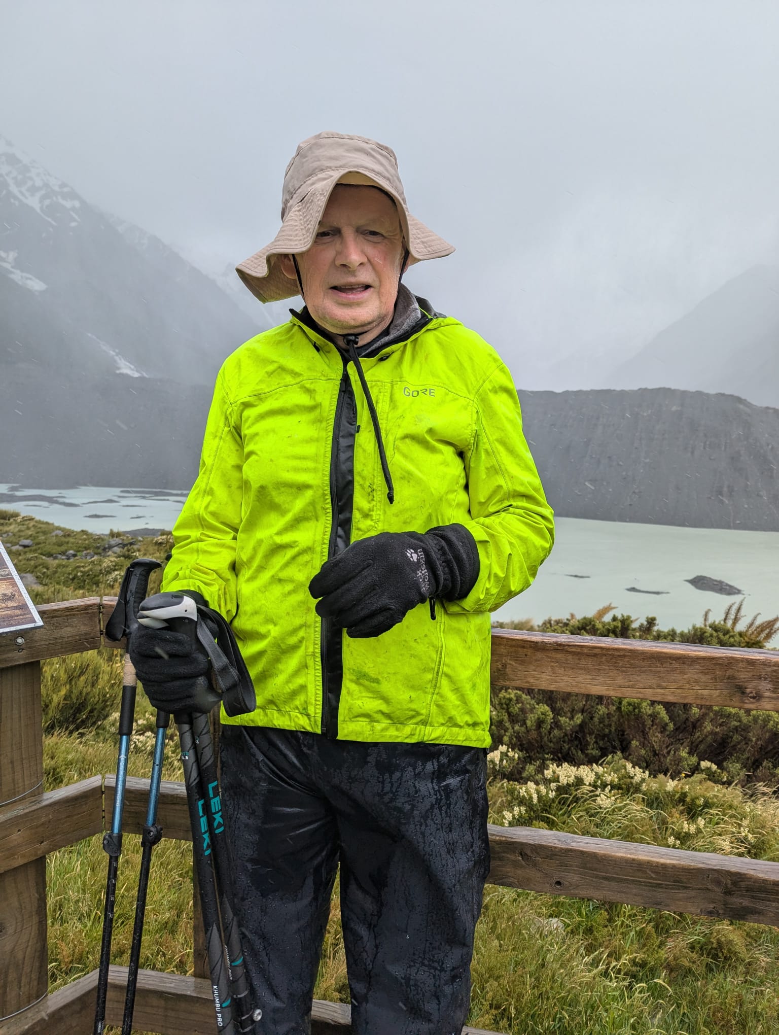
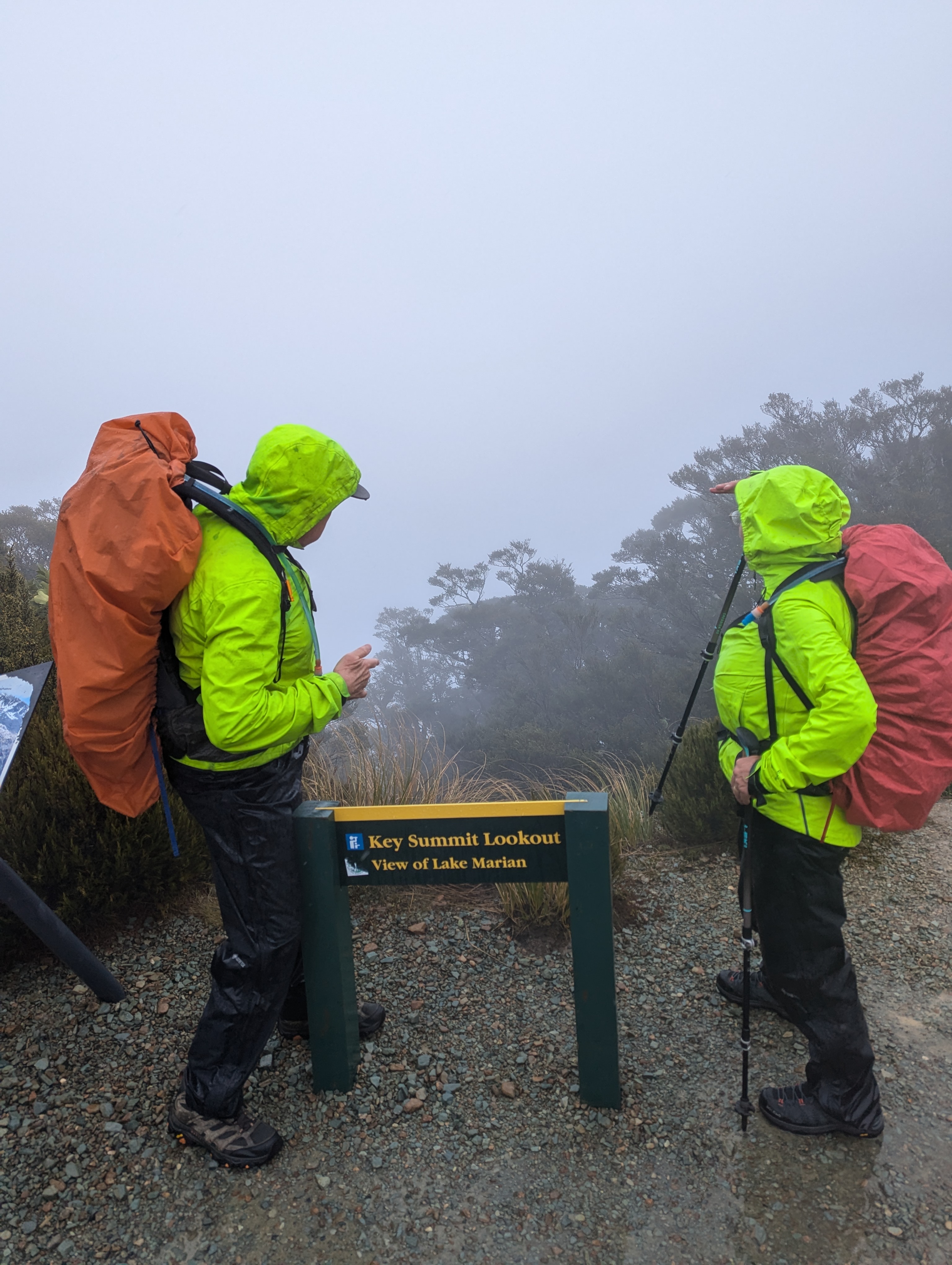
Walking up a track in a forest with no views with continuous water running underfoot does not sound too attractive, but actually it was very pleasant.  By this stage our fitness had improved, the forest protected us from the wind and so walking uphill was not a real effort as we were constantly conversation with people who were now friends, distracted by birds and plants.  When we emerged out of the forest, the wind and rain hit us, and the rain turned to something near hail. 

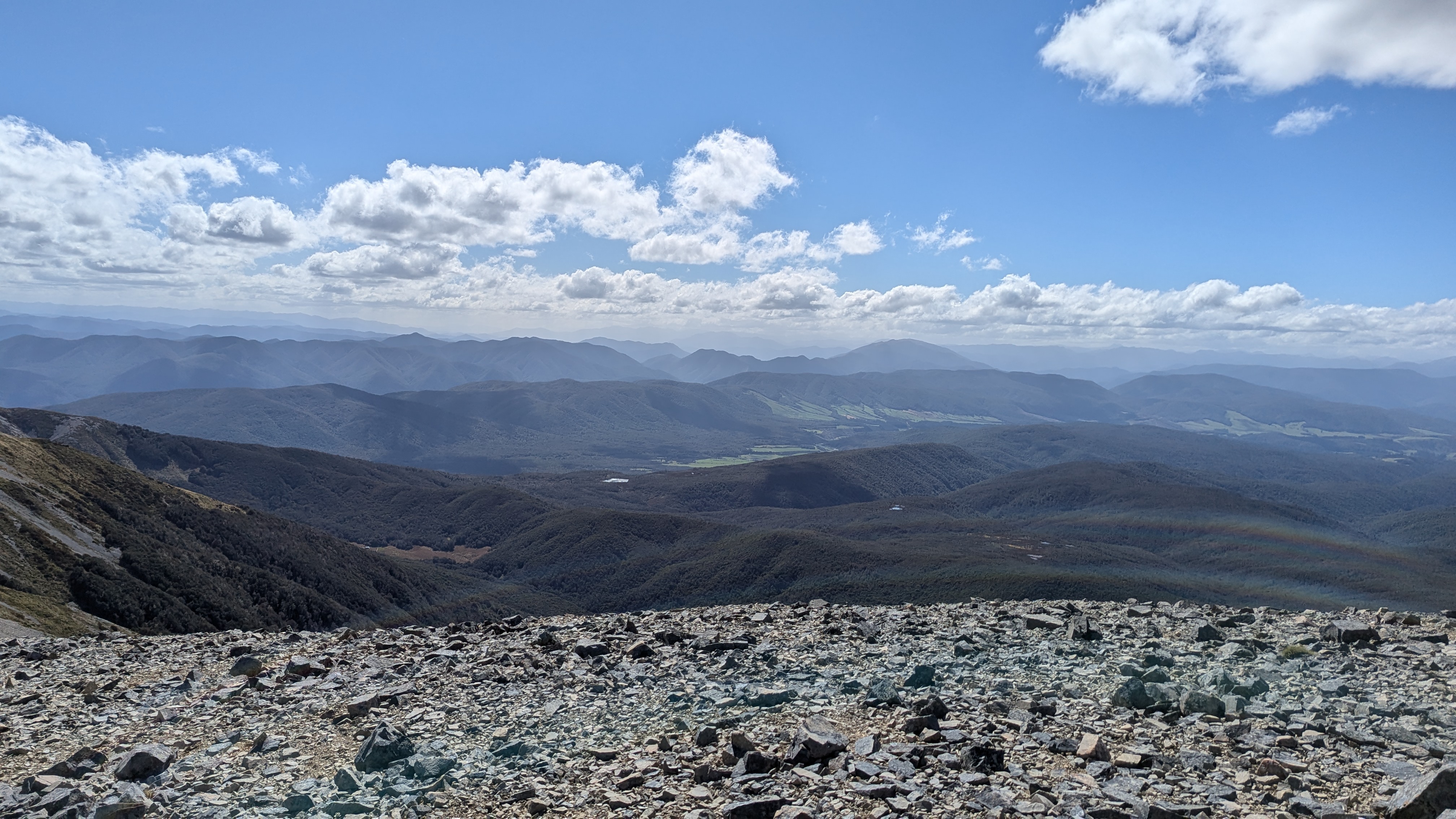
We carried on walking up and got to a “viewpoint” but, of course, there was no view – just clouds and rain.  We still felt a small measure of elation at reaching the top of our final walk of this trip with all our group. 

What we might have seen on a clear day

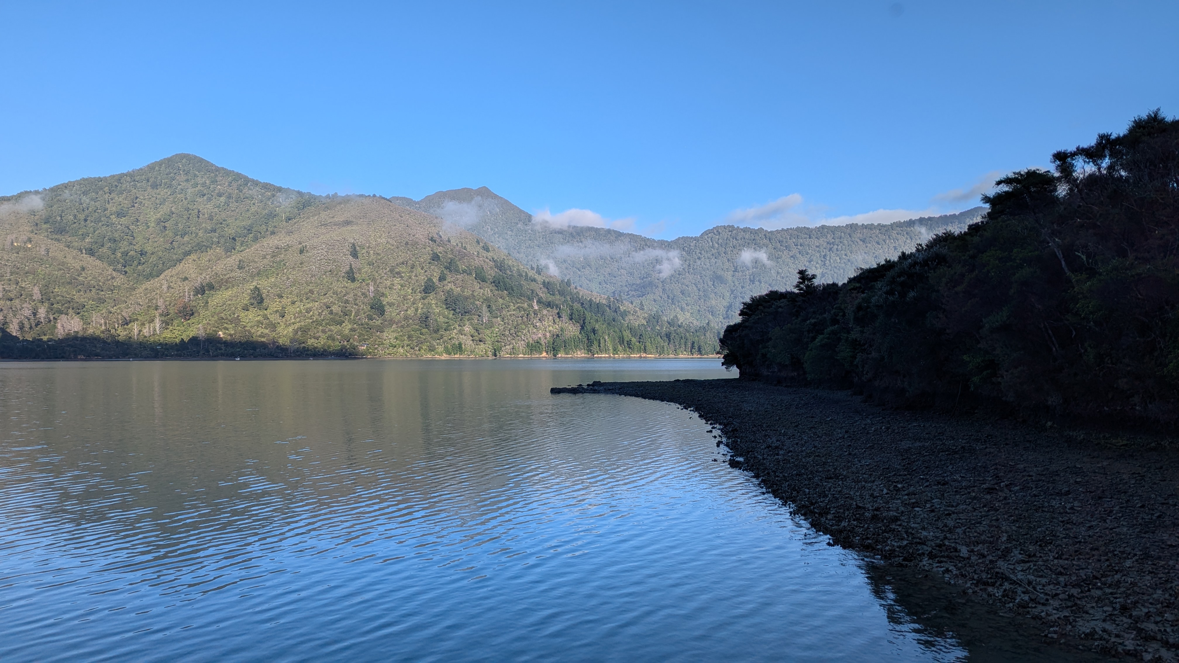
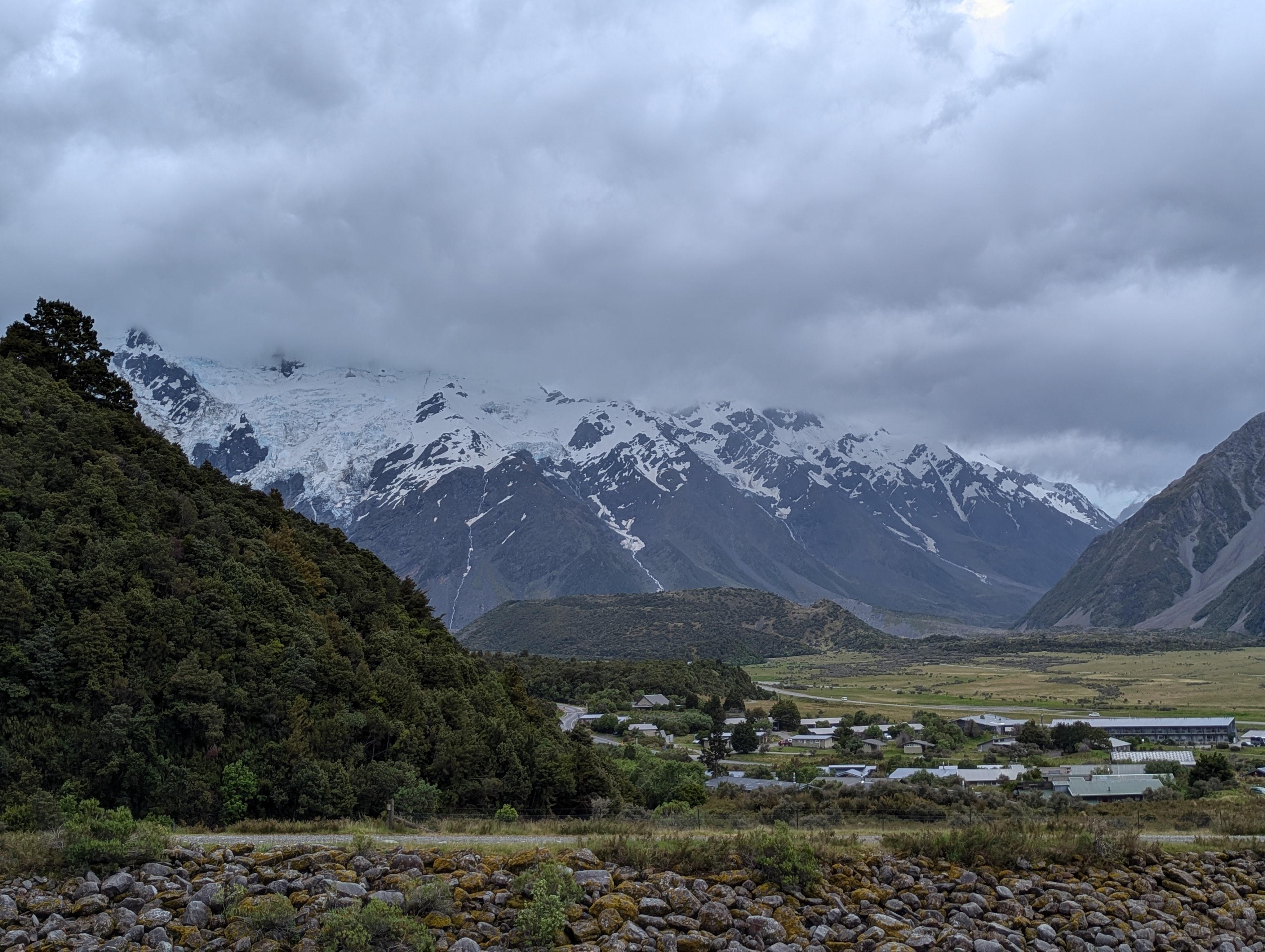
The amble down the hill was, of course, easier but felt longer.  The rain continued and we got out of our wet weather gear at the bottom.  Then we were driven over the mountain, through a tunnel and into the valley leading the town, Milford Sound, which is at the start of the glacial valley called the “Milford Sound”.

What we could see!!

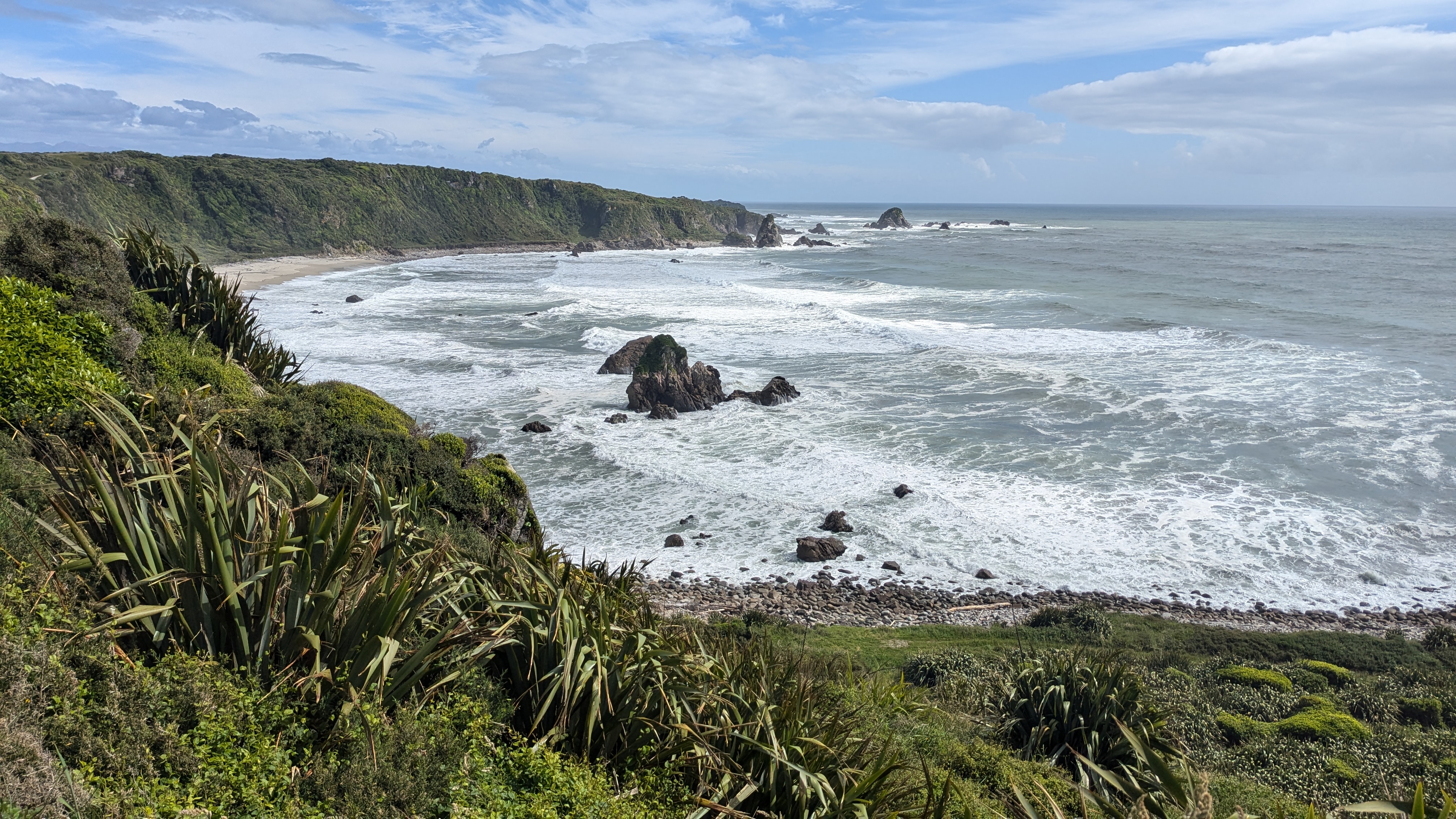
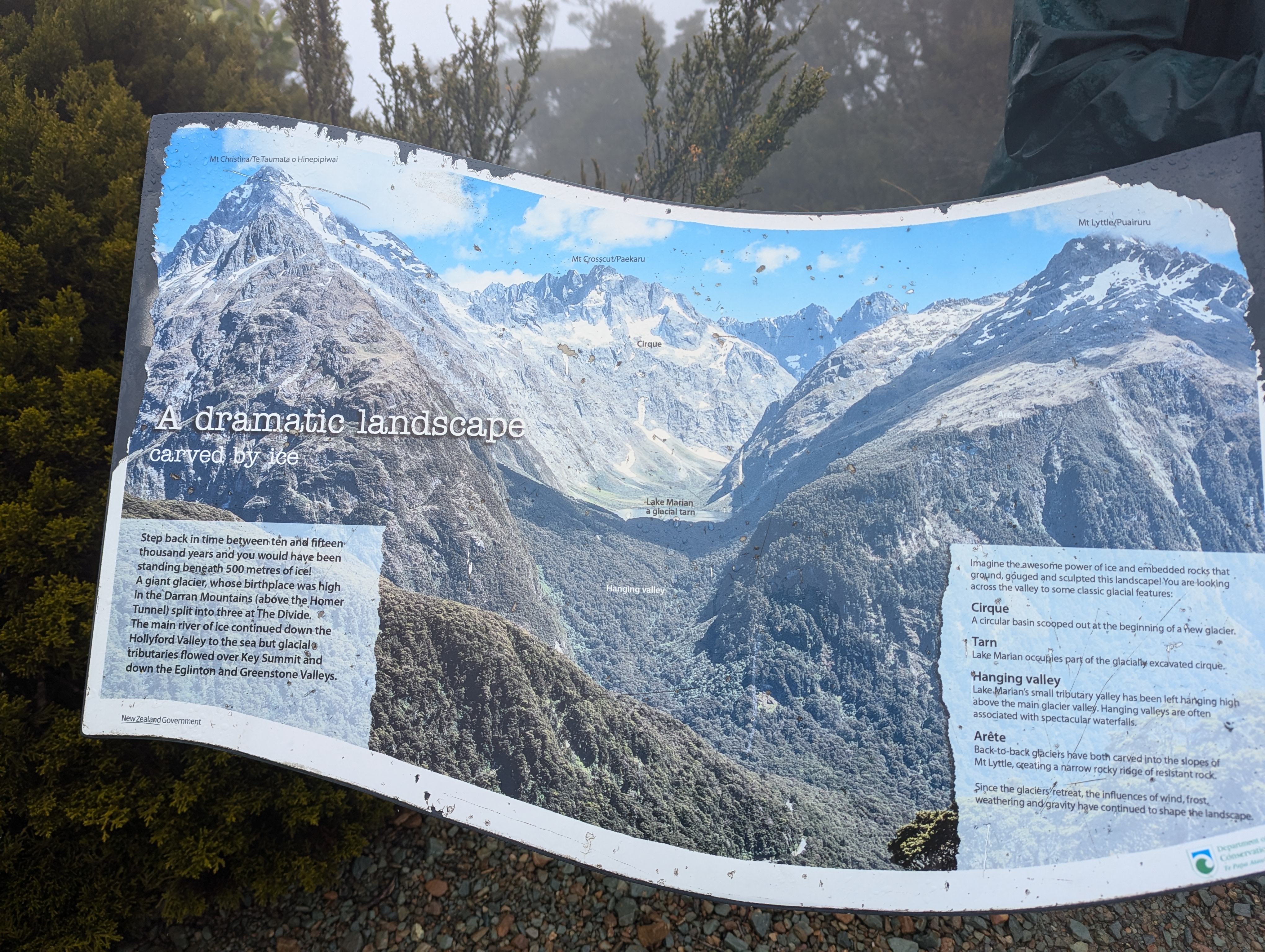
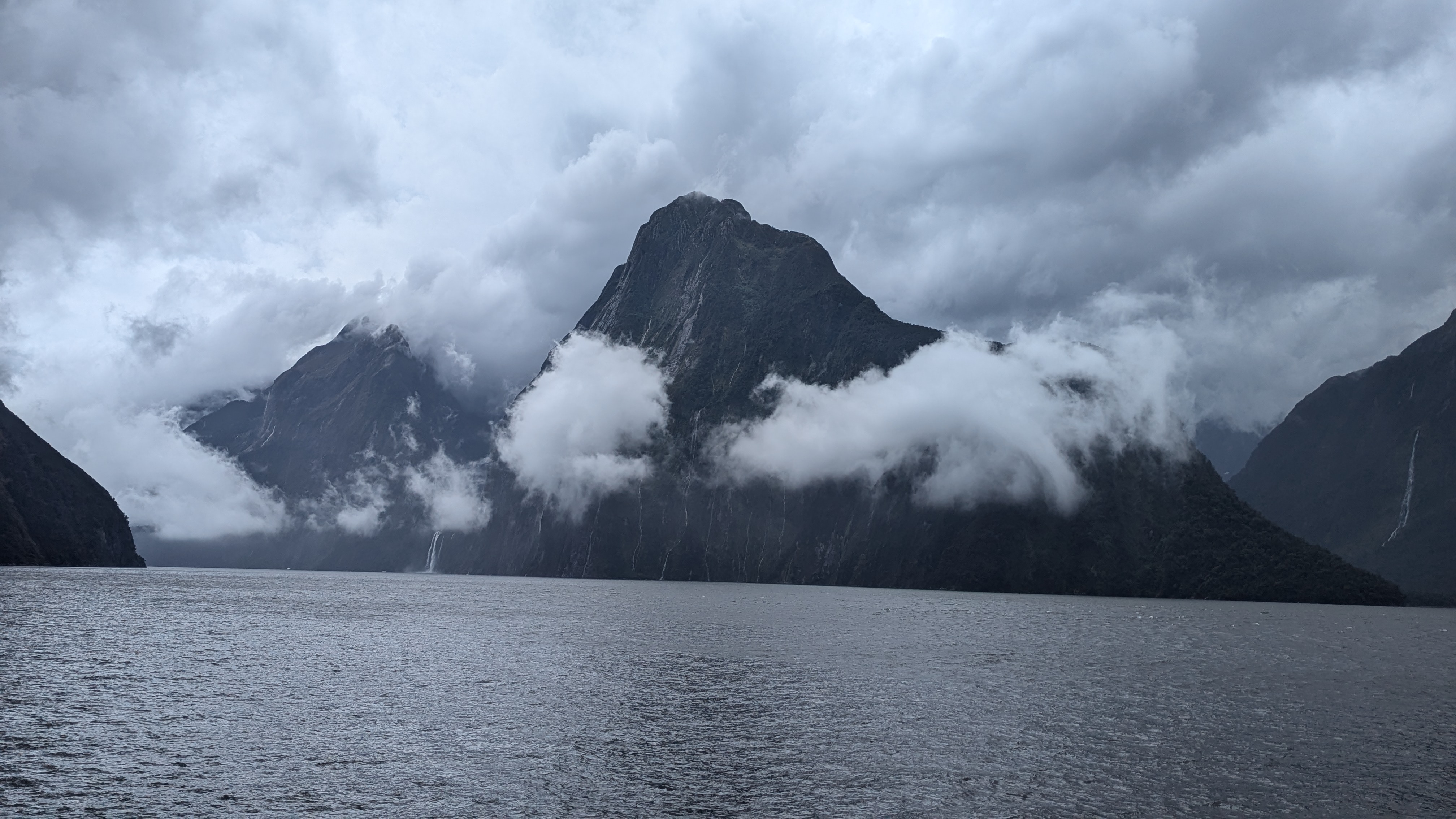
We tried to find out if there was a difference between a “sound” and a “fjord” (or its less common spelling of “fiord”).  A fiord is a narrow inlet of the sea between cliffs or steep slopes, which results from marine inundation of a glaciated valley.  In contrast a “sound” is formed by the flooding of a river valley, not a glacial valley.  Milford Sound is an amazing glacial valley, where the force of the ice has carved out spectacular walls hundreds of metres high, creating a valley leading to the sea.  So, of course, it is a fjord and not a sound.  So why is the most famous fjord in the Southern Hemisphere misdescribed as a “sound”.  Only a pedant would ask that question, he says in a self-revealing comment.

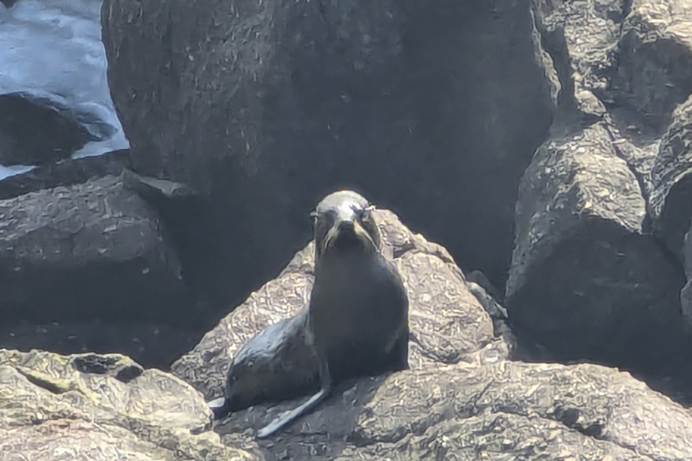
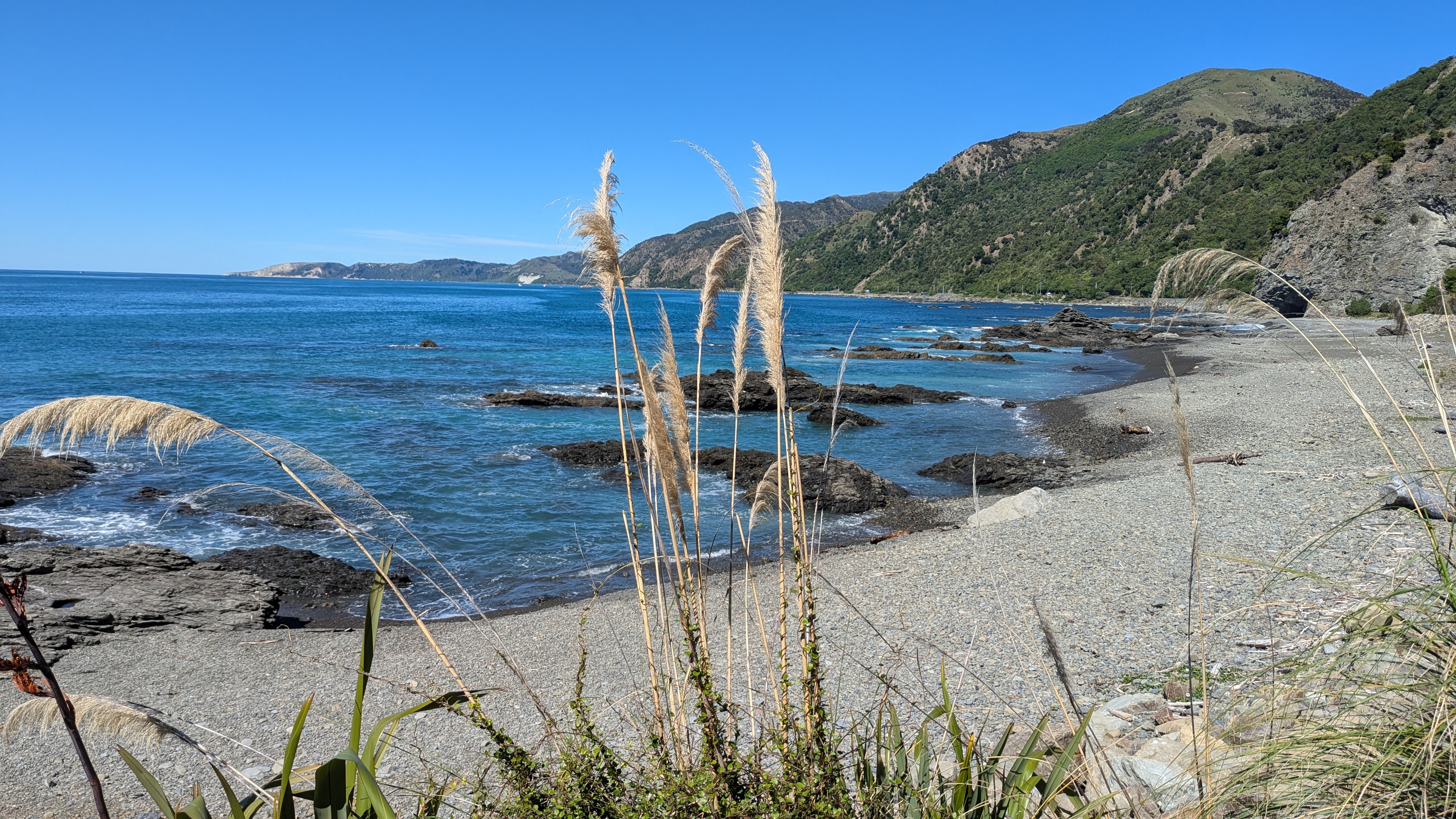
The area was well known to the mauri who fished the area.  Early European settlers did not explore Milford Sound by boat, not realising that inside its narrow entrance there was such a beautiful region to explore. In fact, it is so well hidden that the famous explorer Captain Cook managed to miss the entrance to the fiord twice! In 1823 a sealer called John Grono was the first European settler to visit. He named it Milford Sound after Milford Haven.  Milford Haven is an inlet on the Welsh coast, but there is frankly little comparison between the magnificence of Milford Sound and Milford Haven!

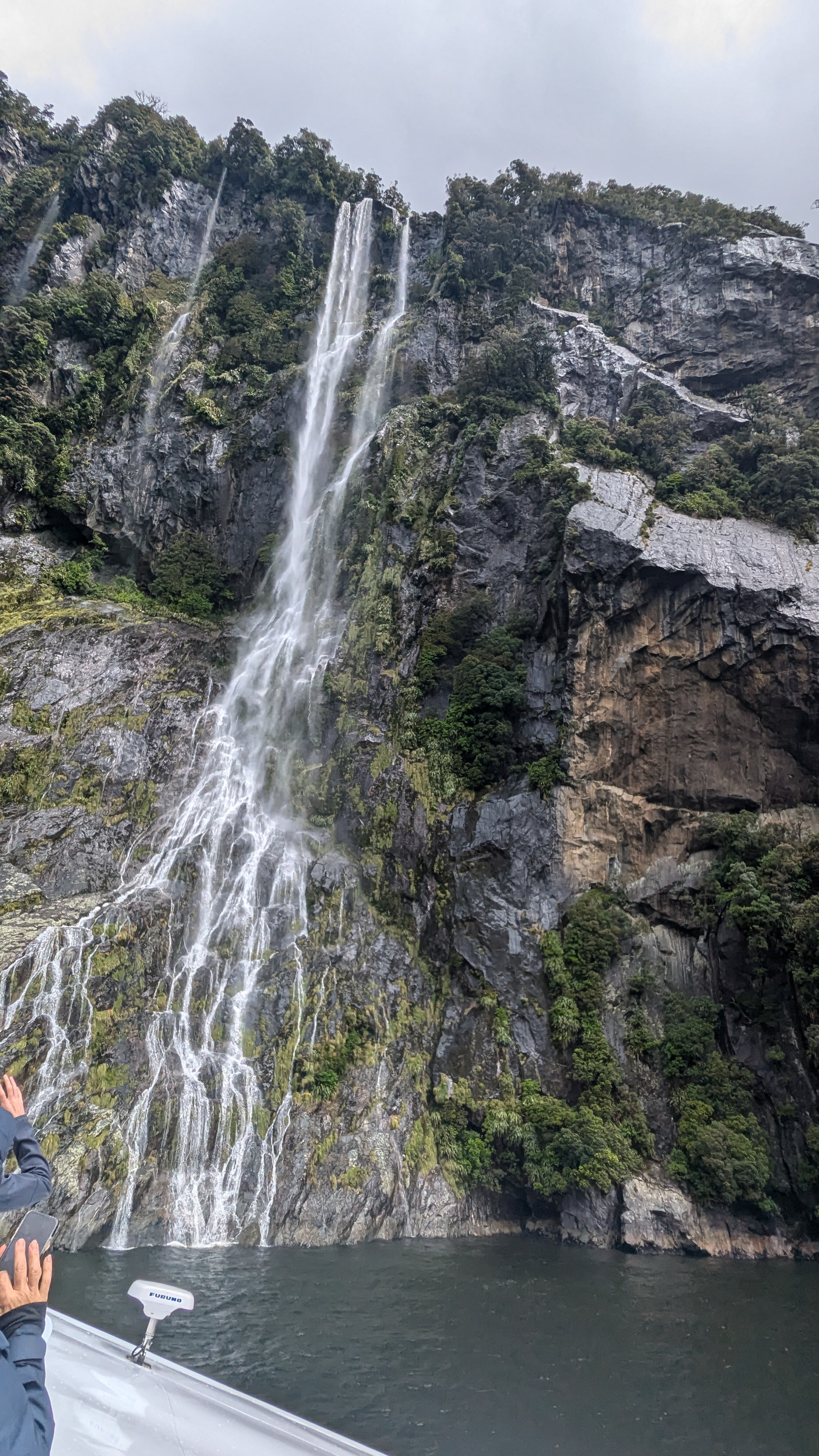
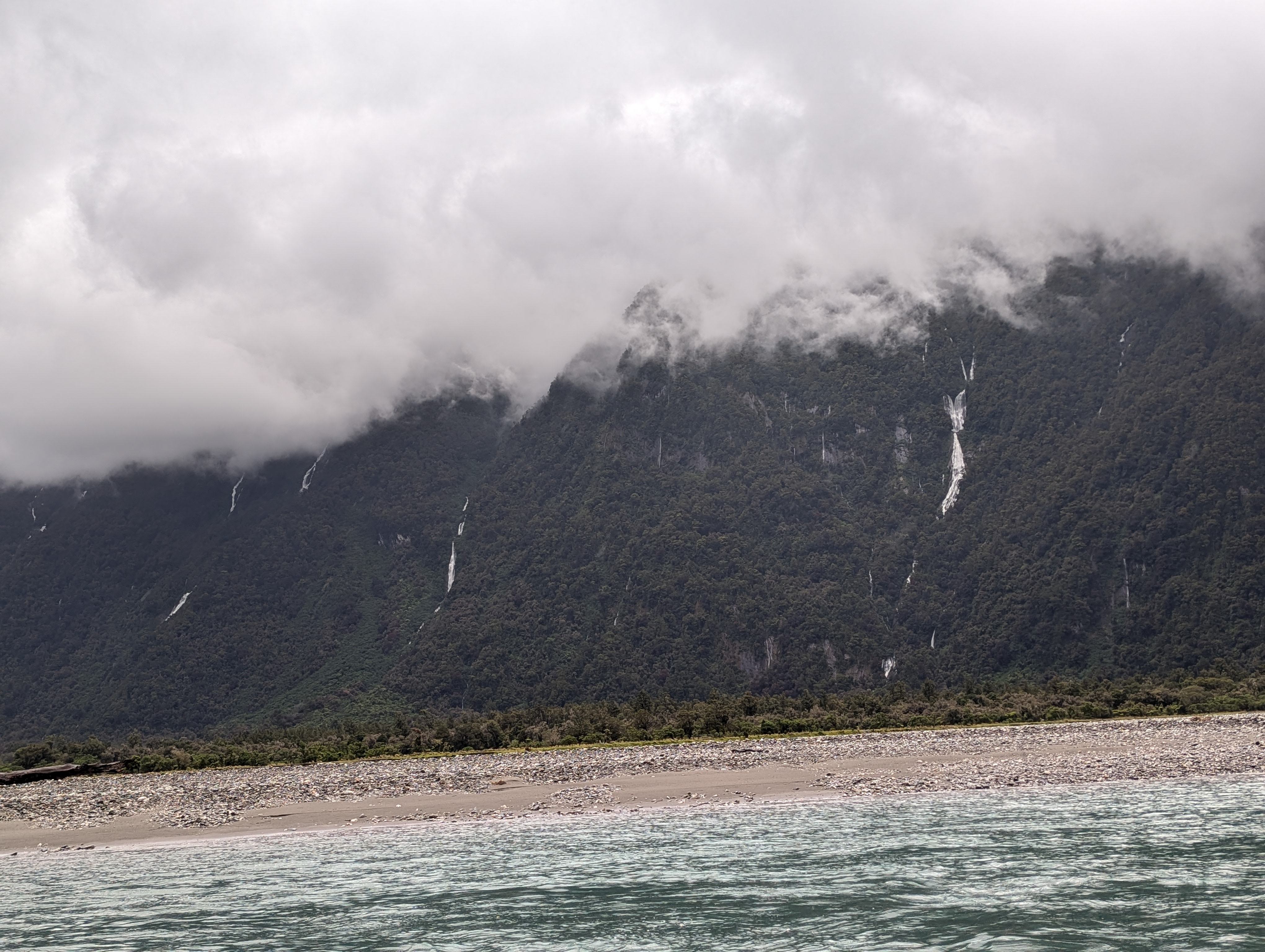
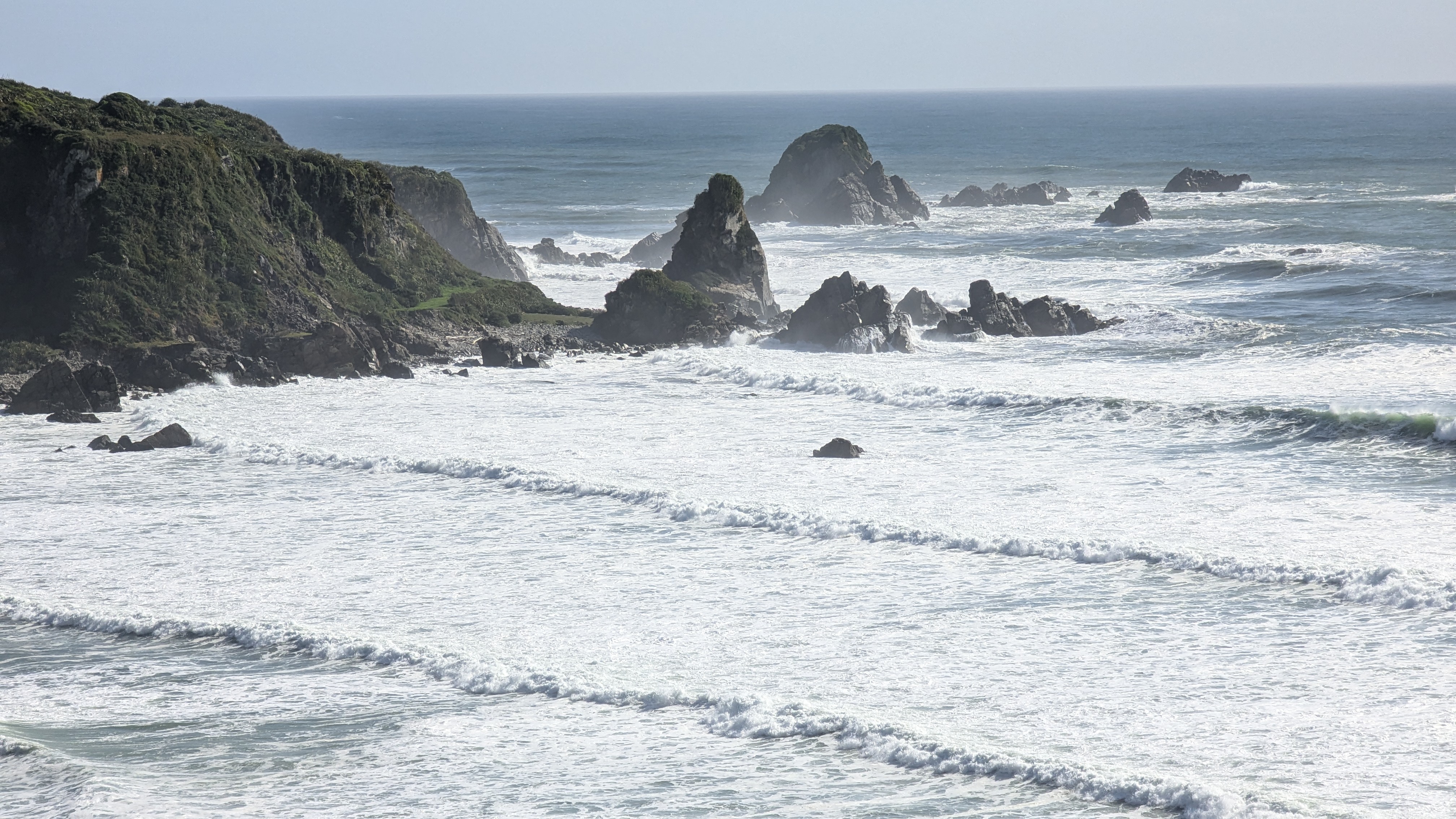
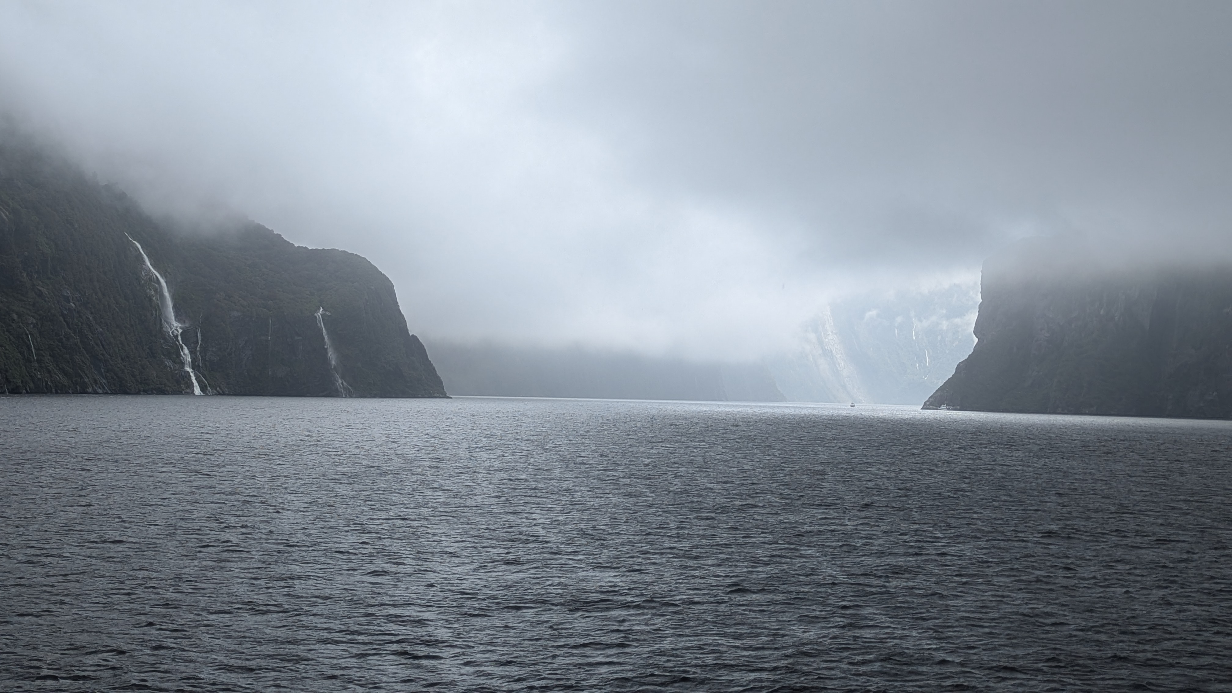
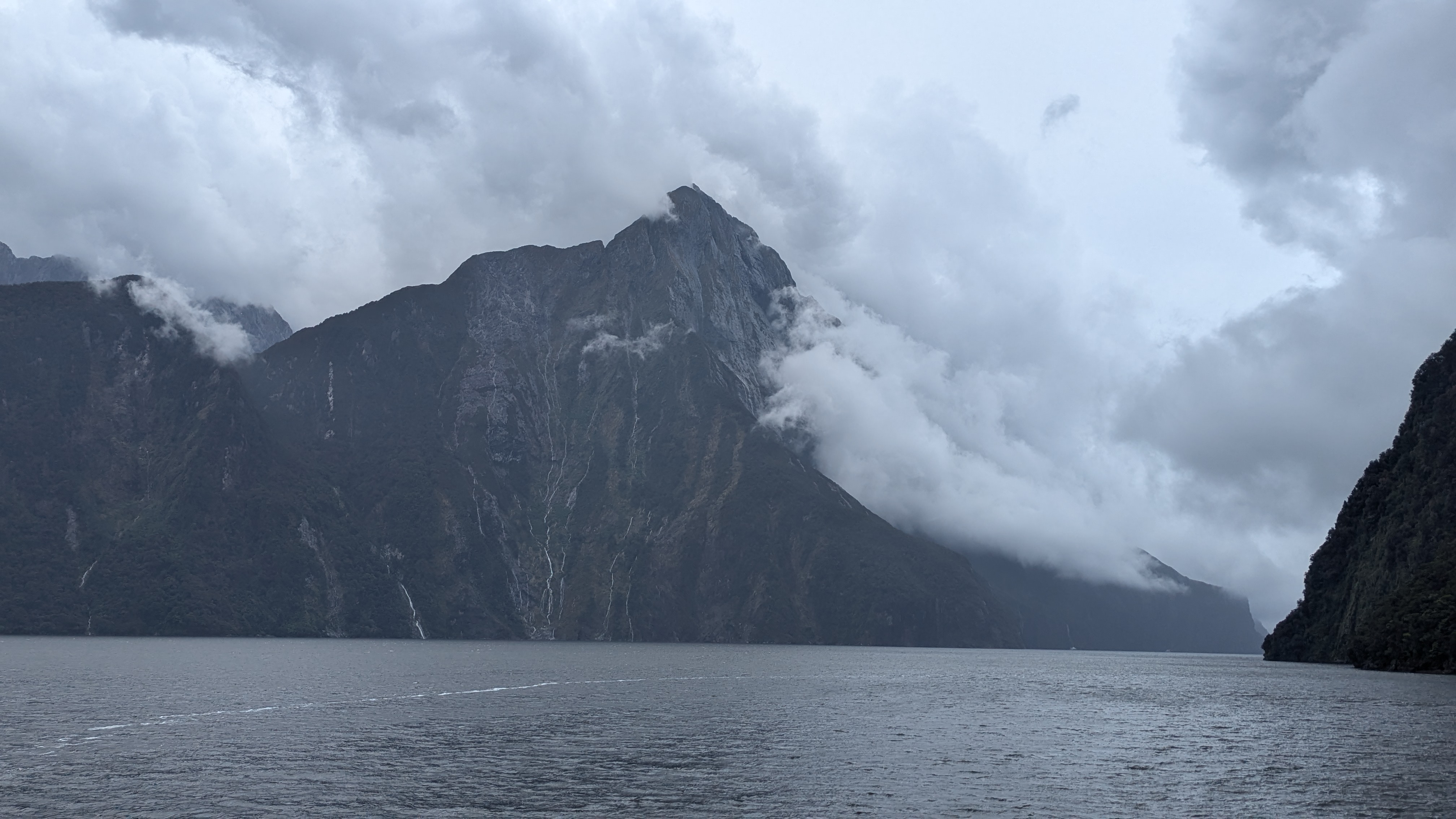
We felt a bit “processed” as we lined up to take a boat up the sound, but that feeling soon disappeared as we gazed at the awesome rocks.  The fjord is 10 miles long so it was a pleasant couple of hours cruising up and down, looking up at the rock formations.  There were numerous waterfalls – but they come and go depending on the rain (and it rains a lot here- about 7m of rain a year).  These waterfalls start within a couple of hours of rain, and then stop within a day of the rain ceasing.  It had been really wet in the hours before we visited so they were all in full flow, even though it was largely dry when we were on the boat. 

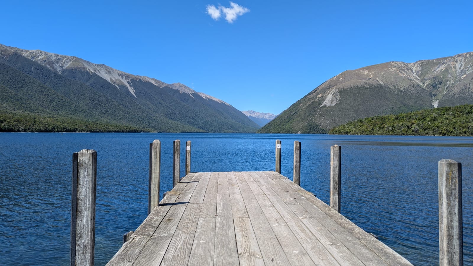
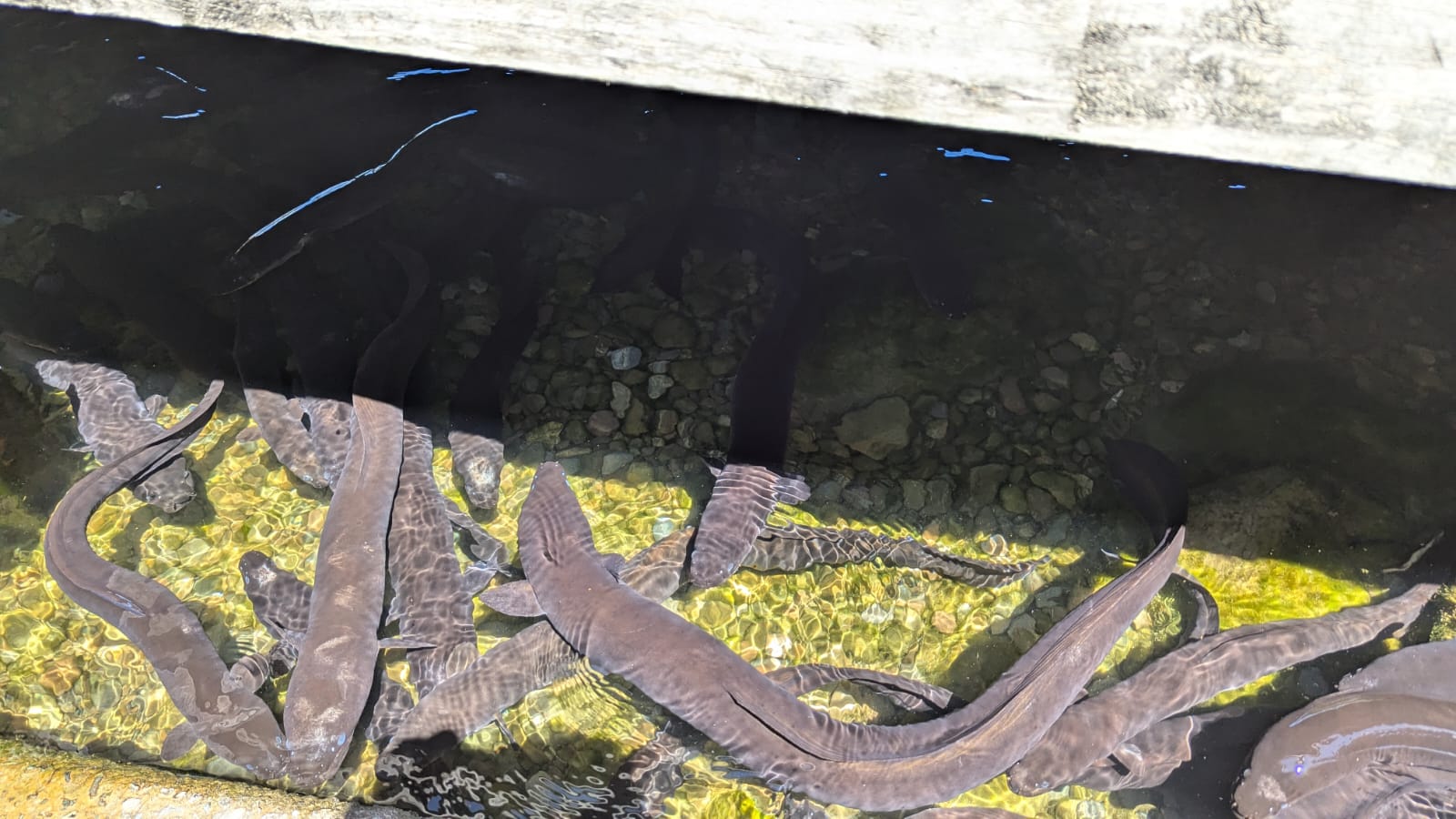
The only way to describe the place is with pictures and so I’ll let the pictures do the describing.

Then it was back in the bus and a return to Te Anau.  That trip brought an effective end to our New Zealand odyssey.  Thanks for taking the time to read – please respond or subscribe if you want to read about future travels.

Great memories of an amazing trip

A Jetboat trip up the Haast river and on to Makarora

We started the day on the bus to get through before the road closed.  There had been a landslip and the road was closing at midday – so we went early to pick up our boat at the mouth of the Haast river. We were directed onto the jet boat by our driver and guide – a formidable huntin’ shootin’ and fishin’ woman – for the 36km ride upstream. She described how she lived in the tiny township of Haast, proudly told us the entire population numbered 259 and that the nearest supermarket was 2 hour drive away in Wanaka.  She said the locals were hugely self-supporting and largely made do with what they could hunt or forage from the sea – mainly fish and crayfish.  She said she could take her boat home and in half an hour put on her dive stuff and come back up with 6 crayfish and 10 abalone (a type of sea snail) – the allowed daily quotas. These were not crayfish as we knew them but in her photos looked like enormous lobsters.  She told us that she could also shoot dear from her from gate. We decided she was not to be messed with – but she was also informative and great fun.

The Haast is a braided river – a glacial river formed of many channels. The jet boat was invented in New Zealand she claimed to allow navigation through the sometimes very shallow channels.  When the boat is at full speed and rising above the water, she only needed 4 inches clearance (she also said the Japanese had stolen the idea to develop jet skis).  The river channels can change after every rainfall and we marvelled at her skill as she wove through the river threads at considerable speed.

The Haast river is located along the Alpine Fault, where the Pacific and Australian tectonic plates clash against each other.  These plates are responsible for forming the Southern Alps. We were shown the valley where the Pacific plate is on one side and the Australian plate on the other – a rare event on land apparently.  They appeared quiet as we passed over.

She stopped the boat after half an hour or so to land on a large stony sandbar, and invited us to disembark to look for Douglas Jade – a rare form of the green stone that is famous in NZ.  Needless to say none of us made out fortune by finding any real jade, but we did find a lot of pretty stones!

We got back on the jet boat and zipped up the river, passing numerous waterfalls which formed whenever there was recent rain. ‘Do you want to spin’ she said?  As “no” didn’t appear to be an acceptable answer, we were told to hold on tight with both hands and after picking up speed she did the equivalent of a handbrake turn, which had us all squealing like kids on a rollercoaster (with much the same feeling). After four of these, the final turn brought us up opposite the largest waterfall – and with some relief the journey was over!

 We continued up the narrowing river valley in the minibus and over the Haast pass. We stopped for a short, wet walk through the forest to a lookout point – but it was rainy and foggy and not much was seen.

We ended the day at the Wonderland Lodge on Lake Makarora – a complex of toy-town like A framed houses. The clouds were clearing so we could see the mountain tops from our bed.  Our guides cooked us a delicious barbeque to end the day.

Paparoa National Park, Pancake Rocks and kayaking on Lake Mapourika.

Although we had been warned that the West Coast of the South Island is extremely wet, we woke to another sunny day. A short drive took us to Paparoa National Park along the coast road (actually the only road) with dramatic coastline on our right and towering mountains, covered in green on our left.

At Paparoa we had a gorgeous walk along the Paparoa river track. The bubbling river was clear but stained brown with the tanins leaching into the water from the surrounding forest, and edged with towering limestone cliffs and luxurious vegetation.   

On the way back to the start we spied a wild goat in the vegetation just up from the river.  There are numerous goats in this area and they are a threat to native species – so are hunted with the aim of eliminating them.  However, they have proven elusive and difficult to catch and so, at this point, the ecological threat remains.

A little further along the coast we reached Pancake Rocks – a promontory of eroded cliffs made up of layers of limestone and compressed mud so that they looked like stacks of pancakes. Large holes, bridges and caves had been made from the waves crashing in from the Tasman Sea. We’ve seen lots of cliffs but none that looked like this.

We then had a longer drive to Lake Mapourika and the village of Franz Joseph Glacier.  The famed rain swept through from time to time, clouds wreathing the green mountains, but it had largely cleared by the time we arrived. There had been a hasty change of schedule as the guides had received notification that the coast road (which is the only road) was going to be closed completely the following afternoon for a few hours.  Thus, if we wanted to make our way south, we would need to drive through the following morning. The planned kayaking trip on the lake for the morning had therefore been transferred to this evening.

Kitted up with double kayaks, aprons and life jackets, and dosed up with sandfly repellent,  we had a serene and instructive guided kayak on the lake. After almost 40 years of marriage David and I managed to paddle our double canoe in (almost) perfect unison; at one stage we were told we had to slow down!!

The lake was surrounded by untouched verdant forest. The soil layer was extremely thin so the trees grew very slowly.  The average age of the tree canopy was 800 years, with the largest trees being 1400 years old. The dense forestation was incredible to observe close up. There were 5 species of kiwi in the forest and a very active programme of kiwi conservation that was successfully increasing numbers after a period of decline. There was also a very active programme of eradication of mammals, which were introduced species to New Zealand by the colonisers over the last 100+ years (including goats – see above). The area was hoping to become mammal free by 2025 (just a few weeks away) by trapping and poisoning the invaders.  Some of the techniques were a bit hit and miss, and were controversial but overall the programme was working- albeit millions of dollars was invested to achieve that outcome. The last amazing fact was that although the lake was just below the mountain glaciers but was entirely fed by rainwater, and the water temperature was 18-20 degrees.  This is because it is a kettle lake – formed by a huge lump of glacier ice that had become separated from the main glacier and gradually melted.  The lake was therefore not fed by a glacier river but by the massive rainfall (up to 5 meters a year). The lake was almost black in colour from the tanins and therefore absorbed heat from the sun.  It could have provided fantastic swimming except for the very pesky swarms of biting sandflies (every inch of showing skin was smothered in bug repellent). The late hour and hunger also deterred us from swimming and so we all left the water more or less unbitten.

Return walk from Bushline Hut and Coastal Walk to Seal Colony

(David) The night was quite cold and the wind blew under our tent. I felt it blowing right onto an exposed patch of my body; one where the sleeping bag appeared to have no effective covering.  Adjustments to clothing mostly sorted this and eventually we both slept well – or fairly well at least.  We woke, ambled into the hut and were greeted by tea, coffee and breakfast!  We could get used to being catered for.

After breakfast we packed up and ambled down the mountain.  I have been resistant to out and back walks in the past but we have done quite a few this holiday and my resistance is crumbling.  The views are different going the other way, the weather is different and we see the mountains at a different time of the day.  It was a delightful hour plod down the hill, with great views of the lake and then back to the minibus.

We put this in because it made us laugh!

We had a bit of free time at Lake Rotoiti again. We and saw again the long finned eels around the jetty and read about their incredible lifecycle.  The eels can live up to 100 years of age and only spawn once in their lifetime. Before spawning they leave the lake and head to the Pacific and swim 1000s of miles to near to Tonga where they mate, spawn and die.  The baby eels spend 7-10 months drifting back to New Zealand on the ocean currents and as they develop, swim upstream to the lake.

Leaving the lake we had  another (tedious) drive of a few hours, heading to the west coast, where we reached the wonderfully named “Cape Foulwind”.  We were booked into mini-cabins at this seaside resort.  The area was a former quarrying centre where granite was discovered as part of the cliffs, and so these were blasted away to make roads and the like during the C19 and early C20. 

The stone was used in a concrete plant which operated here as late as 2016, but there is no evidence of the plant now.  Instead, there is a coastal area with some modern (expensive looking) houses probably being second homes for Christchurch’s elite.  We walked along the road and then joined a cliff walk at a lighthouse.  It was a great walk for a couple of hours to see a seal colony.  In typical DOC style, the path was well marked with barriers and signs preventing anyone being tempted to go too close to the cliffs. 

This was the Tasman Sea, with waves rolling in every few seconds.  It was a peaceful, sunny afternoon but the storms here must be impressive. 

The seals were New Zealand fur seals (known as kekeno in maori).  They were lolloping about on the rocks, having an occasional spat and then gliding into the sea. 

We ambled back to the accommodation feeling we had had a good day.

Nelson Lakes National Park. Overnight hike to Bushline Hut.

Our day off in Nelson was cloudy and rainy – so much for being the sunniest place on the South Island. It gave us the excuse to do very little for the day; so we were raring to go the next morning, which did dawn bright and sunny.

After a tasty breakfast (best coffee so far), a shortish drive took us to the beautiful setting of Lake Rotoiti in Nelson Lakes National Park. We did a short walk through the forest, learning about the key part played in the local ecology of the honeydew from the scale insect that lives in the bark of the beech trees. Unfortunately, invasive wasps were gobbling up the honeydew, so as in most parts of NZ, there was a programme to get rid of the invasive species to restore endemic species.

Lake Rotoiti
Eels below the jetty – they live for up to 100 years!

After an early lunch by the lake we set off on the hike proper for the day – a two hour tramp with packs up to Bushline Hut on Mount Robert, where we were staying overnight. We had elected to camp, rather than squash into the rows of mattresses in the hut, so were back to carrying full packs.  This paled into insignificance when we saw what out guides carried up –  their kit and all the food for 11 people for the evening meal and breakfast.  Their loads included 2 bottles of wine – I fear we set a precedent.

Back to the hike – this was a perfect climb. Nothing was too steep. The views over the blue lake were stunning.  As we climbed, the lake got smaller but the views over the mountains got greater, then we were rewarded with views over to distant mountain ranges. 

The setting of the hut was stunning – as the name suggests it was right on the bushline (or tree line as we would call it).

We set up our tent in the trees behind the hut where we would be relatively sheltered as the mountain was famed for its strong winds.  We then emptied the rest of our packs apart from a few layers and some water to prepare for the next part of the day.  The more energetic in the group (including us) decided to hike up to the main ridge and then along the ridge for a while.  This route would eventually lead to the Angelus hut though that was not for us today; it was four and a half hours further on from our hit. Six of us set off, reaching the edge of the ridge about half an hour later.  We then walked along the ridge, gradually climbing as the vista opened up even more views.  It was windy but fortunately the forecast winds of 55-70km an hour did not materialise.

After about an hour we got to a lookout spot and the rest of the group decided to turn back.  David and I were keen to carry on a bit longer so we agreed we would do another half an hour max, and then turn around so as to ensure we were back in time for dinner. The sun was getting lower and we were walking in the lovely golden light of late afternoon. We could see a high point ahead and now there were only the two of we could move faster.  We set ourselves a brisk pace and managed to get to ‘Flagpost’ summit, one of the highest points on the ridge, about half an hour later. Our stay at the top was necessarily brief as we were hit by the famed strong winds. So we about-turned and walked equally briskly down. Our legs were beginning to tire following our exertions but, having checked the time, we got to the last turn off down to the hut as predicted.  We then allowed ourselves to slow down a bit and got to the hut bang on time – to find cheese and wine ready and waiting for us, followed by a delicious meals cooked by our guides. Tired but elated we were tucked into out sleeping bags by 8.30pm and soon asleep.

Nydia track back to Kaiuma Bay, then by minibus to Nelson.

The day dawned bright again and after breakfast and a final look at the bay, we retraced our steps back to Kaiuma Bay.  We had felt a bit dubious about repeating the track rather than continuing north on the trail, but the logistics of getting the minibus to the other end were too great and we were told the track was not that good.  In fact, it didn’t feel repetitive and the trail through the forest, with different perspectives, was still beautiful. Everyone was going well and it seemed no time before we were back at the van (although it was 5 hours).

On the way on to Nelson we stopped at an unscheduled swimming spot at a bridge over the Pelorus river, which was known to one of our guides. Fantastically clear water flowed through a bit of a rocky gorge with deep pools. It felt so refreshing in the cool water after our hike. 

Then the jumping began again….First from the higher rocks, then from the bridge –  a terrifying 20m above the river.

In a bit of a testosterone fuelled competition, both the guides did the jump and then one of our fellow travellers.  I could hardly bare to watch and I jokingly threatened David with divorce if he dared it – which he did not; but they all came out alive! After everyone had cooled off literally and metaphorically, it was back on the minibus for the last hour to Nelson. 

This town is supposed to be the sunniest place on the South Island.  Here the guides left us to have a day off tomorrow to do our own thing. It felt a welcome break not be part of a group with the day pre-ordered for us.  On the other hand, it had been great not to have to think about or decide anything for ourselves for a week!

Long way down…

The Nydia Trail – A delightful forest tramp

(David) This day started with a fantastic breakfast.  Now I know we go on and on about breakfasts in this blog – usually the best meal of the day which is “second breakfast” – but this was great.  We left our anonymous hotel to go a few hundred yards along the beach road to The Beach House Café, Kaikoura – squashed between the Little Laundromat and the Lazy Shag (which claimed to be “serviced” accommodation – although what services were provided was a little unclear).  Anyway, the eggs benedict and bacon, with excellent coffee, at the Beach House Café are worth travelling hundreds of miles for! 

Then it was back into the minibus to go north to the Marlborough Bay area.  This area of New Zealand is wine country, with mile after mile of vines across the hills, and even on flat fields.  The wines are well known in England and taste just as good here (more of that later).  We stopped for ice creams at the town of Havelock, which had a “frontier” feel to it.  The town sits beside Pelorus Sound, one of many sea water inlets that lead out into the Cook Strait.  Whilst there and spurred on by all the wineries we had passed, Bernie had the genius idea of buying some local wine which we smuggled into our backpacks for later.

Then it was a 45 minute drive along a gravel road on the northern side of the sound to get to Kaiuma Bay, where the trail began.  The trail was about 12 km, including two fairly substantial climbs and descents, to reach Nydia Bay where there is a “hut” complete with running water, electricity, a fridge (when the generator works) and hot showers – but still a hut.

The walk was almost entirely through native forest for the first 10km and then a final 2 km along the sound.  It is hard to describe how lovely it was to tramp through this hugely variable vegetation. 

We saw palms of all descriptions, rotting trees with fascinating bark shapes, beach trees which were nothing like the beach trees we have in England and enjoyed the steady hum of cicadas, which has been the signature sound of summer abroad for so long.  I hope the pictures do credit to the beauty of the forest. At the narrow shoulder we looked down to the idyllic Nydia Bay, surrounded by the forested hills, where the only access is to walk in (or rarely get to by water taxi, although the hut ranger said he had only ever seen people walk or mountain bike in).

Once we arrived, we all went swimming in the sea to cool down after a fairly arduous tramp.  It was so, so refreshing.  There was a jetty – so for the younger elements, the inevitable jumping off, diving and trying to do “loop the loop” in mid-air, trying to turn full circle to avoid a sensitive anatomical part hitting the water at speed.  Some were more successful than others. We went for the more genteel glide in off the jetty steps!

After a swim we repaired to the lodge to have freeze dried meals, to find our guides had carried up a whole cheese board including dips and crackers.  We brought out the wine for everyone that we had smuggled into our rucksacks as a surprise.  This was another unexpected treat which let to Bernie being awarded the “toy kiwi” prize for the day.  This was luxury tramping in a five star setting.

Kaikoura. Swimming with dolphins.

Today is not about cycling or walking but swimming. But a magical swimming experience in a beautiful setting. We trundled through the suburbs of Christchurch heading north. The road looped inland through green hills with a short stop in the pretty town of Cheviot. As we wound down the last hill the first views of the Pacific emerged, blue and sparkling in the sun.  The road hugged the beautiful rocky coastline – a road that had been closed for an extended period following the earthquake in 2009. Seals were basking in the sun, and we glimpsed a few dolphins close to the shore.

The town of Kaikoura straddles two large bays bisected by a small spit.  The area is home to several pods of dusky dolphins – so called because of their bluish/black backs. The dolphins are attracted to the bay because just a kilometre off shore is a deep sea trench that contains lots of good things to eat when they rise up near the surface during the night. This also means the dolphins feed at night and spend the day nearer to shore gambling about in the water.

The Dolphin Experience takes trips out where as a ‘swimmer’ (rather than a spectator) you can get into the water with the dolphins.  This came as part of our trip package and I felt a bit uncomfortable about the prospect; but we were assured that the dolphins remain completely wild.  They are not fed but dolphins are curious creatures and like to investigate what is going on when the boats arrive.  We were also warned that sometimes they don’t play ball and we may not see them at all. The boats go out with a licence from the Department of Conservation with strict limits on the number of boats, the number of people allowed in the water at any one time and the guides monitor the human activity to make sure it does not impact on the behaviour of the pods.

It was a beautiful sunny day. The waters can be very choppy and we were told sea sickness is very common but from a distance the blue waters looked calm.  Although closer up we found it was choppy enough.  I wouldn’t like to see what a windy day looked like. We were togged out with thick, very buoyant wetsuits, flippers and snorkels.  A short bus ride and then we joined a small boat heading out into the bay.  We were in luck and after a 30 minute glide along the coast, we were called up to prepare for our first swim. The boat is adapted with seats at the back almost in the water where you push off to swim.  When the boat stops and a horn blows – in you go. When the horn blows again you come back to the boat.

In all we had 5 swims, each lasting about 5 or 10 minutes and it was a truly magical experience. The pod of dolphins do exactly what they choose – they are in control.  They swim under us, and around us, sometimes got really close to us.  We were encouraged to make squeaky noises to attract the dolphins and soon we were all cheeping away into out face masks! When the pod wants to move on it does.  A couple of the swims I only saw a few dolphins but on a couple they were swarming round, including several mothers with calves.

After the final swim we clambered out of our wet suits and the boat gently chugged after the pod.  An estimated 200 dolphins then gave us an incredible display of swimming and acrobatics. They stayed around the boat for ages, happy to swim around and under the boat, rising and falling out of the water with some doing high jumps and twists and backflips. Dolphins come out of the water to breathe and we saw them spurt water out of their air holes, take a breath in mid air and then descend again. 

There are lot of theories about why the dolphins behave in this way but there seems to be evidence that they do it just for the joy of it, and it certainly looks that way to us landlubbers on the boat. At one point a seal appeared in the middle, flapping his flippers and the smaller dusky dolphins were joined by a larger bottle nose dolphin.  The guide explained that this was highly unusual but it first appeared with the pod a couple of years ago and reappeared a few weeks previously.  He said no one know why he has joined the wrong pod, but his behaviour is starting to mimic the behaviour of his new friends.  In the end it was the boat that had to turn and head for home as we were out of time, with the pod still splashing and churning the water.

As the boat was speeding back to the bay an albatross flew alongside the boat, probably for about 10 minutes. This beautiful bird with its large wingspan was almost as big a highlight as the dolphins.  We were told this was a young, small albatross but it flew at incredible speed with only the occasional flap of the wings, dipping and swooping along the water. A fantastic end to a memorable trip.

Aoraki/Mount Cook – Seely Tarns and Mount John, Lake Tekapo.

We set the alarm for 5.15am so that we could leave at first light. The rest of the group had elected to do a shorter walk up to the Red Tarns but we felt we wanted to give ourselves something a bit more stretching.  We knew it was a tough walk and we also knew we needed to be back down the mountain to coincide with the end of their walk, so as not to hold everyone up!

The forced early start gave us one of those truly magical moments. The sky was turning pink as we left, turning the glacier ahead of us a pale rose colour. As we started to walk the sky to the east was infused with a brilliant orange, the clouds shining and shimmering. It only lasted a few minutes but it was glorious and set us on our path in good spirits.

It was about a half hour walk up the valley to the base of the path up to Seeley Tarns. We were the only people about apart from one lone runner. As the path turned off it began to rise, seemingly almost up a cliff, and then it was steps, steps, steps and more steps. 

The path is reputably called a “the stairway to heaven” and involves climbing about 2,200 steps – and going up the 600m of height gain it felt like it!  However, as with so many mountain walks, the ever-evolving view kept us climbing and climbing.

We were going well – in fact so well that we almost missed the tarns. We thought it would be about 2 hours to get to the tarns (half way to the ridge) up but in fact we got there in just over an hour.  The sign was tiny and we nearly missed it by continuing on up the path to Mueller ridge. After a couple of minutes, we realised we could see the tarns and went back to the side path. There were only 2 tiny tarns but there was a lookout point with amazing views.

About 10 minutes after us, while we were eating out breakfast of bananas, the next person arrived and by the time we were going down there were a steady stream of people coming up, so it was special to have the place to ourselves for a short time.

We climbed a little higher up the path so we could look down on the tarns and take some pictures, and then it was down, down, down the stairs – killing on the knees. Half an hour back along the valley to the hotel where we even managed to scrape into the breakfast we had missed, arriving at 8 minutes to 10 with the restaurant closing at 10.  It rounded off the perfect walk.

We then rejoined the group and were taken in the minibus to the base of Mount John, at the edge of Lake Tekapo.  This vast lake starts here and goes north, with Mount John at its side.  The lake is an incredible blue colour, similar to lake Pukaki running up to  to Mount Cook. The colour is caused by glacial flour – tiny particles of rock that are rubbed away by the glacier and remain suspended in the water. This fine silt absorbs the darker blue and purples of the light spectrum while to water absorbs the longer red, orange and yellow wavelengths, leaving an amazing turquoise colour.

 The climb up the mountain was only about an hour long but we were feeling our earlier walk and took it slowly.  We went through some woods and came out onto an open area and then the wind hit us – and boy did it hit us.  The top of Mount John gives a 360 degrees view around the surrounding hills, all the way to the Mount Cook range.  It is the site of the world’s largest International Dark Sky Reserve; but all we really experienced was the very strong winds.   It was a shame that we did not return 12 hours later to see the southern skies as they are supposed to be truly astonishing.

Then back in the min-bus and the long journey to Christchurch which is still recovering after the 2009 earthquake. 

Aoraki/Mount Cook – a wet and windy reception to these amazing mountains

We are now on journey around the South Island of Aotearoa New Zealand – as the country is now known (the addition of Aotearoa reflecting its Maori heritage).  We joined a New Zealand trails group on a fixed itinerary, which started in Queenstown and today took us to from Wanaka to Aoraki/Mount Cook, a village at the foot of the extensive Aoraki/Mount Cook range of mountains, the highest part of the Southern Alps.  Aoraki is the Maori name for Mount Cook, the highest mountain in Aotearoa New Zealand.  As we were driven up Lake Pukaki (which is the lake of the Tasmin River), the weather started got progressively worse.  High winds and driving rain greeted us as we came into the mountain village that serves as a base for walkers, climbers and sightseers in these amazing mountains. 

We dashed out of the rain to visit the DOC (Department of Conservation) visitors centre.  It contained a vast amount of fascinating material about the formation of the mountains, the flora and fauna and a history of first and subsequent ascents.  These are seriously challenging alpine mountains and Mount Cook was only conquered in 1894.  The first attempt to climb Aoraki/Mount Cook was made in 1882 by an Irishman, Rev W.S. Green, and two Swiss guides. Although his party climbed to within 20 metres of the top, it was not until Christmas Day in 1894 that the summit was reached, by three New Zealanders: Tom Fyfe, Jack Clarke and George Graham.   They had been spurred into action by news that the American climber Edward Fitzgerald and the famous Swiss/Italian guide Matthias Zurbriggen were on their way to New Zealand. The foreigners arrived in the country in late December and were less than pleased to discover that they had come all that way only to be thwarted in their aim of climbing Mount Cook for the first time. 

We were not intending to do anything that stretching and were only due to climb up to the Muller Ridge via Sealy Tarns but no one in their right mind would attempt the walk voluntarily in such weather.  So we settled for a half hour walk up to Kea Point, where we were blown away by the view which was supposed to be expansive views of the Footstool, the Hooker Valley, the Mueller Glacier Lake and Moraine, Mount Sefton, and Aoraki/Mount Cook.  In fact we saw the lake and a bit of the glacier but the rest was in cloud.  But we were blown away by the wind and horizontal rain.

Then back to the hotel for an hour to play cards whilst we waited for our room to be ready, and watched the rain on the windows.  It cleared up later in the afternoon and we went out for a walk for about an hour and a half – up the side of a valley overlooking the Murchuison valley.  By this point it had cleared and the forecast for the following day was not too bad, so we agreed with our tour leaders to strike out early and walk up to Sealy Tarns – so at least doing some of the day we had missed although we would not get all the way to Muller Ridge.