Monthly Archives: May 2017

Day 14.  Dalmally to Dunoon. 53 miles.

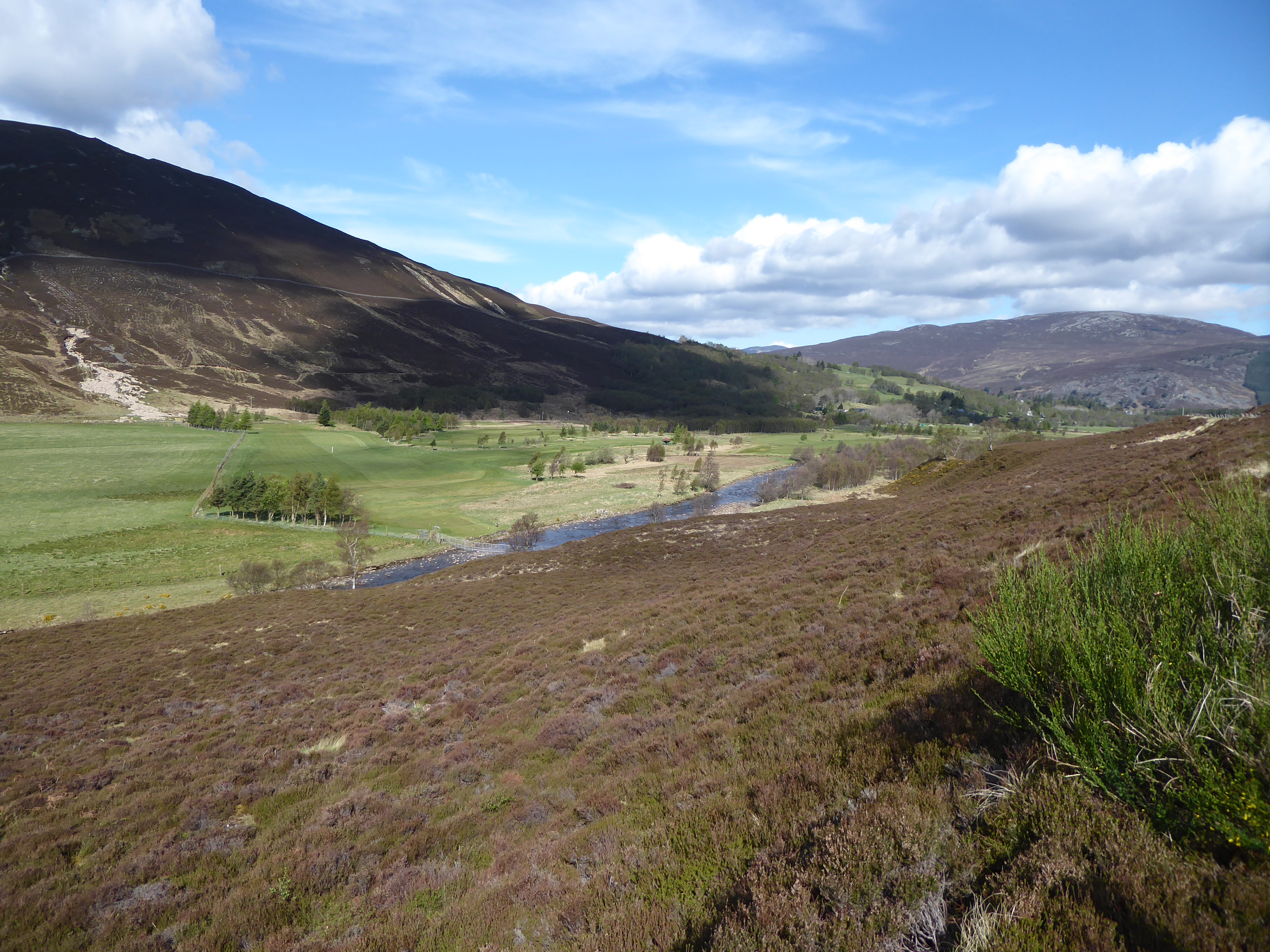
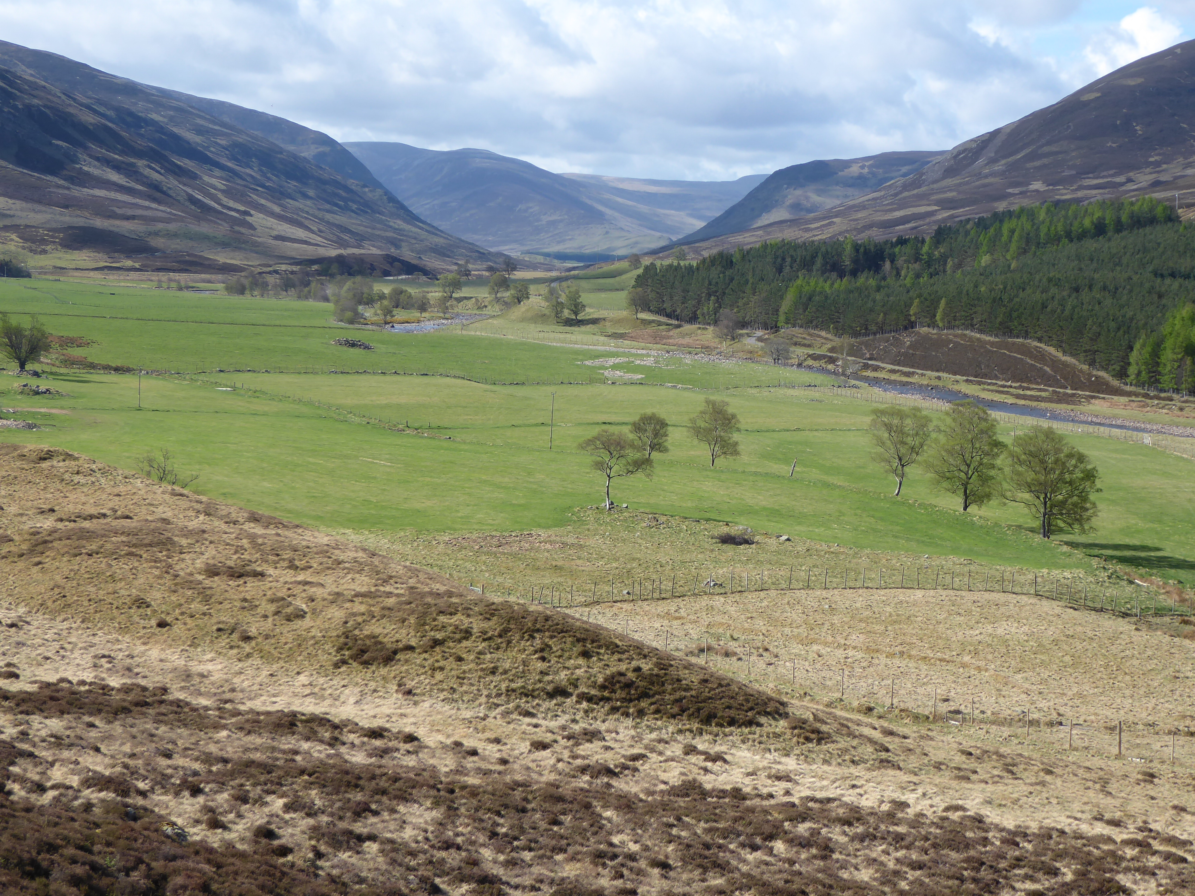
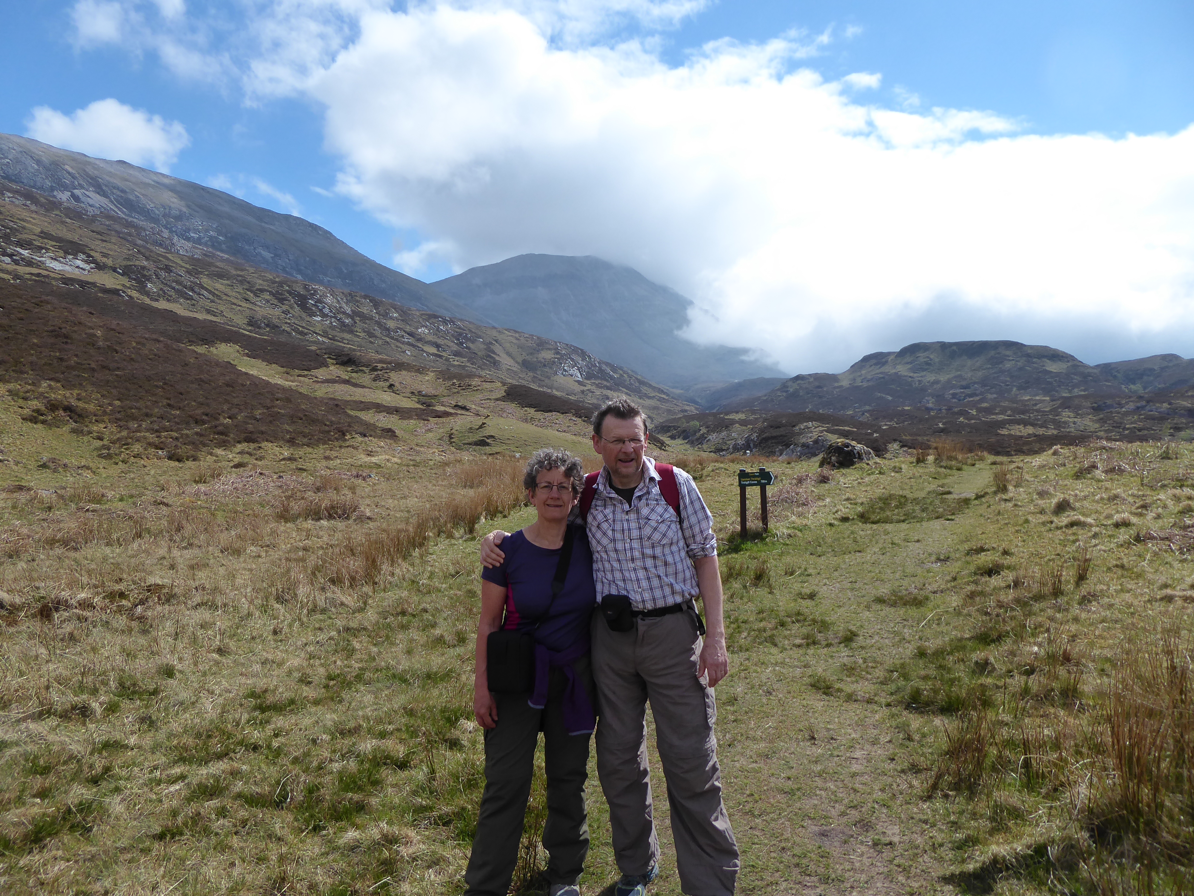
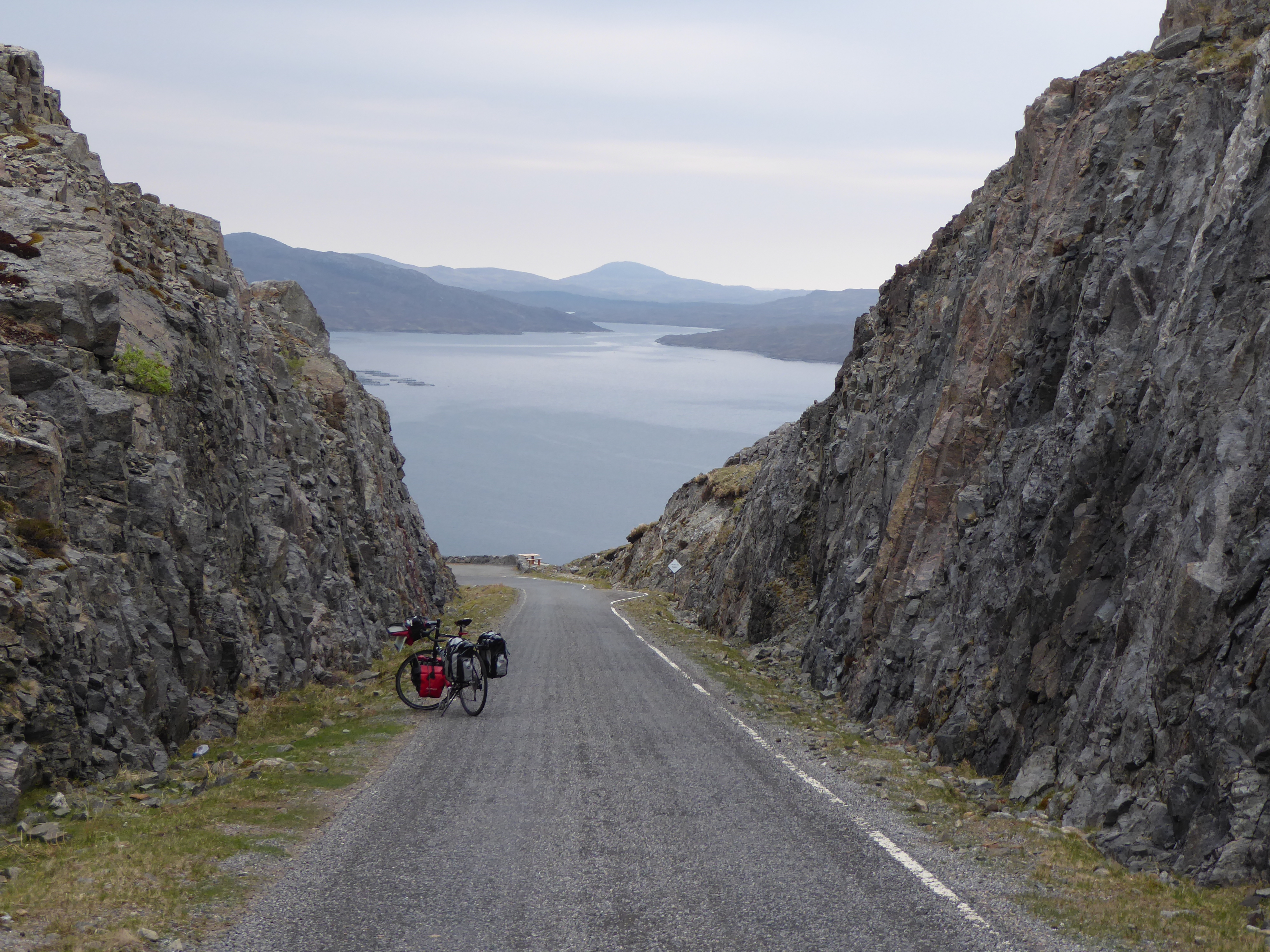
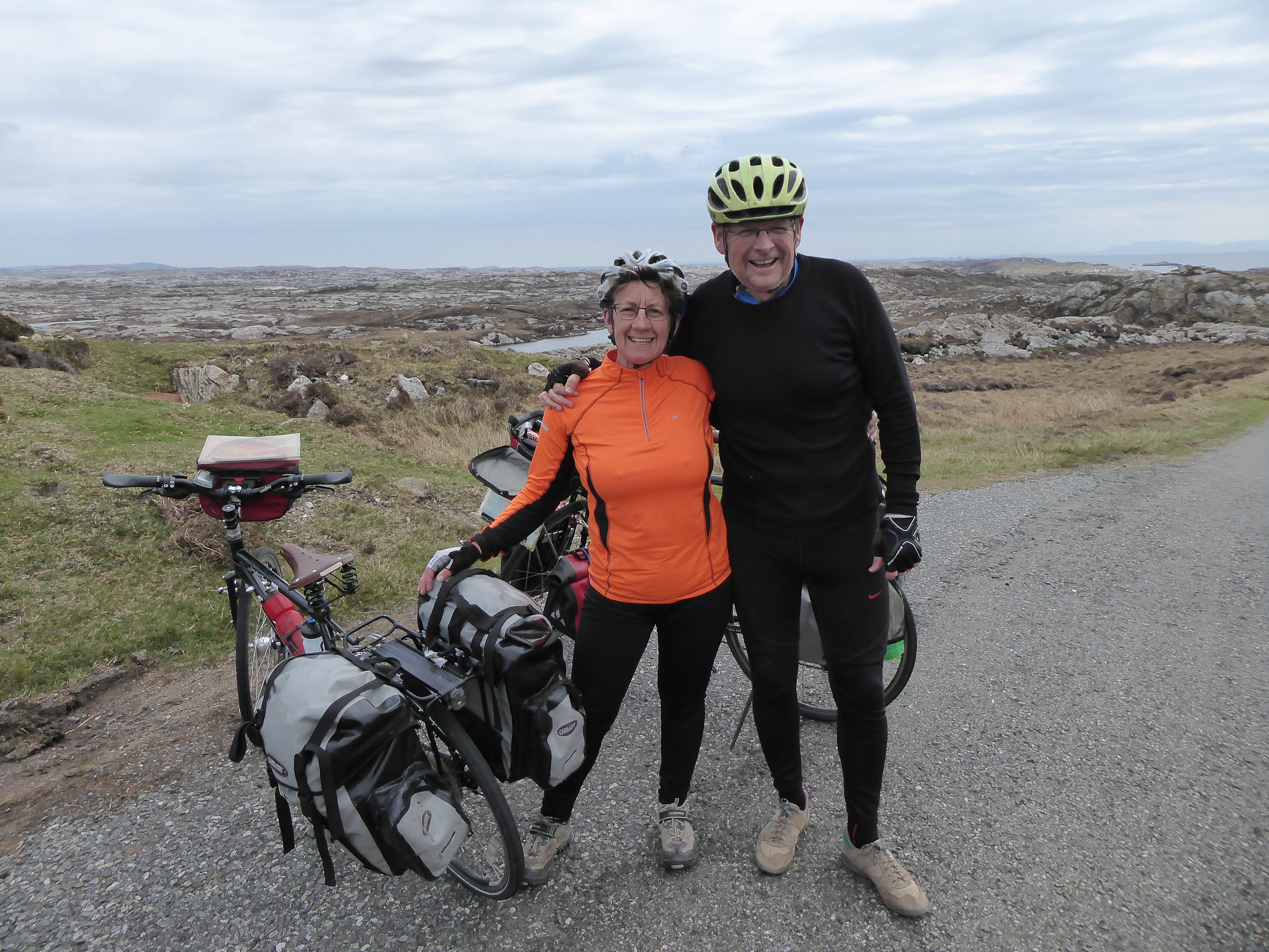
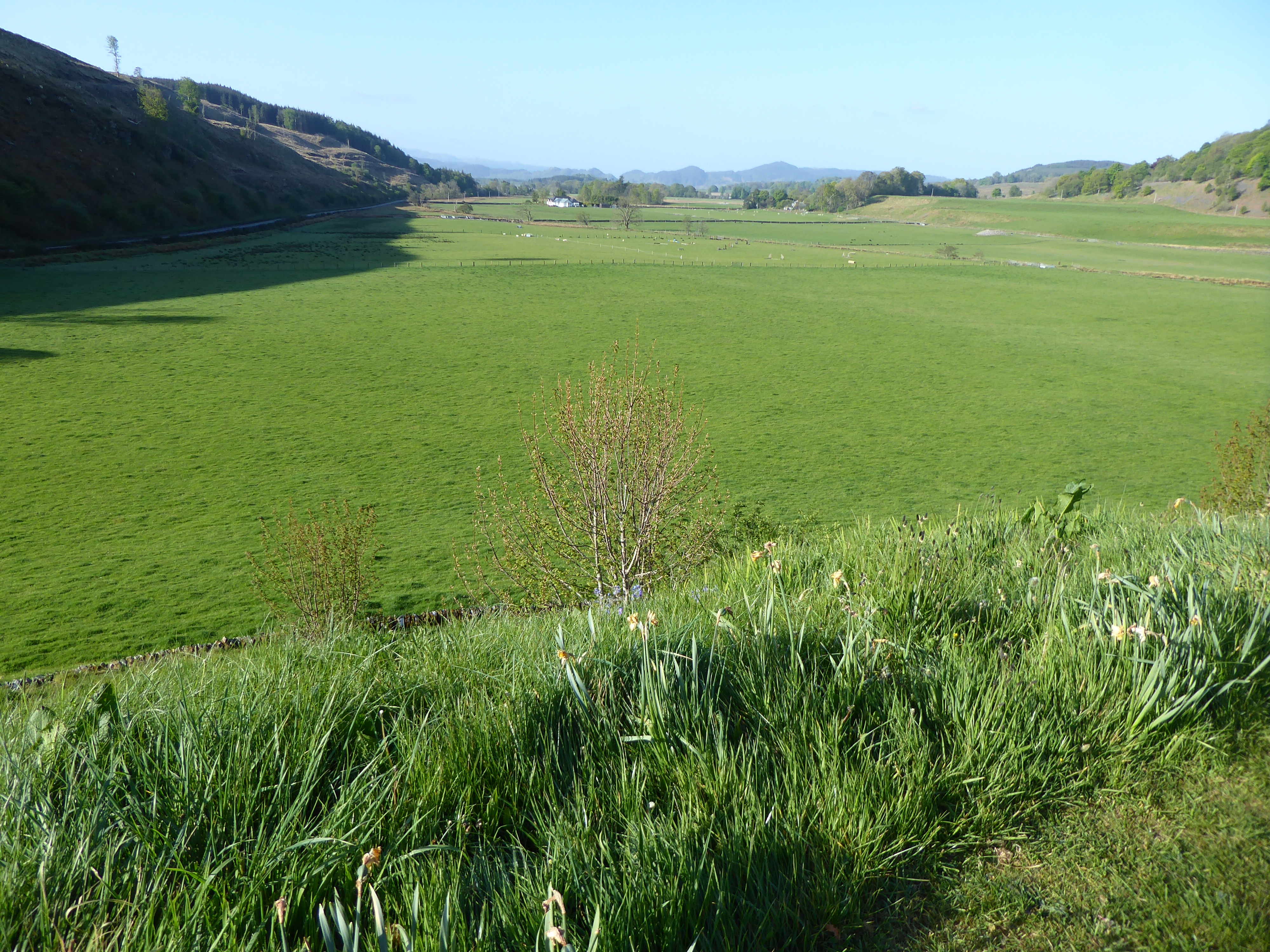
Often our last day of a trip is a bit of a trial of ‘getting there’  but today was a pleasant day cycling – no major wind, no big hills, lovely scenery and cruising to 50 miles by 2.30 (although that shows how much fitter we have got over the last 2 weeks). 

David’s attempt to photograph a red squirrell

After a rather mediocre meal at the local hotel last night and rather mediocre breakfast we set off with, at least, our stomachs full.  Our B&B was pleasant – new owners had taken over 6 weeks ago and were ‘de-chintzing’ the place but there was still quite a lot of pink about!  Have decided airbnb is much more our thing – and talking to Charlotte (Loch Tay) it has been a boon for many rural areas in Scotland. For example the Highland 500 – a 500 mile circle round the northern highlands (car or cycle) has been heavily promoted and has been highly successful – but there was a real shortage of accommodation along to route, encouraging lots of people to use their spare rooms for airbnb and generating much needed cash for many families. We have found it much more relaxed than formal B&Bs. In fact where we are tonight our host is not even here (‘sorry I won’t be there, key is under the frog, make yourselves at home and use the whole house’) – it is reassuring that it still works successfully on a lot on trust.
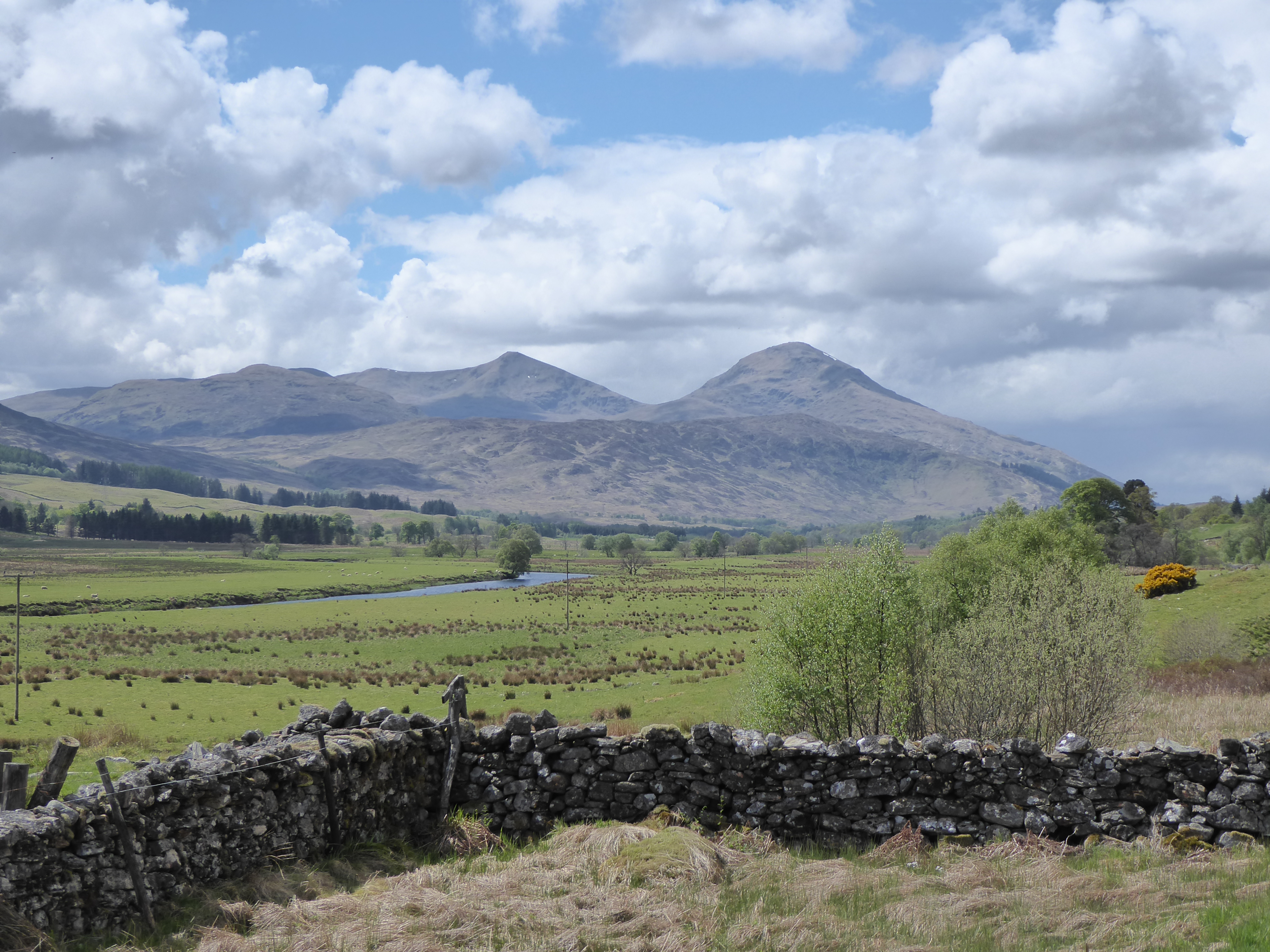
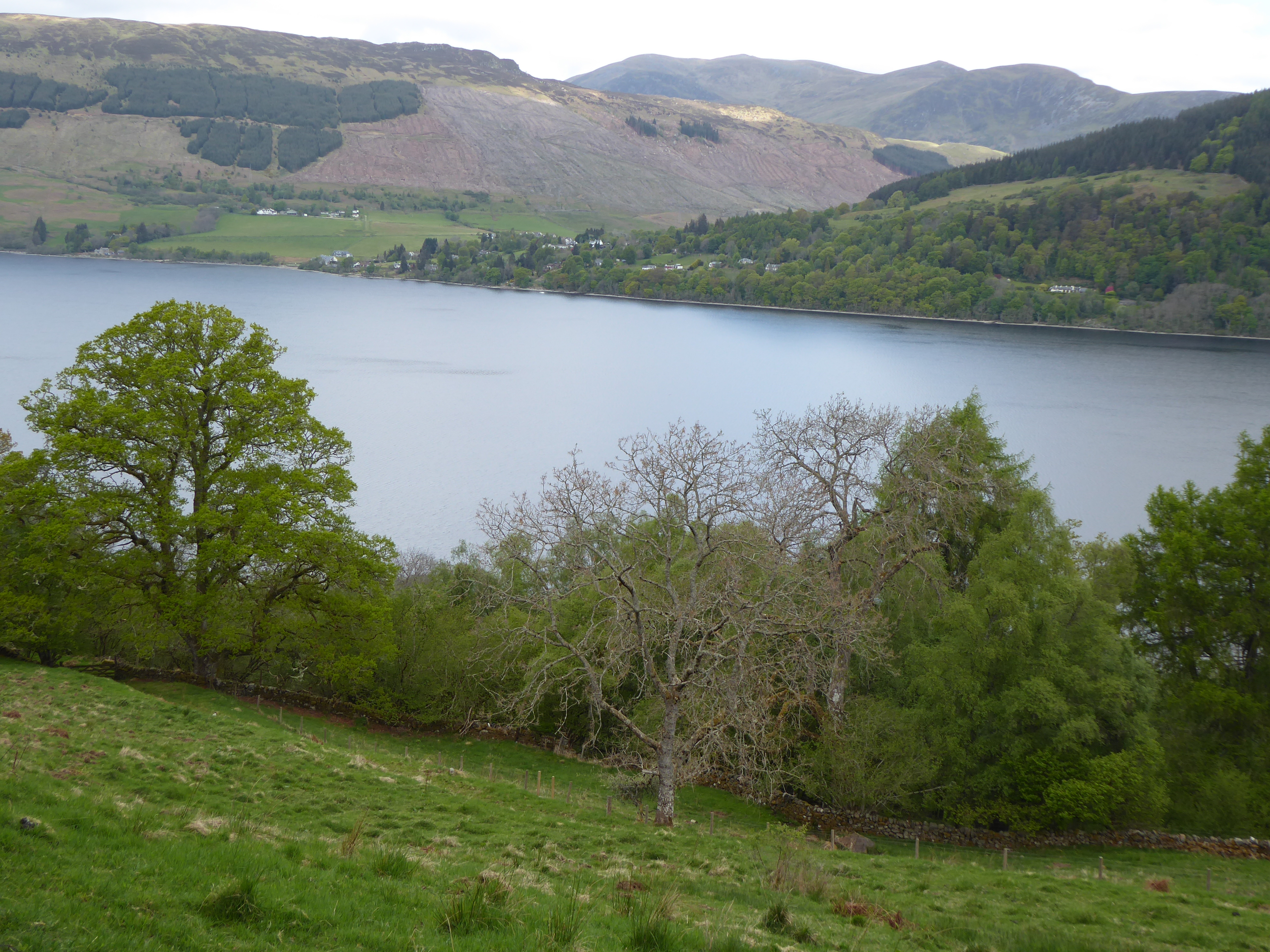
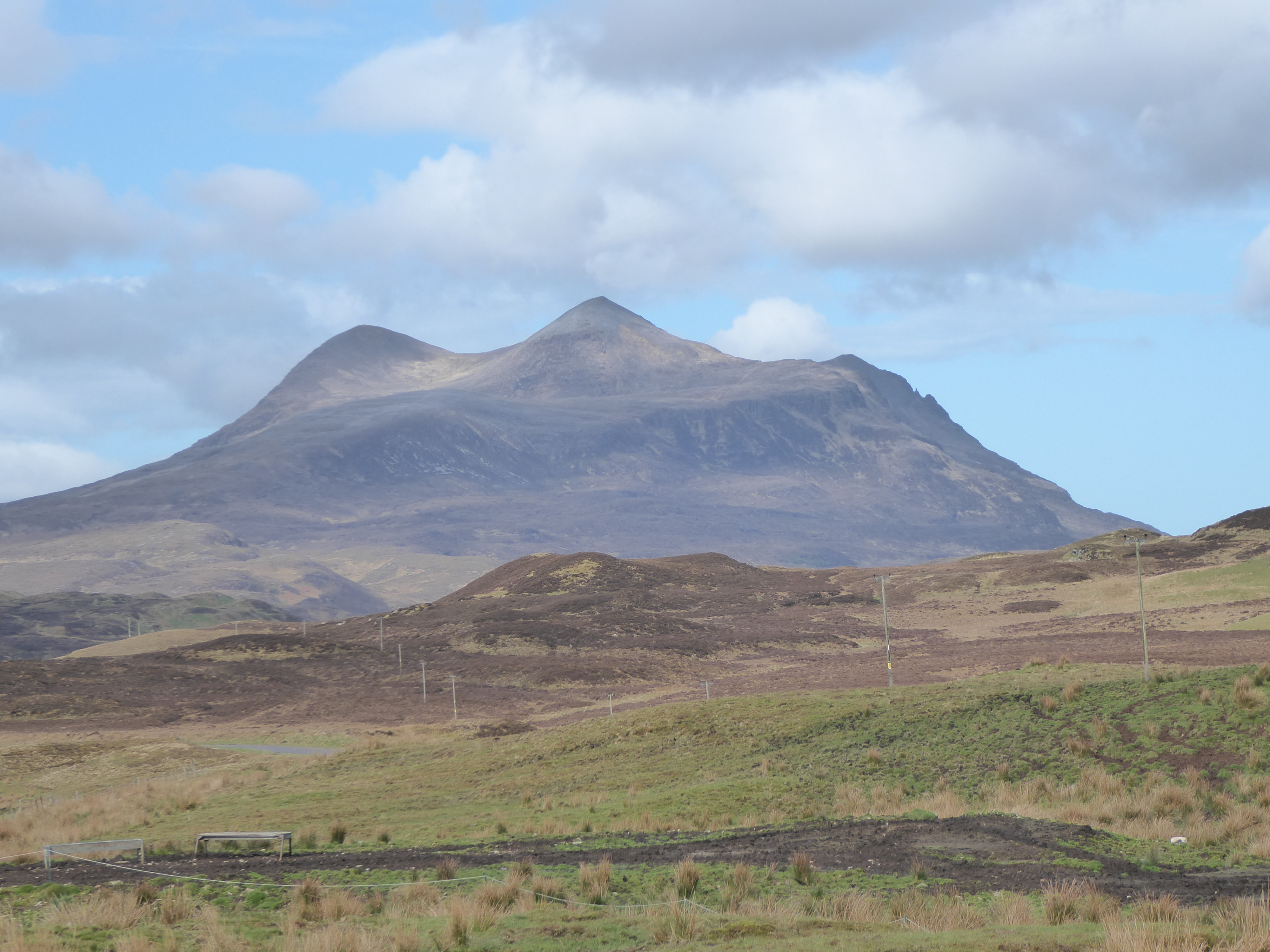
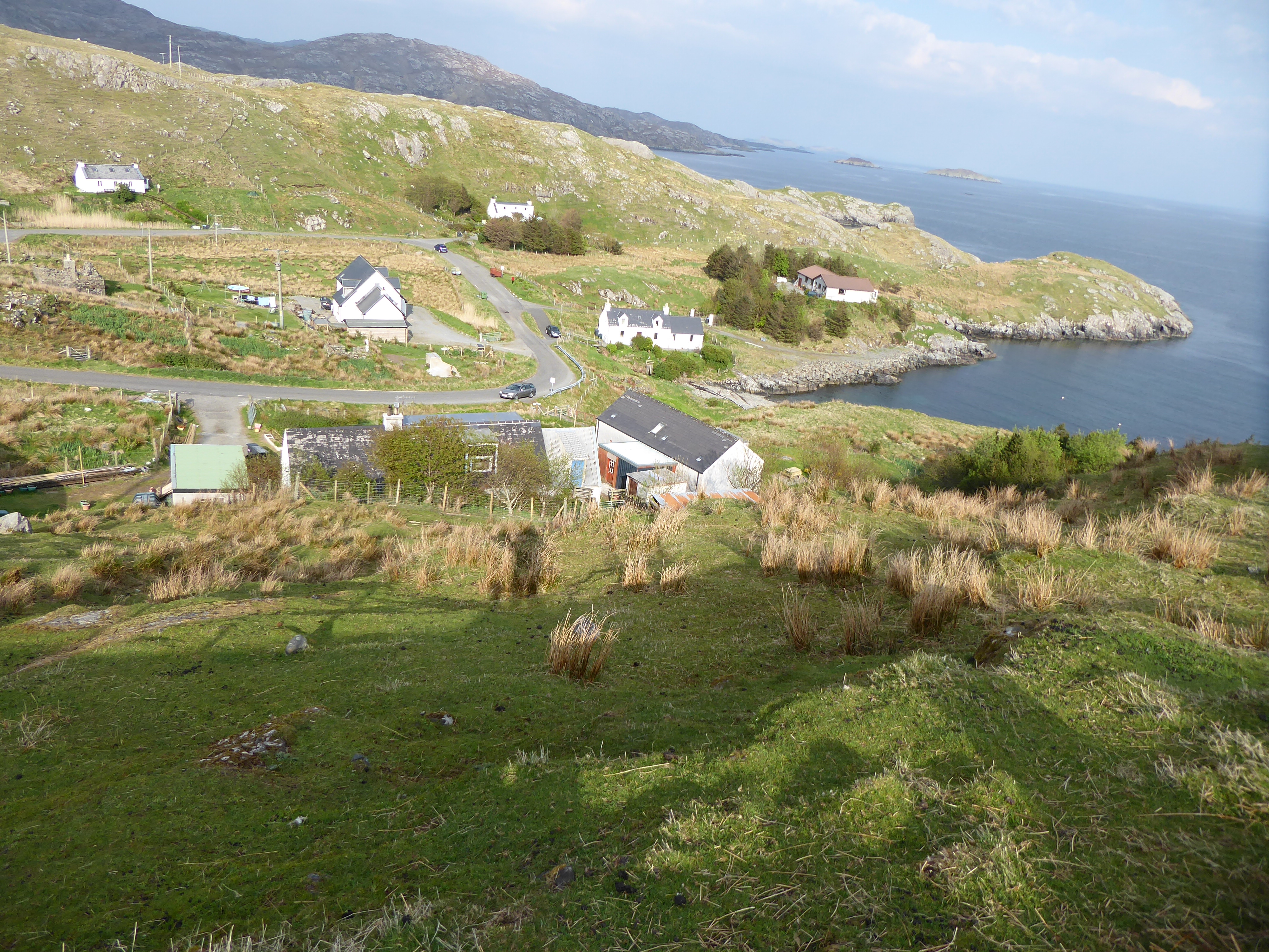
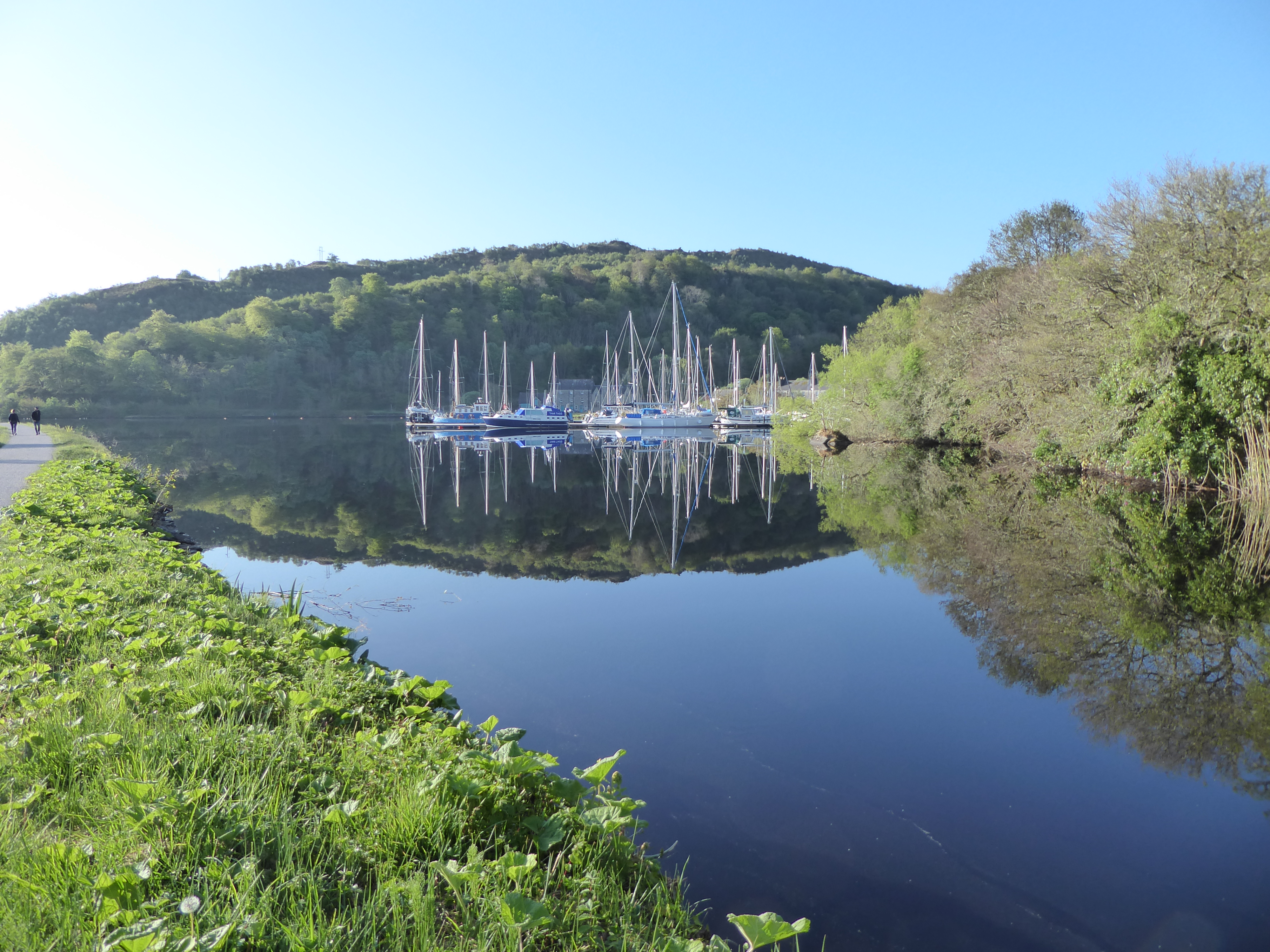
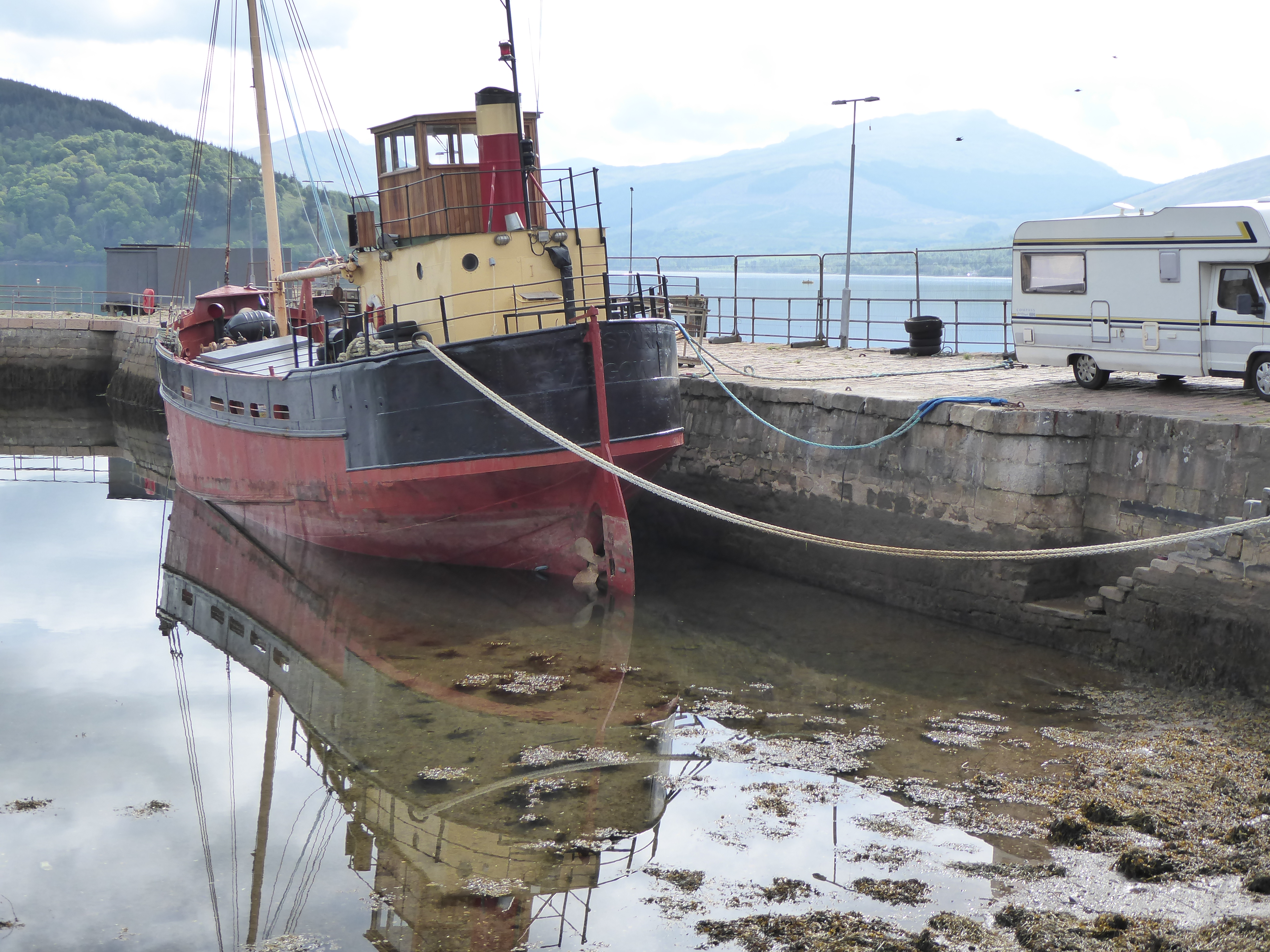
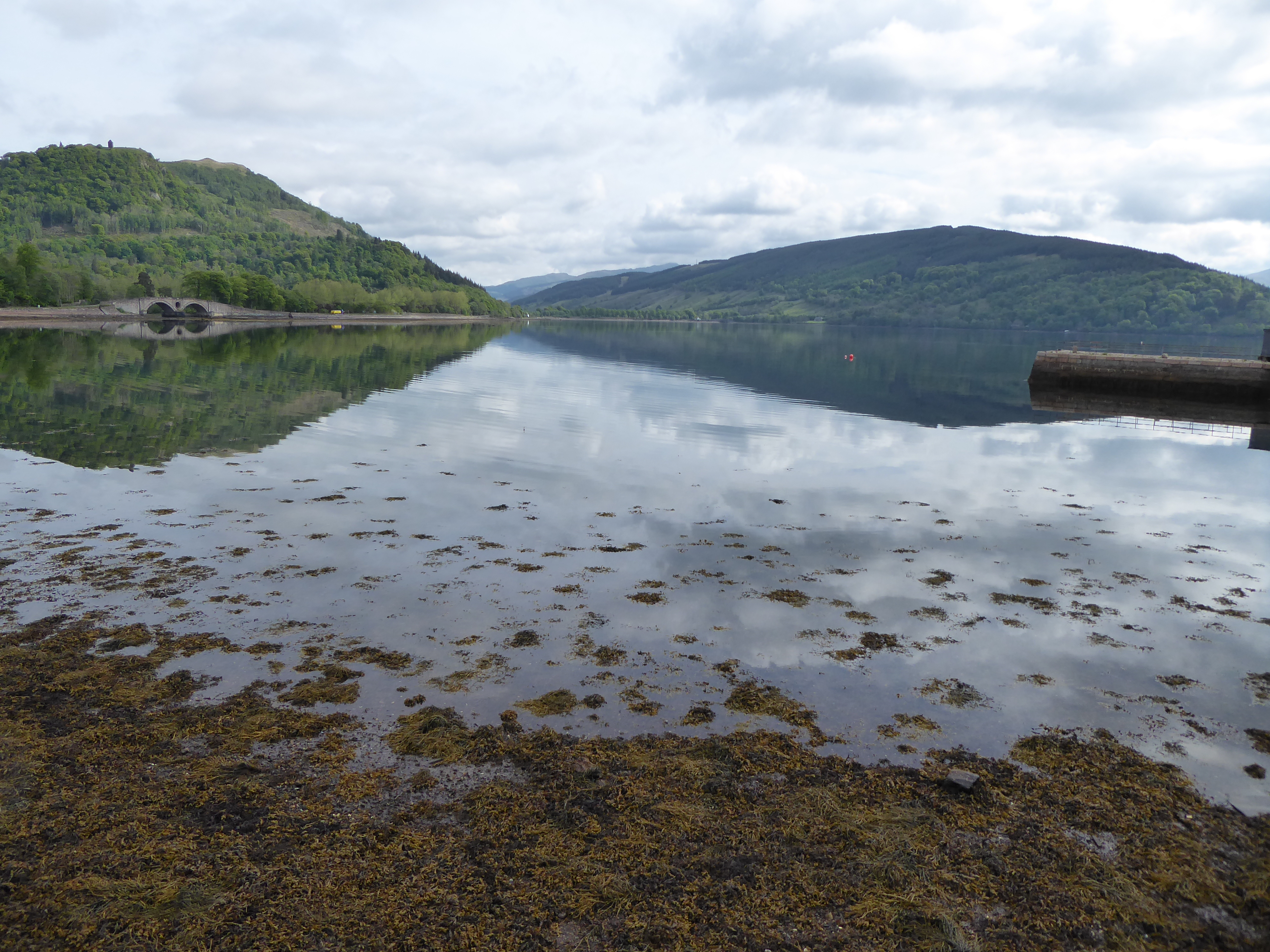
Back to today though – a day of Lochs. We started off with a few miles along Loch Awe then cut across to Loch Fyne (the only significant hill of the day) which we joined at Inverary – a pretty black and white village right on the shore with a turreted ‘castle’.  
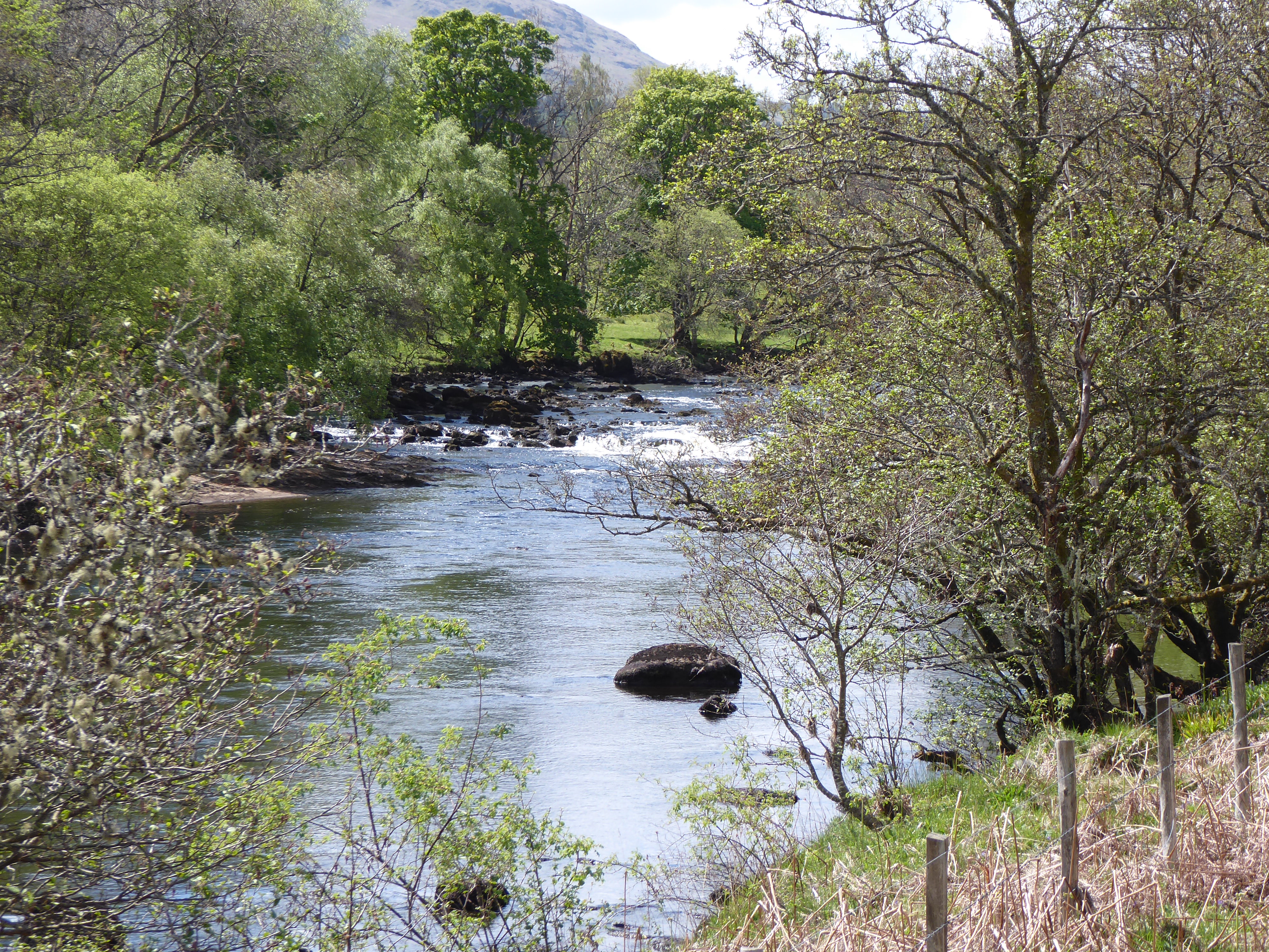
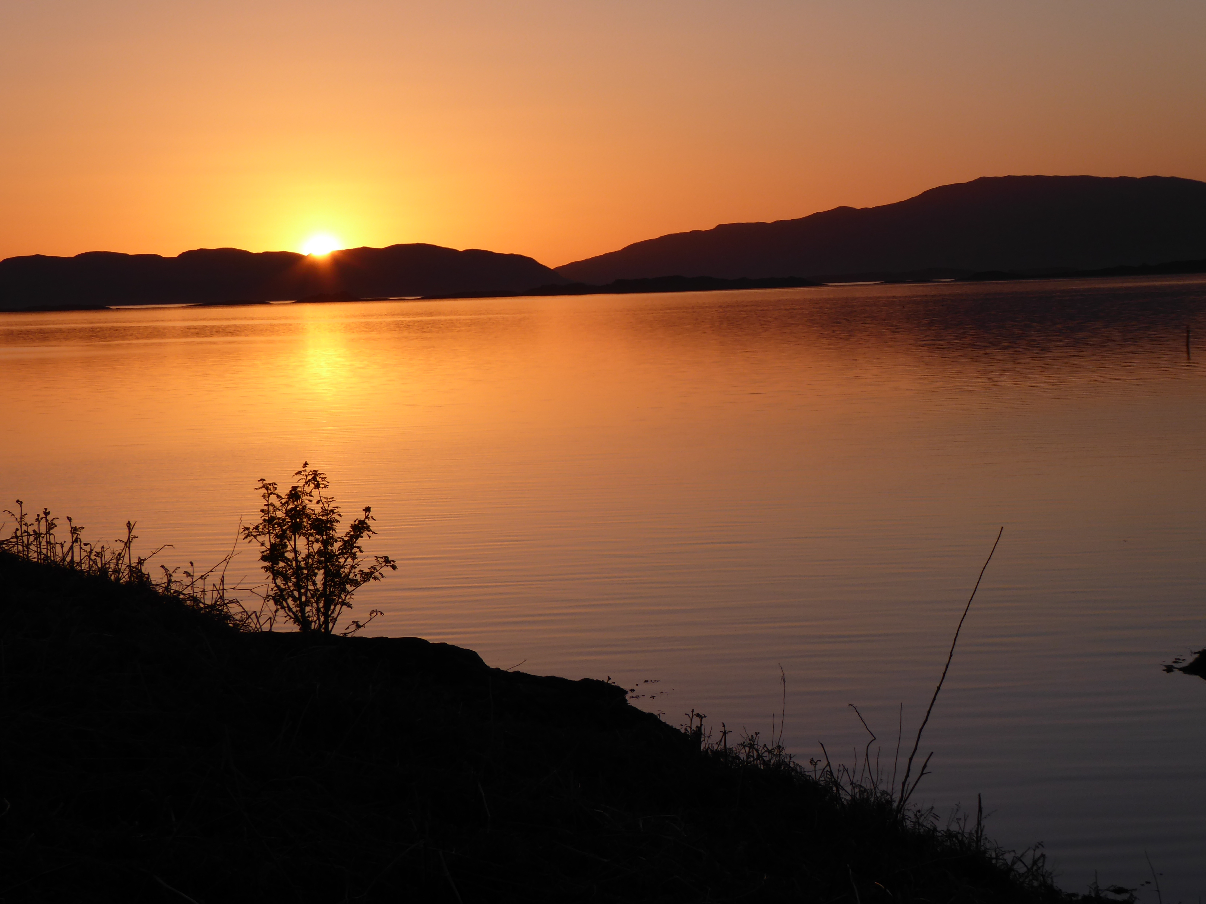
We arrived in sunshine with beautiful reflections on the water again.  We had to do a big loop round the top end of the Loch – about 16 miles to take us back to a point opposite Inverary.  This was a more main road with quite a lot of traffic but it was flat and the road surface was good and we scooted along at a pace. Having just turned the top of the lake there was a ‘bang’ and David’s back tyre was flat – the only puncture so far. There was a handy layby to repair it and we were soon on our way – just another half mile to a good coffee stop at the ‘oldest Inn in Argyll’. 
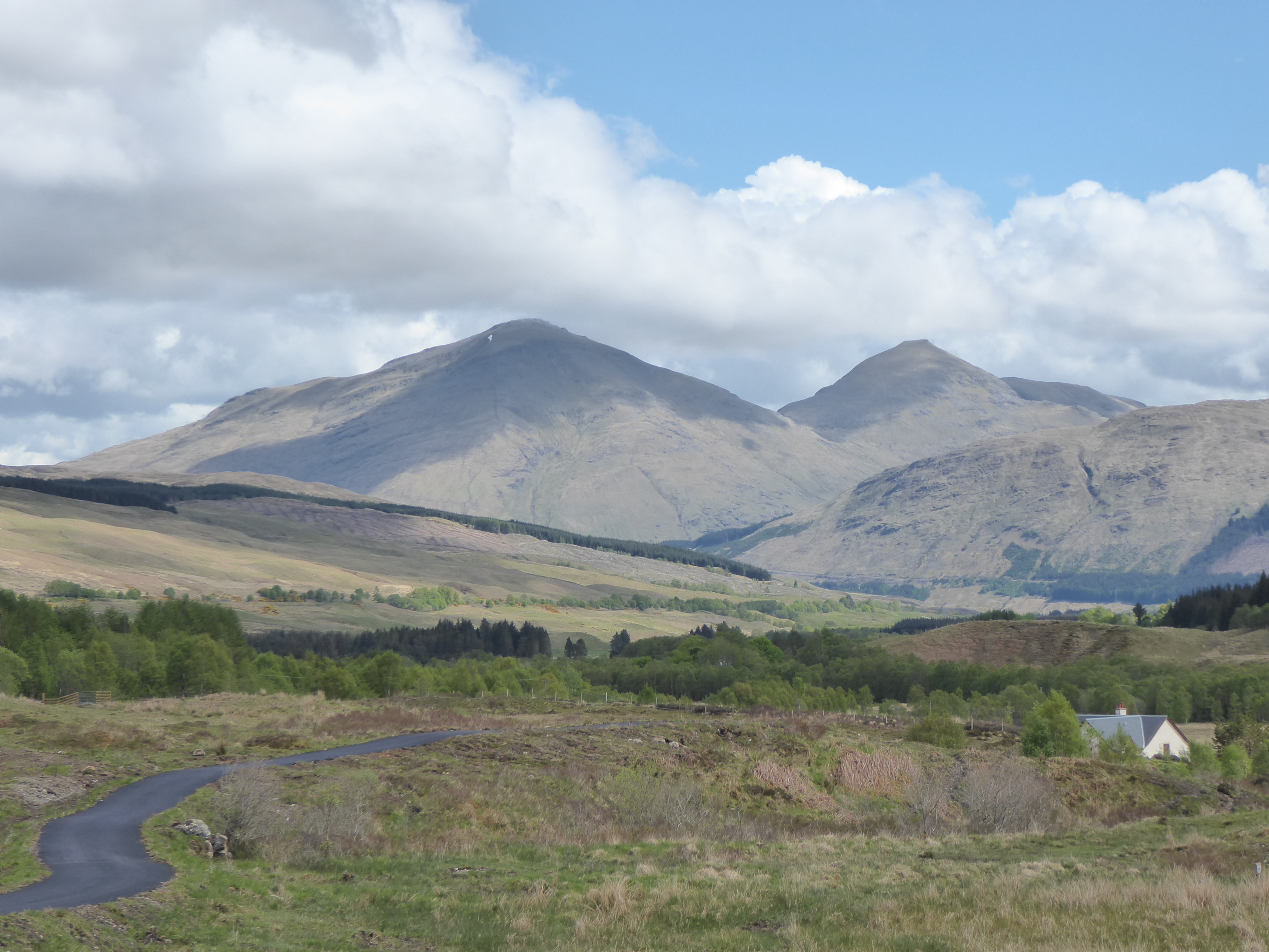
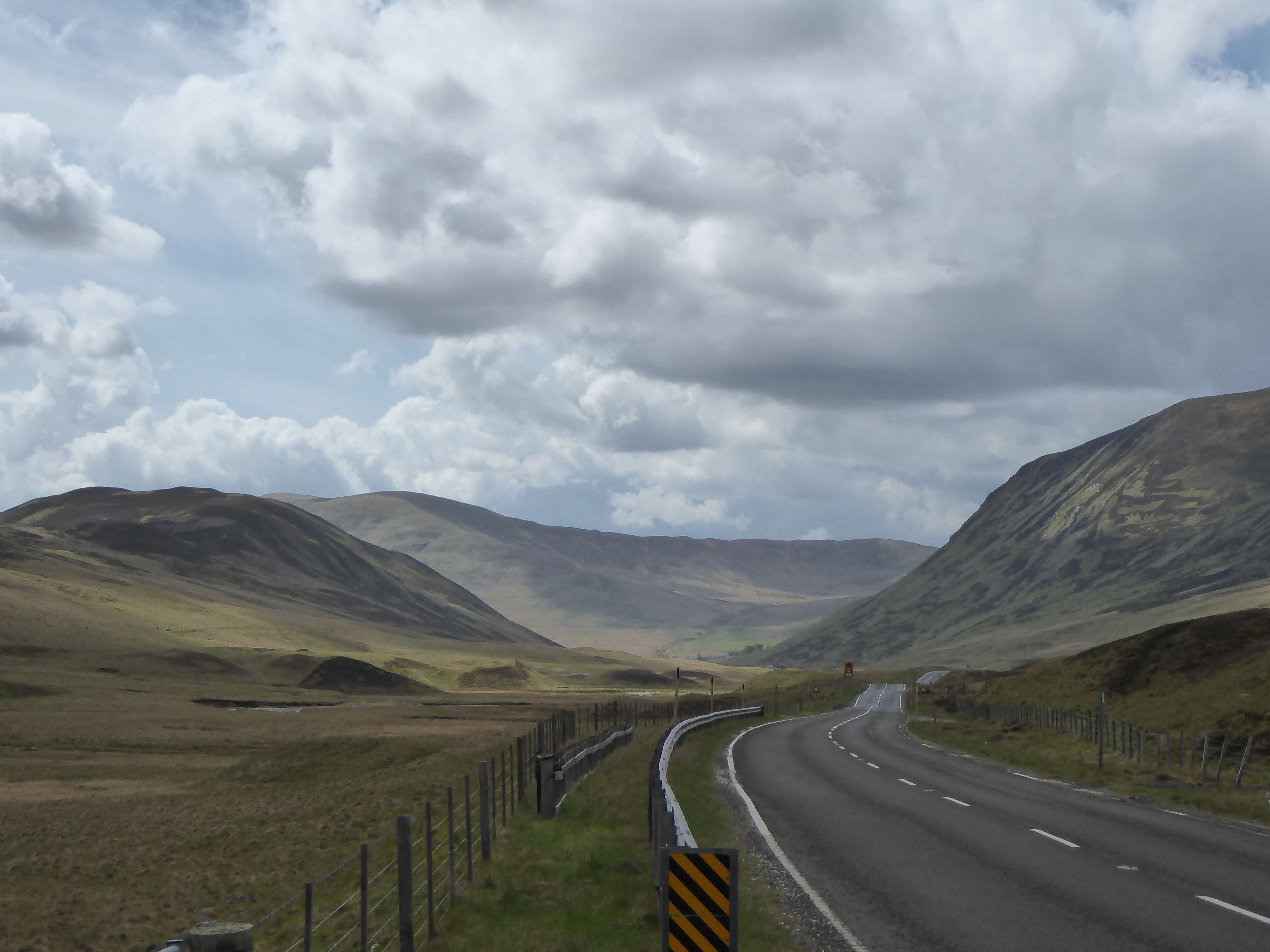
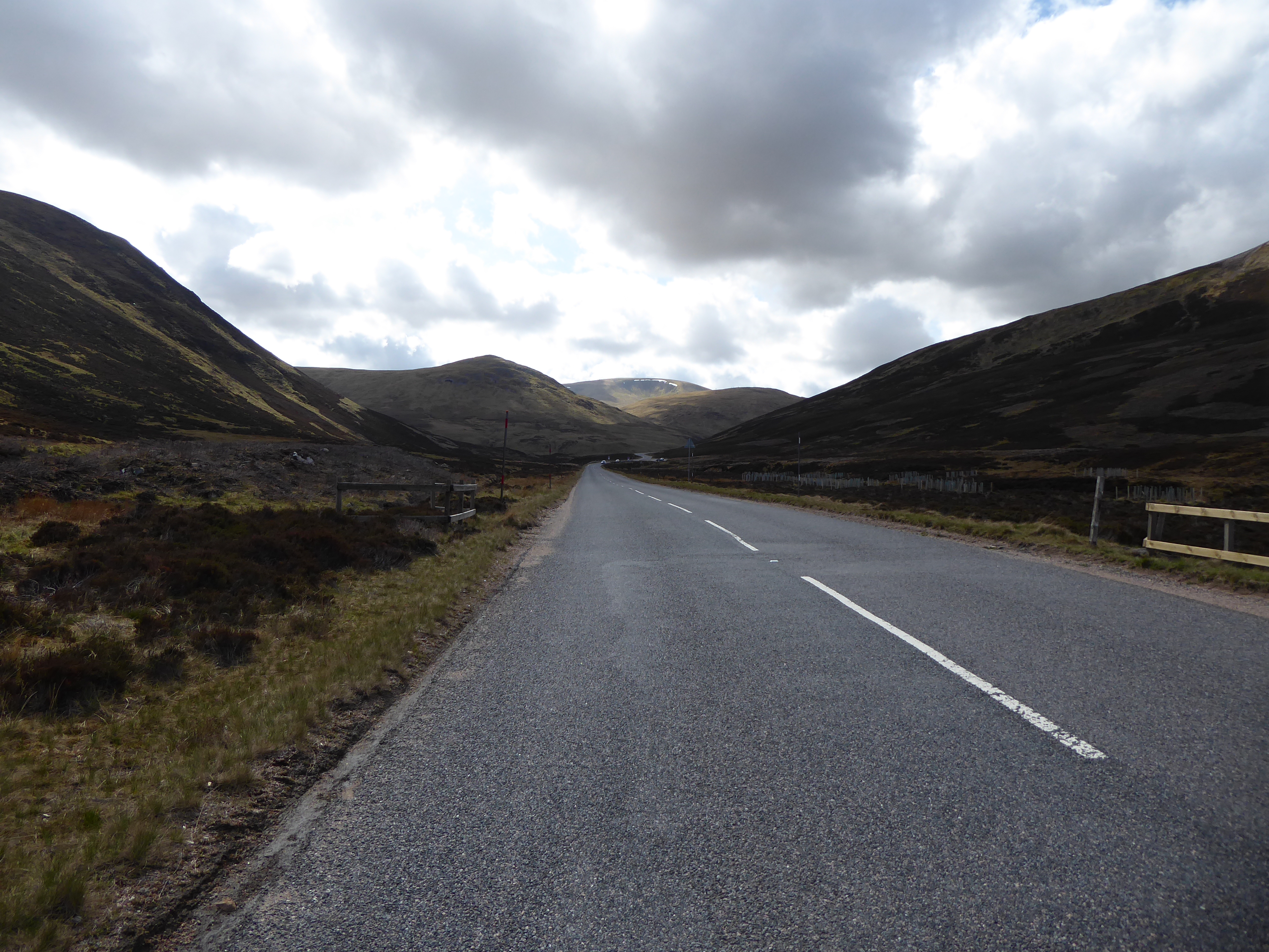
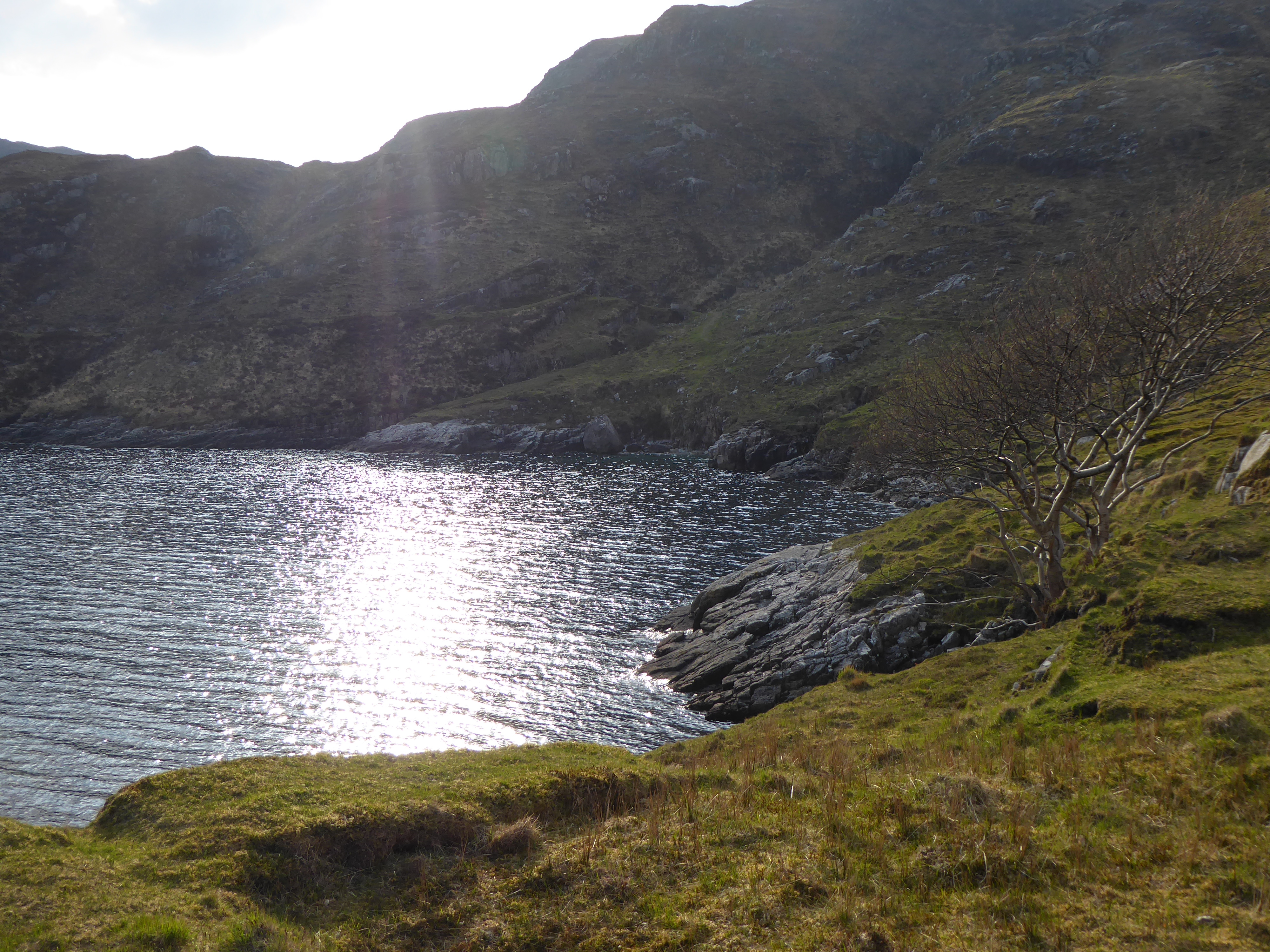
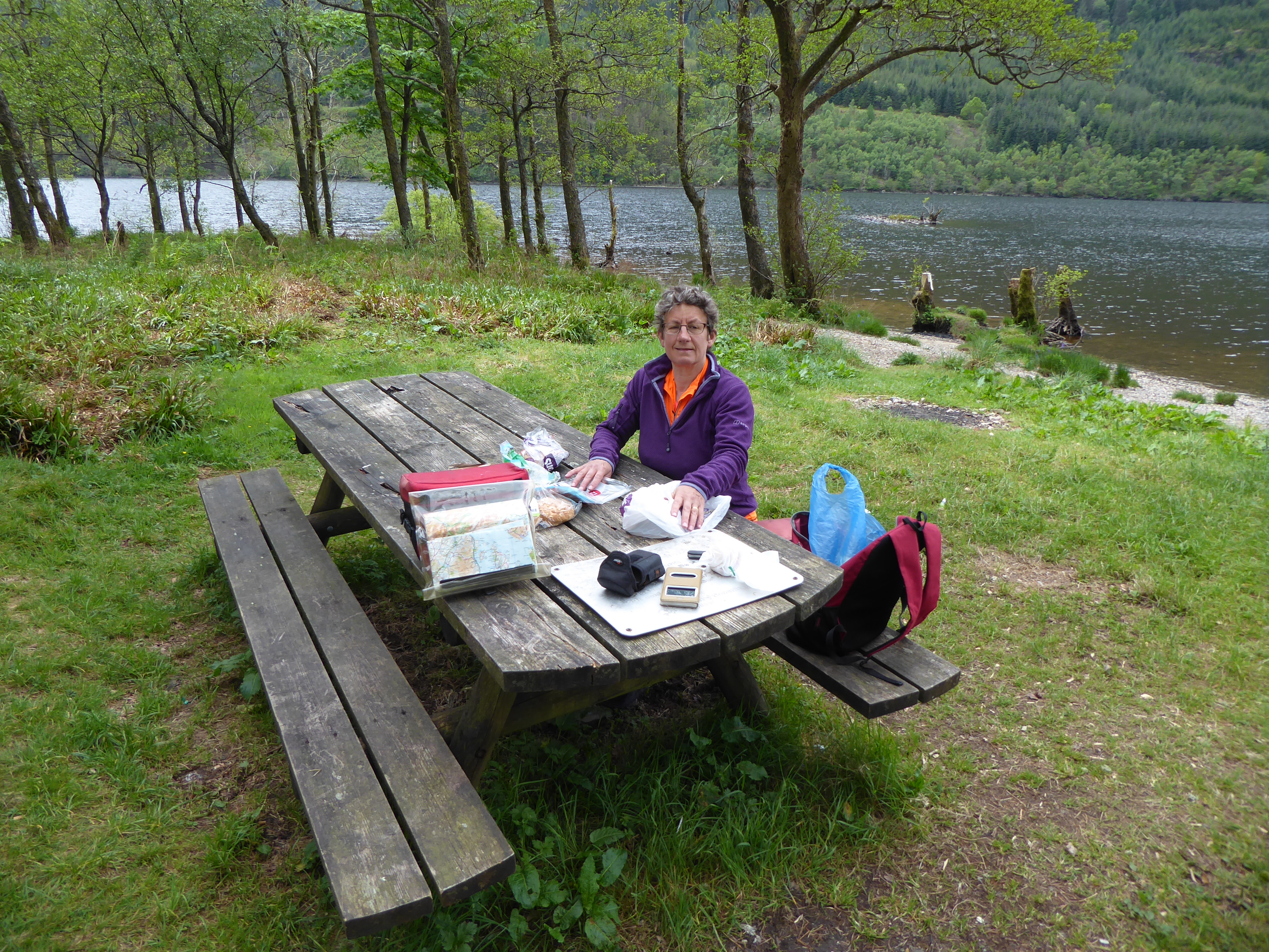
Then a kick in the legs – just after coffe (and before we got warmed up) a 12% hill to climb out of nowhere.  We made it up and then ambled along at a good pace along the shore before cutting over to Loch Eck, where we found a lovely picnic place with views up and down the Loch.  
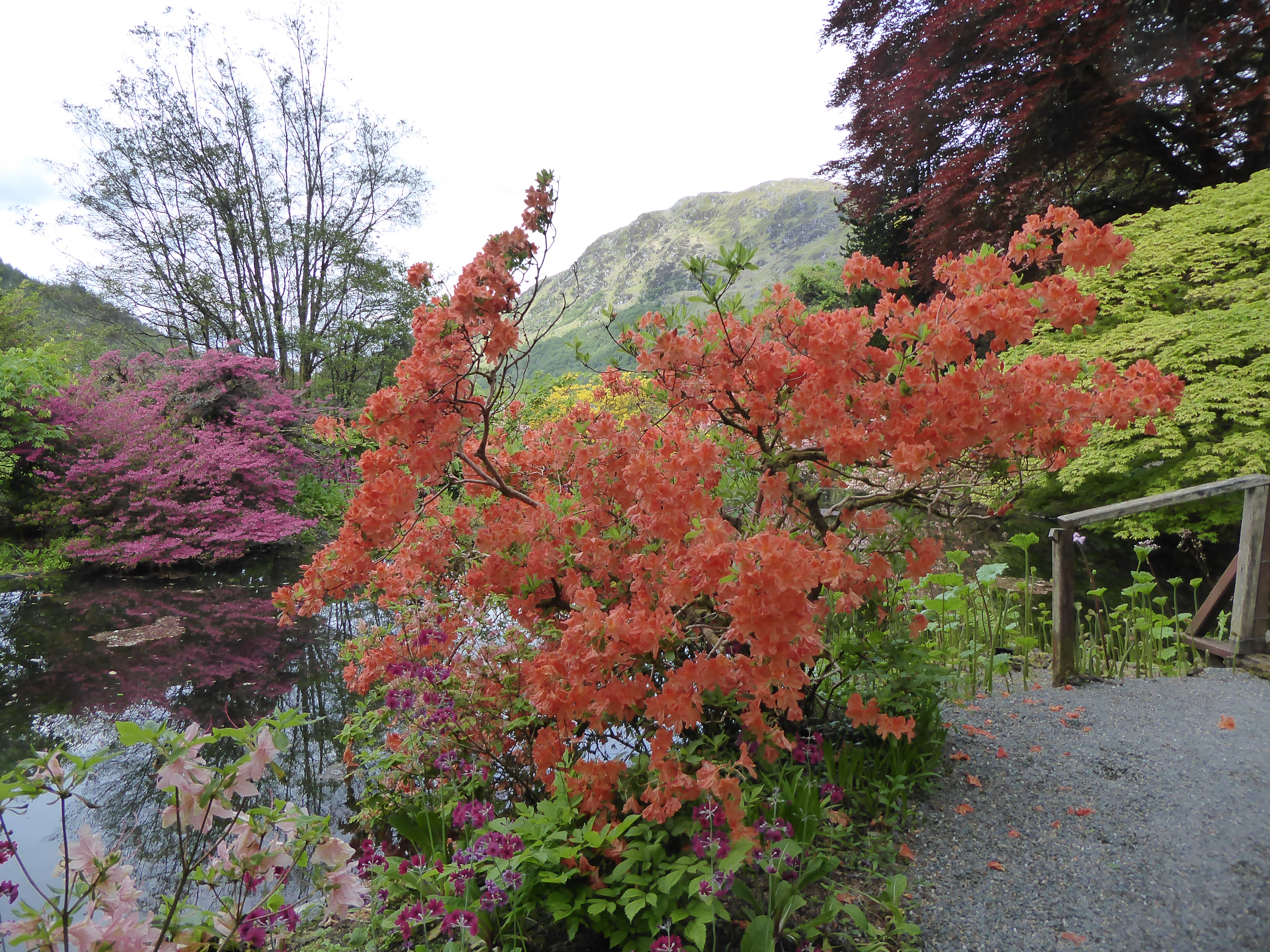
Just a few more miles and we reached Benmore Botanic Gardens just as the sun came out again and our main destination of the day. 
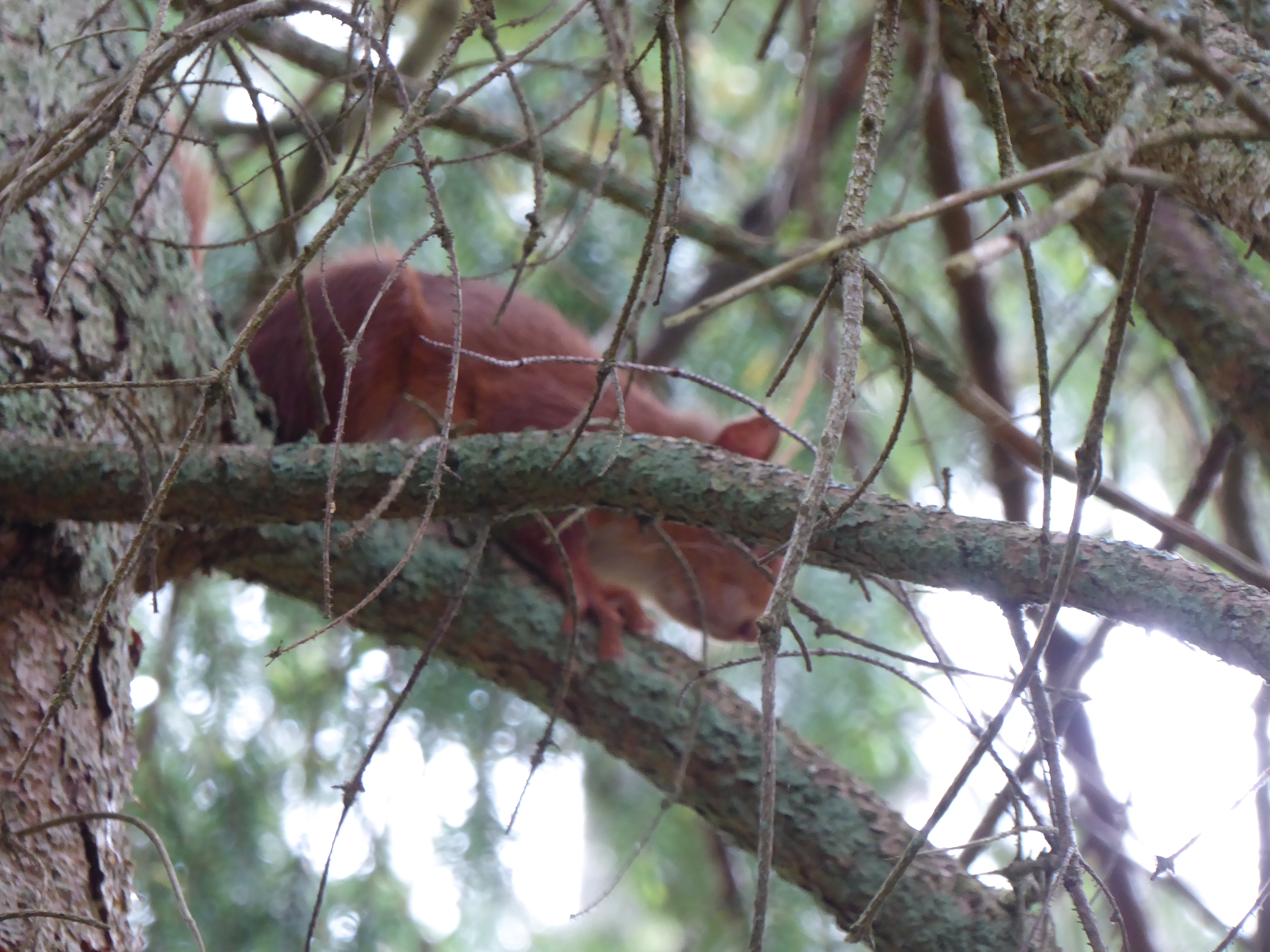
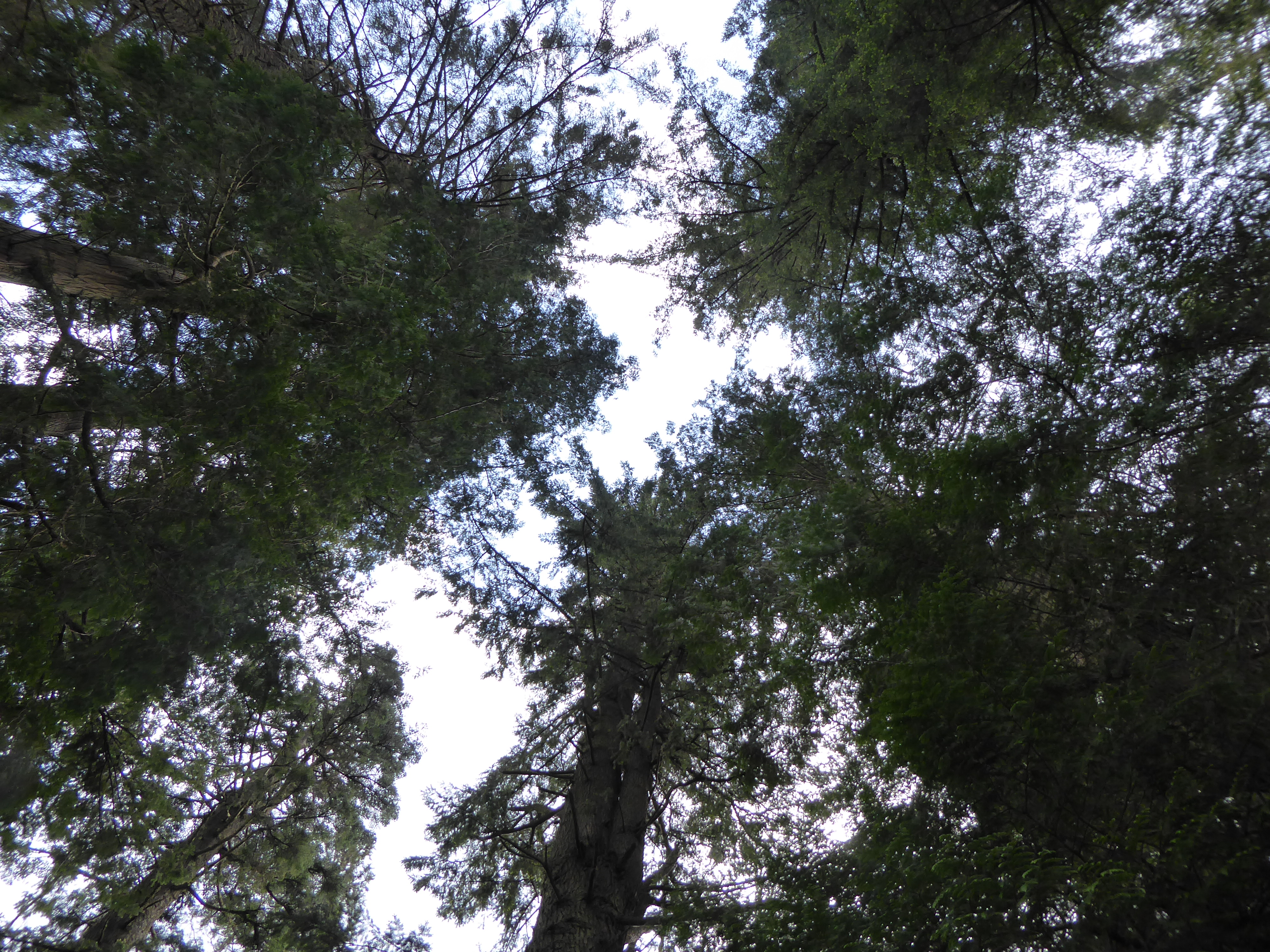
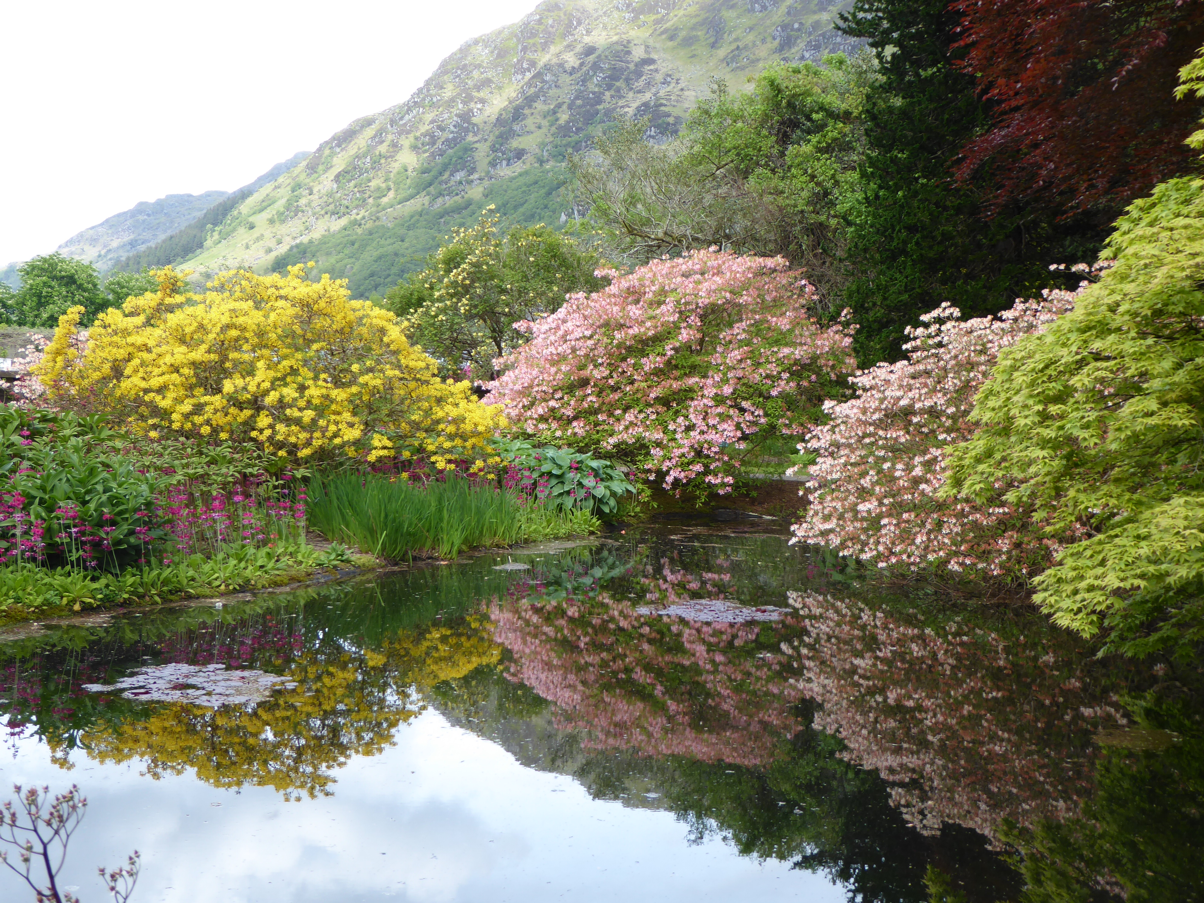
The gardens were beautiful in a fantastic setting.  They have 300 species of rhododendron and azaleas – many of which were in bloom. The more formal gardens at the bottom change into more of an arboretum as it climbs up the hillside with many and varied exotic trees and a great viewpoint at the top. We saw a red squirrel and David even managed to get a photo.  
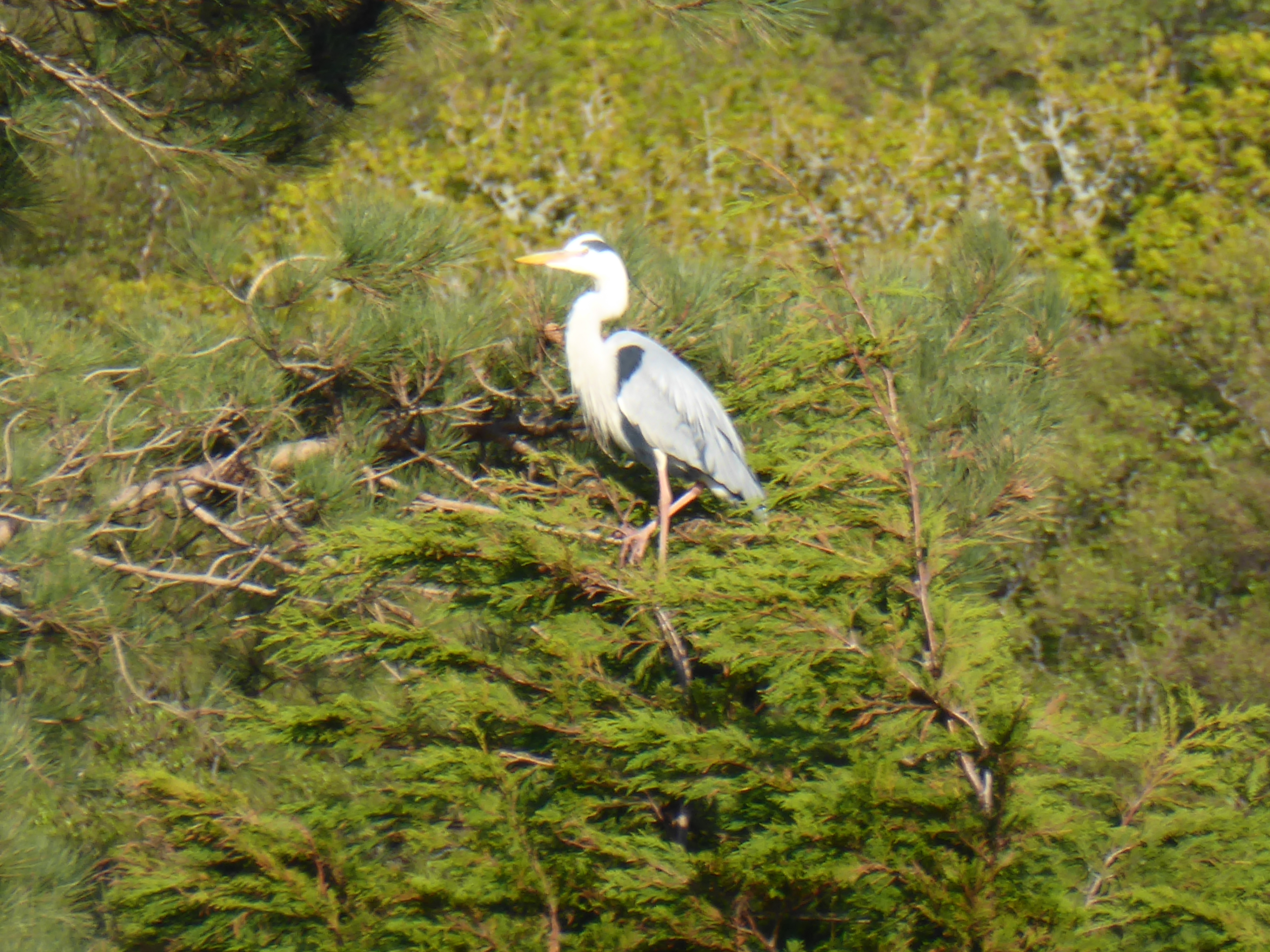
Then we climbed to the top and watched a big white bird of prey (?possibly an osprey) circling up in the thermals in the valley.  This is when the binoculars really come into their own and justify lugging them around Scotland. 

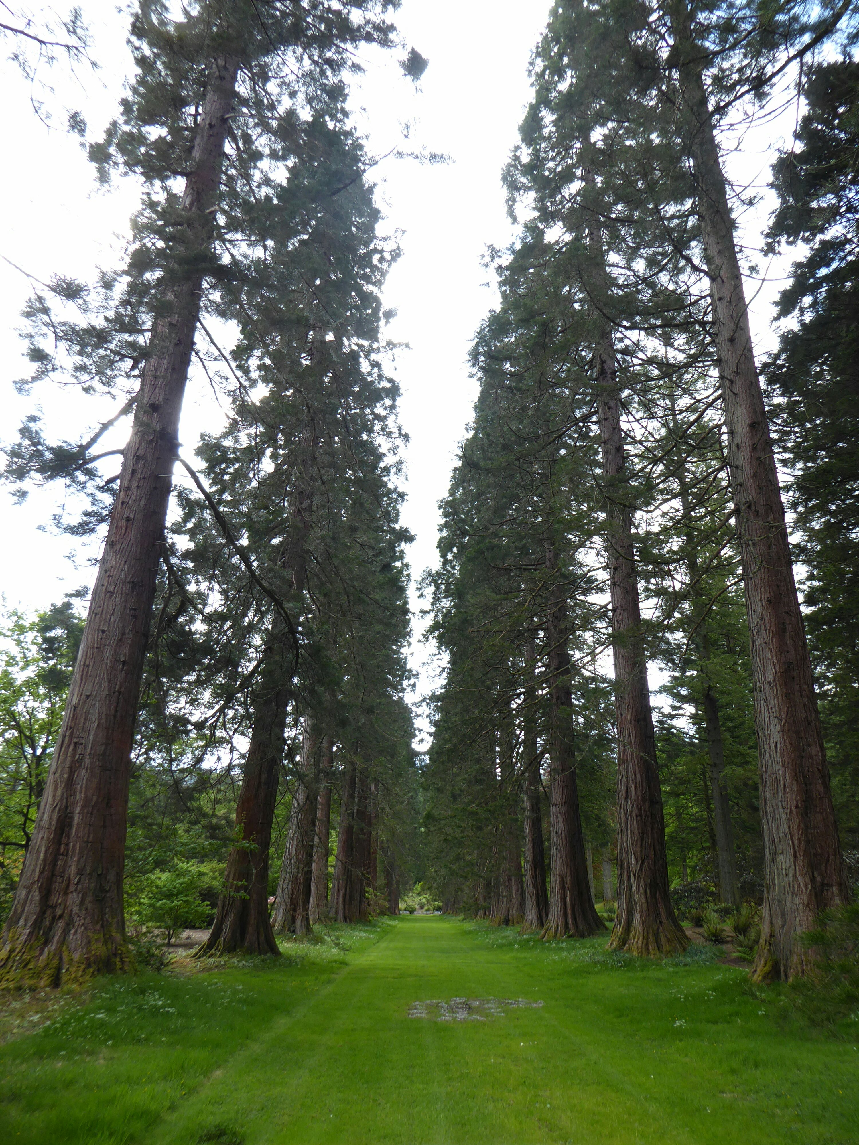
The garden was badly affected by a hurricane in 1988 which resulted in 500 substantial trees in the garden blowing down and a countless number of smaller ones. In many ways a tragedy but they have used the opportunity of the now clearer slopes to plant rare species for conservation.  For example there was a whole ‘Chilean’ area with many species of endangered monkey puzzle trees planted – small now but will look amazing in 20 years time.  There was another area of Bhutanese plants.  There was also an amazing Victorian fernery that had recently been renovated – a combination of stone building and greenhouse full of exotic ferns.


A very enjoyable visit then just a few miles to our airbnb house for the night just outside Dunoon and hot water (once the boiler man had finished complaining about how long it was since the /boiler was last serviced) .  A great day. 

Day 13:  Archan to Dalmally

We said our goodbyes to our wonderful hosts, Charlotte and Adam, as well as Amanda and Natasha who were on their way up to north of Lochinver to search for long lost relatives and evidence of past relatives (who left Scotland for Nova Scotia – presumably in one of the episodes of  Highland clearances – and eventually made their way to New Zealand).  A & N are sisters, great company and stimulated conversation that got the grey cells whizzing around.  A lovely stay in Charlotte and Adam’s house where they made us feel like friends who were being welcomed after only a few minutes.  We did not get going until about 10, which just shows how good the coffee was!

The first part of our ride was along the southern shore of Loch Tay.  We thought – it will be beautiful and reasonably flat – and were right about the first and so, so wrong about the second.   The views were stunning and we played “dodge the rain” successfully all day.  But there were lots of ups and downs – probably about as many of each – as the road meandered along the hillside overlooking the loch.  

After 15 miles we reached the tourist village of Killin (without any evidence that the village lived up to its name).  By this point we had done as much climbing as we had done at he same point – i.e. before coffee – as we had in ascending up to Glenshee to 670m the day before.  The difference was we were still at the level of the loch!  So we stopped at the Capercaillie Cafe and had coffee and scones to console ourselves.  
Then it was a lovely side road for 8 miles along Glen Dochart.  The stunning scenery on both sides of the Glen continued for miles upwards – or so it seemed.  But the quiet road came to an end and so we had to plod along the main A85 for the final 8 miles to Crianlarich.  This was our first stretch on a busy road since being in Scotland so, after hundreds of miles of back roads, we could hardly complain at a few trucks.  But there was, of course a headwind (not as bad as yesterday but still there) and so we kept our heads down and plodded on to the town.  Of course we did complain – it would not be cycling without a few complaints!
Crianlarich is where the main road from Glasgow going north meets the main road from Inverness going west.  It is a junction sort of place, but lives under the shadow of the magnificent Ben More and was full of walkers (mostly in their 60s or older).  The youngsters are probably limited by school holidays but the place was full of the walking variety of coffin cheaters (see earlier in this trip for an explanation) A quick lunch and we were on the way up  always up – to Tyndrum.  The road was busy but the wind was with us going north and so we covered the 5 miles very quickly.  At one point we strayed onto a bike path but it was clearly meant for mountain bikers more than us roadies, and so we re-emerged onto the road.  
Then we had a glorious descent for 11 miles along Glen Lochy to Dalmally, dropping from 275m to 40m along the way.  Largest chain ring, ambling along and even the opposing wind was more than compensated for by the gradient.  The views were fantastic as the pictures show and then to the B & B for tea. 

Day 12,  Braemar to Archan.  66 miles. 1100m climbing.

We did not rush this morning as we were expecting an easier day. We had 2 days blog to catch up in the comfortable hostel sitting room and had our breakfast in the enormous hostel kitchen.  We woke to sunshine but our hopes that the wind will have blown itself out were unfounded.   As soon as we set off we were straight into headwind. We should have had a few miles of very gentle climb before turning the corner up to  the major climb of the day to Cairnwell Pass and the Glenshee ski area.  The valley was beautiful but the headwind vicious. Again David headed the wind and I tucked in behind as close as possible. At one point I decided I really should take my turn to head the wind, but that lasted only about a minute as I was almost stationary when it the wind gusted!

We plodded on and up, Making more progress when we were sometimes a bit more sheltered from the wind by the turn of a corner – but always knowing as soon as we turned again the wind would buffet our ears so much you could not hear cars coming behind – luckily there were few.  The fantastic scenery sustained us and then the site of the summit and a cafe where we pulled in  only 8 miles but it had taken us a hour and a half but we were at the highest road pass in the UK at 670m. 

After a reviving coffee and a rest we layered up for the down hill.  It was still a couple of hundred meters ride along the almost flat to the true summit – and after 100m we were putting on more layers and full gloves as the gale whistled over the top.  Then 2 miles straight down hill at 13%  – and I did not have to put the brakes on once as the wind gave us a very controlled descent!  Unlike yesterday the wind was head on and not buffeting us around so it was not too scary. The beautiful Glenshee valley then flattened to a gradual down hill with the wind scale downgraded to ‘windy’ rather than gale force and we could enjoy the scenery and birdlife as we meandered down, the high moorland merging into green farmland.
Eventually we turned out of the valley down a small side road to Pitlochry where we picnicked on someone’s convenient garden wall, in a sheltered spot.  Then on to the next ‘main road’ but again with hardly any cars.  We followed a very pretty river upstream and again the scenery quickly transitioned from farmland to moorland at about 1000ft.  We had been pleased at how we managed the big morning climb but that and the wind had taken it out of us and the climb up and over to Pitlochry, although not very high had my legs feeling very tired.  But then it was down, down, down to Pitlochry to below 100m. Time for another tea and cake stop in Pitlochry  a pleasant town invented in Victorian times when they put the railway in as a tourist destination. 
The final stage to Loch Tay took us alongside the Tummel river.  The sun was still shining and the wind now down graded to ‘breezy’, although tired legs still felt every little up and down. The banks were covered in blue bells and we were occasionally lasted with wild garlic.  We passed some enormous houses, built by the rich for their Scottish playground for hunting, shooting and fishing.  One last hill then down to Loch Tay and our airbnb with Charlotte and Adam, great hosts in a lovely old school house which we shared also with 2 sisters who were just starting a road trip to find their ancestors in Assynt, very near to where we were staying in Inchnadampf.  Crashed into bed hoping for a windless day tomorrow!

Day 11:  Moy to Braemar:  Summits, headwinds and views

Every cycling trip has a day which is “the big one”.  This was our big one – 72 miles and 1600m of climbing, topped off by the fiercest head wind I can ever recall cycling against for many years.  But it was also memorable in the best ways and for so many reasons. 
We started by being provided with breakfast by Nick and Charlotte who continued to be fantastic hosts.  Charlotte was off to work and Nick was luxuriating in a day without 10 minute appointments to see patients in his role as a GP.  We had scrambled eggs from their own chickens and chatted over tea.  When we could not put it off any longer, we said our goodbyes and left.

The first few miles followed cycle route 7.  Even though the route followed the A9, we never needed to share space with the lorries.  It was a mixture of side-roads and bike-path along the main road, gently undulating.  After about 8 miles we got to the “Slochd summit” at 405m.  Given that we had started at 270m, it was not really fair to call it a summit but it might get prizes for being the most unpronounceable place we have passed so far!  
We then descended to Cartbridge.  It did not feel that we had put in sufficient miles to justify a coffee stop so we carried along the valley to Grantown, aided by a strong South-Easterly wind.  We could see the larger hills of the Cairngorms out to the south of us, looming up in the morning light.  

We reached Grantown after 23 miles, which is a tidy, chic, Victorian feeling place.  Stone buildings dominate with the slight feel of the type of Scottishness based on country sports for the English elite which was either re-discovered or invented by the Victorians (depending on your views).  But they built fine buildings and developed a sustainable tourist industry for this remote area to supplement crofting, so it was not all bad (even if they invented lots of traditions at the same time).  We stopped at an excellent coffee shop for coffee and cake, and looked at the map for the route ahead.
My route finding skills departed me as, first, we cycling down the main street and failed to spot the Co-Op (so disguised by heritage that we missed it) and then took the wrong road out of town.  So we ended up cycling up and down the same road 4 times, looking like complete idiots.  Eventually we found the right road and dropped down to the river Spey before starting the first major climb of the day, over a 430m pass to Tomintoul.  The landscape was big – grouse moors extending for miles either side – and the odd patch of snow clinging on from the winter.  It was steep but not too bad and we plodded up.  The wind helped at times and hindered at others.  It is hard to speak of the direction of a wind in the mountains because it all depends on the topography.  It whistles around the shapes of the mountains and there are times when one feel’s it should be against us but is in our favour and, regrettable far more common, occasions when it is against us and instinctively we feel it should be a side wind or in our favour.  But it is what it is, and we just had to deal with it.
The descent from the pass was as difficult as the climb.  A 20 to 30 mph side wind threw the bikes around if we went too fast, so it was brakes on all the way down.  Then we came to the drop to Bridge of Brown, which warned of a 20% slope.  We managed it and then climbed at nearly the same gradient.  Eventually we reached Tomintoul.  This proclaimed itself to he the highest village in the UK at 345m, and also was influenced by the Sassenach pound, as it had a large hotel and a series of twee stone cottages.  We lunched in the main square and noted the wind seemed to be increasing in strength – if that was possible.  Then we re-joined the A939 to inch our way up the valley to make the climb to the Lecht ski resort.  The brown heather moorland stretched out on either side, the traffic was quiet and, although it was overcast, the rain stayed off.  The combination of the slope and the wind made it slow progress but eventually we turned a corner and saw the buildings of the ski-resort high above us.  There were a series of “arrows” on our map which indicated a steep slope.  As a rule of thumb we can manage a single arrow but have to admit defeat with a double arrow.  We had to stop and push at one point where the combination of a strong wind against us and the road, which felt nearly vertical (probably only 20%), defeated us.  But the top got nearer and nearer and eventually we made it.

There is something depressing about all ski resorts without snow.  The snow covers the ground and makes ugly buildings look less ugly, and the sight of happy skiers justifies the intrusion of large buildings on remote slopes.  But empty ski resorts and stationary ski lifts in the summer are a blot on the mountain landscape in the alps and are, even more so, in Scotland.  It was, of course, closed!  We could not even get a cup of tea to celebrate climbing to 2090ft (that is about 640m)!  Then, a few minutes later, we topped another rise, lost the sight of the resort and the Cairngorms spread themselves out before us looking fantastic.  
The descent was hairy – strong side winds made it tricky but we managed it, as well as a steep descent down to the interestingly named, Cock Bridge.  The, joy or joys, we had the wind in our favour as we sped down a gentle hill towards Colnabaichin (properly spelt I assure you but equally improperly pronounced).  Before then a tea and cake stop emerged like a mirage.  “Two mugs of tea please” we said.  “You look like you need cake too came the response” from the young chap who in charge of the mirage. 

Refreshed we tackled the next climb which was “only” another 150m, but did have an arrow which seemed to extend for a long section.  By now our legs were starting to answer back.  There was a famous Dutch Cyclist whose catch phrase was “shut up legs”, as he answered back as his legs complained. We knew a little of what he felt.  But the scenery was again stunning and we then had a lovely descent towards Ballater.  But the road to our destination, Braemar, turned off before reaching Ballater and so we climbed our final 150m climb of the day.  By this time we were directly into the  wind and it was unrelenting.  Sorry to go on about the blessed wind so much but a 25 mph headwind makes going on the flat feel like going seriously uphill.  
Going up a 13% slope with a 25 mph headwind is a young person’s game.  It is not recommended for normally sedentary workers in their 50s and we felt the folly of our choices.  But the hostel was in Braemar and we had to get over the hill to get there.   The compensation was more remote grouse moor, lovely shaped hills and the feeling of remoteness.

The descent took us into trees and so the wind dropped, and it led us to Balmoral Castle.  This was a key part of the Victorian recreation of the myth of a romantic Scotland, and work started on the castle in 1852.  Having not had an invitation to drop in for tea (no doubt it got lost in the post) we did not drop in but turned East to battle up the Dee Valley for the last 9 miles to Braemar.  We made it – not without a few stops and probably did not appreciate the beauties of late afternoon sun in the valley.  

We arrived at 6.30pm, having been on the bikes since 8.15am with a series of relatively short stops, having covered 72 miles and climbed 1640m.  We normally think 1000m shows a “big hill” day and aim to limit ourselves to about 60 miles.
 It was an astonishing day even if it left us without a great deal of conversation for each other at dinner.  The body is an amazing machine.  We had started the trip out of condition due to injuries but had build up fitness through the previous week.  The only question was how we would feel facing another day on the bikes tomorrow!

​Day 10:  Tain to Moy : 58 miles

We had been treated to a wonderful sunset – the yellows, oranges, reds and purples reflected in the mud flats of the Dornoch Firth at low tide.  This morning though we woke to drizzle and cloud. We were planning a late start at we were not wanting to arrive at our destination before 7 so we had a lazy breakfast then pedalled (without panniers) the couple of miles to the Glenmorangie distillery for a guided tour.  The first thing we learnt was that we southerners had been pronouncing the famous whiskey name incorrectly all these years.  Its Glen – morangie, rhyming with orangie!  We set off with a mixed international group round the distillery process.  

The ‘malt’ of malt whiskey is the process of allowing the barley to start germinating before drying (this process is now done off site), it is then ground coarsely to make ‘grist’ (presumably the source of the saying ‘grist to the mill’. The grist is ‘mashed’ then the outflow is stirred with the yeast – all in gleaming vats and very technically regulated.  Then the actual distilling (they proudly have the tallest stills in Scotland) and finally the aging in oak casks – this is in ex bourbon casks sent over from the USA where regulation only allows them to be used once).  The distillers are called the ‘men of Tain’ and to date there have been no ‘women of Tain’.  In all the distillery only employs 23 people but it exports this symbol of Scotland all over the world. Many of our fellow tour folk were off to their next distillery tour but I think seeing the process once was enough!  Having sipped our small dram at the end of the tour (11am a bit early for whiskey) we cycled back through the drizzle and packed up for departure. 
The rain had stopped by the time we left but there was a strong wind but this eased as we took the side road inland to avoid the manic A9.  This pleasant road took us through woods and fields, showcasing the fertile land with it’s relatively temperate climate.  A long gentle up hill gave us views over the Cromarty Firth followed by a more precipitous descent into Dingwall.  There we found a bike shop to pump up our tyres with a hand pump and a pleasant picnic spot on the shores of the firth – with our first few midges.

There was no choice but main roads out of DIngwall, although they had bike paths alongside it was still noisy and not particularly pleasant.  After a while we were able to branch off and picked up a beautiful little road right alongside Beauly Firth with flower strewn verges , completely flat road and the wind behind!  This took us right to the bridge over into Inverness.
After a reviving cup of tea we picked out way of Inverness with David’s usual excellent rout finding (in and out of cities being the hardest navigation when cycling).  The formal bike route takes a big loop to avoid the A9 but we weren’t in the mood for that so we took a route where we braved 3 miles on the dual carriageway – no hard shoulder or even ribbon to cycle on – but it was nearly all down hill and not too busy so it was only a short stretch and we lived to fight another day as we turned off onto the road to Moy.  Just as we were starting up the hill we heard voices calling us.  It was Charlotte and Nick, our Warmshowers hosts for the night. After the briefest of hesitations they packed our panniers into their van and cycled the last hill weight free – felt as if we were flying up.
For those who are new to our blog ‘Warmshowers’ is a touring cyclists website offering free accommodation, in return offering your home to passing cyclists.  It is where we have had our most enjoyable stays over the years and this evening was one of them.  Charlotte and Nick are both doctors and recently moved to the area for Charlotte to start her Urology rotation (‘plumbing specialist in Charlotte’s words). They are renting an amazing farmhouse high on the moors.  By one of the quirks of coincidence they know our very good friends in Bewdley, John and Linda Iles – Charlotte’s parents being very old friends of theirs.  In fact John and Linda are attending their wedding in a few weeks time. Their hospitality was wonderful, they cooked us a superb meal and we had enjoyable conversation until eyelids drooped and it was time for bed.  A memorable stay and we wish them all the best for their wedding and their future together.

Day 9:  Inchnadamph to Tain:  55 miles and a following wind

There are bad days, moderate days, memorable days and very memorable days, and this was the  last of those categories.  

We woke in our second floor little room and packed before breakfast.  The diligent Imperial College students were finishing their work before starting on the second week of their field trip in Glencoe.  They worked til 9pm at night, and later for some, having been out on the fells all day.  Such diligence and politeness was never noted amongst students in my day but they were astounding.  

We set off by 9 with the weather overcast and had a slight headwind for the 60m climb up to the loch.  This retraced our steps and so meant climbing the 4 mile downhill section of the A837 that we had so appreciated 36 hours before.  

At Ledmore junction we left the Ullapool road and continued on the A837 in a south-easterly direction.  The wind was with us and the road was broadly flat.  We ambled along the single track road which had virtually no traffic at all.  The scenery was breathtakingly beautiful and it all felt very remote.
After about 16 miles we got to the watershed between the East and West Coasts and, of course, descended.  It was one of those lovely descents, following the River Oykel valley, which is steep enough to pick up speed without pedalling, but never made the bike run so fast that we needed to brake.  After about 3 miles we got to Oykel Bridge, where there was (by complete coincidence) the Oykel Bridge Hotel.  

It served great coffee and we chatted to a Mancunian retiree who was walking the Cape Wrath trail and a younger Dutchman who was doing the same, but having a day off after  continuous days walking.  The trail runs from Fort William to Cape Wrath in the North East corner of Scotland.  There is no “route” as such and often no paths on the trail most people follow.  For details see https://www.walkhighlands.co.uk/cape-wrath-trail.shtml and be impressed with these hardy walkers, some of whom are well into retirement.  We chatted and then said our goodbyes, only to find the nice Dutchman, whose name we never got, insisted on paying for our coffee.  Thank you kind sir!
Then it was up a bit and down a bit and up a bit more as we followed the valley towards the sea.  We bypassed “Lairg which had a significance for me as I was the Junior Minister to Lord Irvine of Lairg – a man with colossal abilities, vast intellect, great integrity as well as a few faults of near equal proportions.  If his Lordship had been in, we might have diverted to visit his baronial pile but we assumed (maybe wrongly) that he was not and followed the Oykel valley as it meandered to Bonar Bridge instead.
Lunch was a brew up in a park by the now calm river, supported by provisions from Spar.  Then we followed the banks of river as it became an Estuary to Tain.  Tain is a pleasant town, with old buildings and the Glenmorangie Distillery.  That is pronounced “Glen – moran – gie” not “Glen – more – angie”, we soon learned.  

Our overnight stay was an AirBnB  studio apartment on the beach that was wonderful.   We went for a lovely foreshore walk as the sun descended and picked out birds with the binoculars – or tried to.  It is a hard life this cycling – I am sitting in a lovely apartment overlooking the estuary having been for an evening walk, with a glass of wine and double smoked scotch salmon, purchased in Stornoway and carried here.  Good night.

Day 8.  Day off in Inchnadampf.

Ahh, a day off the bikes to give the legs a rest and time to recuperate. We slept for 10 glorious hours and had a leisurely breakfast looking out to the glorious setting of mountains and Loch Assynt. The weather forecast was better for the morning than the afternoon so we decided to take a stroll up the valley and were soon surrounded by mountains and bog – but extraordinarily dry underfoot. The area was limestone and full of an underground network of caves – at one point we got a glimpse as the river dived underground through the undergrowth.
Walking back down the valley at a path intersection we met another chap  who had set off at 5am to ‘bag’ a couple of Munros.  He has done 98 so far.  He was in the army and based in Edinburgh and did this as a hobby. He told us there was a complicated grading before a mountain qualifies as a Munro and there are about 5000 people in the UK who have climbed them all. A hobby that will certainly keep you fit.
The rest of the day we had a very lazy time and enjoyed reading and chilling. We then decided to take a trip and hitch hike into Lochinver, the nearest town, about 12 miles away. We soon got a lift from a couple staying there on holiday and as we did the forecast rain started to drizzle. It did not take long to walk round a rather damp Lochinver but in the process stopped at the ‘Pie Shop’ that makes an incredible array of pies and brought some for our lunch tomorrow and then had a great meal at Peet’s Restaurant – highly recommended if anyone is out this way! Wonderful seafood and I then had Chicken stuffed with haggis in whiskey sauce.  Very delicious!

Is that a receding hairline I see before me?

When we waddled out of the restaurant, equally stuffed, it was proper raining – the first we’ve had this holiday.  We were sure that cars were bound to stop if we were standing bedraggled in the rain – and I am sure they would have but after 40 minutes not a single car had passed us in the direction back to Inchnadampf! The guide book I read that morning said that the population density in Sutherland was 6 people per square mile – well seems they all stay indoors when it is raining.  Now you might think we are mad but we did have the forethought to take a taxi number with us and when we managed to get the phone dry enough to tap in the numbers we were fortunate that the taxi could come straight away and the pleasant lady taxi driver wasn’t at all concerned that we were dripping all over her car.  She ran the taxi herself every day and 6 nights a week but could not make it pay…and now someone else had set up a taxi in the town and she said there just wasn’t enough business to go round. She would often stay up to 1am on a Friday night and not get a single call. Such a contrast to the last taxi we got – an Uber cab in London where the technology tells you there were 25 cabs in your area and someone was there in a couple of minutes.  Never mind Scotland being a  different country, this part at least is a totally different world with all its pluses and minuses

Day 7: Rhenigidale to Inchnadamph, via the Stornoway/Ullapool ferry.   

Rhenigidale hostel is by the sea, in a delightful little cove.  We had a peaceful night (except for a persistent cuckoo who sang out for half the night) and left by 7.30am.  The first hill hit us with a 15% climb before we had a chance to warm up (or possibly even wake up).  But it was only a short amount of pain, topping out below 200m.  We then dropped back to sea level as the sea loch, aptly named Loch Seaforth, twists around the hills. Rain was forecast and threatened but largely stayed away, but it was overcast.
 Then it was another climb up to the main road – “main” being a relative concept.  A bit more climbing and then a glorious descent to re-join Loch Seaforth.  It was then up and down all the way to Stornaway.  Half way along we left the “Isle of Harris” and joined the “Isle of Lewis” – but it was all one landmass.  It was all very strange because neither is an island in the usual sense of the word.
The scenery in north Lewis is a bit mundane – flattish peat bogs and occasional fir tree planted forests.  There was the occasional bird of prey, which always dipped below the skyline when we got the binoculars out, but otherwise it was a case of covering the miles.  We did pass the point where Bonnie Prince Charlie landed after the disastrous battle of Culloden which was the start of the suppression of the clans and the Highland Clearances, where sheep were more profitable than crofters for landowners.  A bleak period in Scottish/English relations. 

We arrived at Stornoway about 11.30 for a 2pm ferry and had a pleasant few hours ambling around having coffee, exploring the town and chatting to other touring cyclists as we waited to board the ferry. 
 

The highlight of the 3 hour ferry ride was a training exercise by the coastguard who brought a helicopter to hover just over and alongside the ferry as it was going along.  The waves were affected by the rotors as the pilot held the helicopter metres over the ferry.  It was all very impressive, albeit done on a sea that was like a millpond.  

Arriving on the mainland again we knew we had 25 miles to reach the hostel at Inchnadamph.  We left Ullapool just before 5 and plodded out of town with the sun shining but a worrying wind brewing.  The wind was a north-westerly which is just what we did not want as we were going in a north-westerly direction – and is was strong.  Battling against the wind is every cyclist’s pet hatred because it is relentless.  It was particularly tough as we battled uphill – to the highest point of the ride so far.  The scenery was jaw-droppingly beautiful and kept us going.  Vast areas of barren moorland with high mountains and long ridges.  Quiet but decent roads which took us over 250m high and gave up wonderful views in the evening sunlight.  This far north it does not get dark until about 9.30 or later at this time of year, but the low light picked out the features of the landscape in a unique way.  Eventually we reached a crest 4 miles from Inchnadamph and started to pick up speed as we descended.  That was most frightening of all because the occasional gust knocked the bikes sideways by several feet.  But we got there.
We had planned to eat at the Inchnadamph Hotel but we told it was “residents only for food.  We later found non-residents who had had a bar meal there, and that the policy seemed to vary for different people!  It may have had something to do with our English accents or maybe just was a cantankerous hotel owner who only served customers he liked the look of – and after 60 miles and 1250m of climbing – it would be fair to say we were not in that category.

Conversely we got a warm welcome at the hostel, bought some ready-meal lasagne and had that with salad.  Ready-meals have never, never tasted so good.   

Day 5 Sollas to Rheinigidale.  43 miles, 1000m climbing.

I’ve always felt a bit allergic to B and Bs as previous experiences have usually consisted of ‘this is a polite notice’ followed by a list of instructions.  But we landed at a good one with Peggy and John.  A comfortable room, a proper bath with lashings of hot water and fabulous breakfast that included fresh crab caught by John’s brother the night before.  Peggy had an interesting accent.  At first we thought she was Scandinavian.  However she explained she was an interloper in North Uist, having been born and bred in South Uist.  But the norse influence is strong in the history of these islands and that seems to have persisted in her lovely accent. 

Well fortified, we set off for the 11 miles to the Berneray ferry over to Harris.  I’d had a definite ‘day 3’ day on the previous day, with legs aching and body objecting to this lark of having to cycle every day.  My legs were still aching today, but the scenery was remote and magnificent and I really enjoyed it.  The ferry to Leverburgh was full of cyclists but most opted to take the road round the west of the island where there are meant to be magnificent beaches.  Being contrary, we opted for the very minor road round the east of the island which is a rocky moonscape. One person had warned us against it (it’s just rocks the road is continuously up and down) but we thought it was incredibly beautiful and remote. The wind had also put people off but in fact was not a problem.  The road was very ‘up and down’, which I find the most tiring sort of cycling, so we were tired when we stopped for our picnic lunch.  We brewed up some coffee as a ‘pick me up’ as we looked at the steep hill we had to climb back to the main road.  “Main” being relative here.   One of the things I love about the islands is that the A road is often a single track with parking places.

With renewed vigour we  took the hill in one go, then coasted down to the village of Tarbert. We hunted for the supermarket only to find it was a very friendly little mini market” but it enough to stock up with provisions for the evening where we were heading for a hostel.  So how far do you cycle in a day the friendly shop-keeper asked.  “About 50 miles” I replied.  A look of total horror came across her face and she said “I was expecting you to say about 5”.  It is funny how perspectives are different.

We had been warned there was a big hill out of Tarbert and the warnings were right.  It was very steep to start with then eased off as we carried on climbing to just short of 200m.  Just as we reached the top we saw an eagle – close by to start with but by the time we got the binoculars out it had drifted far away.  

We turned off the main road towards Rheinigidale – plunging back to sea level and then climbing the same again to almost 200m, this time in permanent bottom gear with legs definitely objecting.  A final zoom down to the tiny settlement and a gorgeous little hostel, well equipped, warm as toast hot shower and views to die for. The road was only put in in 1990 – before that the group of 8 houses could only be reached by sea or by walking. It seemed mad to leave ourselves with 2 massive climbs again tomorrow morning as we have to go back the way we came but it feels magical place.  After a reviving cup of tea we took a short walk along the old walking track alongside the loch and David got a good view of 2 birds of prey, which he identified as looking a bit like sea eagles but they were big, dark plumage and had spaces in the wing feathers.  They might have been another bird of prey, in the binoculars before they again decided to fly off behind the cliff but even with our aching legs it was worth the walk in the evening sun feeling as if we were almost at the ends of the earth in total peace. 
?

​Day 4:  5 islands from Barra to North Uist and the Phoney Book: 62 miles

Barra is almost at the foot of the string of islands known as the Outer Hebrides.  It is, perhaps, even more remote than the others.  There are (virtually) no trees and the land does not look too fertile.  I say “almost” because there is a small string of islands to the south of Barra, and these make Barra look like a thriving metropolis.  Vatersay is linked by a causeway to the south of Barra.  Vatersay has a population of just 90 compared to 1200 for Barra.  Life in Barra must be rough in the winter, but the boat sails every day to Oban and so it has a clear link with the rest of the country.  There is a Co-Op which, once one get’s inside, looks remarkably like a Co-Op anywhere else.  However our attempt to buy bread, nail clippers and lens cleaning spray produced a one in three result – but the bread was very good.

Anyway I woke early and had a magical hour reading Maya Angelou’s brilliant autobiography of her childhood, “I know why the caged bird sings”.  The far west of a remote Scottish island and Arkansas in the 1940s probably have little in common, but one of the delights of travelling is that I have both the time and the energy to read wonderful writing.  She paints pictures of life as a child growing up in the segregated south of the USA that show two communities living totally separate lives.  It is as horrendous as it is totally absorbing.  But this blog is about cycling, not reading so I will leave others to discover the delights of this book and comment on it more intelligently than me.

We breakfasted on muesli and coffee, and were on the road by 8.15.  It was overcast and grey, and the hill out of Castlebay was sharp but not long.  The Garmin was claiming not to be getting reception from satellites, which somehow seemed appropriate to our setting.  However there is only one road so it was pretty irrelevant.
The barren scenery absorbed a surprising number of houses, placed to compromise between getting a sea view and not being too exposed to the elements.  Lots of places did B & B and I suspect many others were second homes,  like the family we met on the boat who had connections to Barra and now had a family holiday home there.

After 8.5 miles we got to the ferry port for the 40 minutes crossing across the Sound of Barra to Eriksey.  Port is probably an overstatement.  It was a slipway with a toilet.  However we did our usual cyclists trick of passing all the cars and going to the front of the queue.  Works in Croatia so why not in Scotland. By now it was more than overcast but was in that transition between mist and real rain, so the crossing was pretty cold.  But there was a passenger lounge (actually little more than a corridor) for the about 20 vehicles and 10 cyclists on the crossing.   I ventured up on deck and met a couple from Hereford – small world.
We did not book in advance (because you cannot as a cyclist) but were told to “queue up for a ticket on board”.  We queued, paid our £2.90 each (many thanks Nicola for the subsidy) but got no ticket. No one checked we had bought a ticket and no one seemed to mind terribly.  It is a system that works on trust and  as far as we could see – it works fine.

The weather improved as we swopped stories and plans with the other cyclists (mostly young but a few old fogies like us), and then braced ourselves for the steep climb out of the harbour.  We were overtaken by almost all the youngsters who clearly were riding on a flatter road.  One of the great deceptions of youth.  We all then had a glorious descent to the village and the one shop on the island (where they stopped and so we overtook them).  We then played tortoise and the hare all day – I will leave you to decide who was who.

The ancient guide book I read indicated that Barra, Eriskey and South Uist were all “Catholic” islands and that it became “Protestant” from North Uist upwards.  It is unclear how much of this remains true today, but there do seems to be lots of Catholic churches in this part of the world, as well as some roadside Marian shrines (always a give away for a Catholic part of the world).
There is a causeway between Eriksay and South Uist which we cycled over with the wind across us.  Then we turned into the wet weather to struggle Eastwards before hearing north.  We made it to Dalabrog (at the junction to Lochbosidale – the main port of South Uist) and decided that Pooh was right about elevenses.  A convenient hotel out of the mist and rain produced some excellent coffee, as well as an internet that was good enough to download 2 days of photos.
Refreshed we pressed on through the beautiful but bleak landscape.  We lunched about half way up South Uist and then followed the road as it passed over a series of inland lochs, each linked into the next.  At one stage we thought we had crossed to the next island, Benbecula, but it was still the flooded marsh regions of South Uist.  Eventully, just as the weather was improving, we hit the causeway between South Usit and Benbecula and left island no.3 of the day to start island no4.

Benbecula is tiny but much more intensively farmed and densely inhabited than the islands we had passed through earlier that day.  We took a side road to go all around the island and saw cows, arable crops and an airfield.  There is an RAF base there and lots of military activity.  

Most businesses seem to be owned by someone called McCloud.  There are several McCloud transport companies, a McCloud construction company and even a McCloud bakery.  It may be that most people are called McCloud.  The people we met on the ferry said there is a locally created phone book – wonderfully called “the phoney book” – and half the entries are people called McCloud!  That may , of course, be an exaggeration but I love the idea of “the phoney book.

After Benbecula we both felt tired – lack of training was kicking in big time.  But we ambled across the barren landscape of North Uist along a cut through across the centre of the island called “the committee road”.  History does not recall which committee decided what, when or who paid for the road, but it cut 5 miles off the coastal route so we were grateful for their deliberations. 

Pretty tired, we arrived at John and Peggy’s B & B at Malacleit, just outside Sollas.  Their children gave us a warm welcome  as we made ourselves a well deserved mug of tea.

Day 3. 9th May.  Crinan to Castelbay, Barra:  38 miles cycling and 5 hours on the ferry.

We woke early to another cloudless sky and sunshine – although cool in the morning at 6.15 at 5 degrees. Breakfast and great coffee with Richard and Sally set us up for the day before chugging back in the little motor boat back to the mainland and back to the boatyard to pick up our bikes. We said our goodbyes to a very special place and vowed to come back and visit again, when they can put us to work. We peddled out of Crinan  along the tow path (thus avoiding the hill into town) sandwiched between the canal and the loch.  It was perfectly still and the reflections meant the canal water worked like a greenish mirror.  
Just a couple of miles took us to the turn to Oban – a tiny road across the ‘golden moor’, where the reeds in the bog glint in a sea of yellow. 5 lovely flat miles over to Kilmartin Glen – which has the highest concentration of iron age excavations in the world.  We pedalled past burial mounds and standing stones, which in truth if they were signposted we might of missed.  The Neolithic activity here left lots of burial mounds and smaller stone circles to show for it.  We passed one in a bluebell wood which oozed ancient wonder.

We climbed slightly up to the village of Kilmartin and then properly up into beautiful highland scenery.  We cogitated briefly whether to take the cycle route to Oban rather than the main road but it was much longer and we had a ferry to catch so opted for the main route – but at only a car or so every few minutes and the odd lorry or campervan, the road was hardly overrun with traffic.
A well timed hotel in Kilmelford did an excellent coffee as we sat outside in a sun trap which boosted us for the next shorter but steeper climb. More fantastic scenery before swooping down to the very pretty Loch Fauchon here we fairly sped along the shore. This produced a “first” for this trip as David asked me to slow the pace a little! This was a brief respite before a sharp 100m climb over to Oban.

We arrived in good time to buy our ferry ticket to Barra, which sits at the bottom end of the Outer Hebrides line of islands,  We topped up with shopping and then made our way back to the port. Bikes were ‘boarded’ first so we ate our picnic and settled onto the ferry before it set off for the almost 5 hour trip to the island. The first part of the journey took us through the sound of mull with the Island of Mull on our left and the jut of mainland to which it presumably was attached many millennia ago, on our right then out into the open sea. We saw flocks of Manx Sheerwaters, cruising over the waves.  On 2 or 3 occasions, pods of dolphins came to play next to the ship, jumping out of the water in 2s, 3s and 4s, a wonderful site. The ship’s tannoy announced that, as well as the dolphins, a whale was out in front of the boat.  This presumably had been picked up on their radar system but the combined straining of eyes and binoculars by passengers peering out of the large front windows could not spot even an imagined hump or blowhole. 
Finally, land came into site and we cruised into Castlebay harbour in the evening sun. The small but perfectly formed Kisimul castle in the middle of the bay had nobly defended to islanders since the 1400s. It was built on  small outcrop of rock that amazingly had a supply of fresh water. No one was marauding today so the ferry slid past to its docking without trouble.
Just a few hundred meters from the ferry port was our destination, Dunard.  This proved to have comfy rooms, a good hot shower and lovely sitting room overlooking the bay.  David cooked and I wrote this blog – a fair division of labour.  Castlebay seems a great stop for the night. 


Day 2:  Coffin cheaters:   Kintrye Peninsular to Crinan: 50 miles

Today we covered 50 miles and it felt good to be back in the grove.  We started with a superb Scottish breakfast.  Normally these breakfasts are to be avoided because there is a heavy price to pay on the scales the following day but, heh, no worries.  We are cycling, so sausage, beans and bacon are all on the “acceptable yes please” menu.  Restraint will reemerge in about 2 weeks.

The best comment of the day came from a fellow cyclist who shared a conversation with an old lady he met.  It went like this 

Old lady:  “I see you are on your bike – are you retired?”

Cyclist: “Yes, I now have the time to cycle”

Old lady: “Do you know what we call your type?”

Cyclist (slightly concerned): “Err, no, what do you call us?”

Old lady: “Coffin cheaters”

Needs no further comment really – save that I aspire to become a coffin cheater.

We got on the road by 8.30 and it was mercifully flat.  One of the problems this year has been that the usual “must get fit before we go” regime was replaced by a “are we too injured to make it?” dilemma.  The fact that we are here answers that question but we have started without having got ourselves as fit as usual.  It is boring to go on about Bernie’s torn ACL in her right knee (left one is fully functioning) or my back (painful after trying to get a tree stump out) or ribs (multiple breakages following mountain bike falls).  But the downside is that we have not cycled more than 20 miles fully loaded this year.  So we set of to cycle 50 miles with a little trepidation. 

Flatness is temporary, hills are permanent.  So it was inevitable that we would hit a hill after a few miles, and we did.  But not a large one.  From the top we could see across to the islands of Gigha and beyond that, Jura.  The islands are sparsely inhabited but with few jobs other than subsistence farming and the occasional fish farm, they would probably abandoned entirely without tourism.  Part of the reason they are kept going is that the ferry system is heavily subsidised by the Scottish government – just as rural bus services are subsidised in England (and probably in Scotland).  This makes the fares very reasonable and keeps vital contact between the islands and the mainland.
Anyway, we were on a peninsular, not an island, and we ambled up the peninsular to Tarbet.  This is a pretty fishing village on a small spit of land that connects Kintyre with Knapdale.  Tarbet is, to be honest, a bit forgettable but we did manage to get a decent cup of coffee and bought a water jug for Sally and Richard, who we were visiting later. 

Everyone has heard of Kintyre (.. that song has a lot to answer for) but Knapdale is the next lump of land going northwards and is largely anonymous.  But it is stunningly beautiful.  We cycled up the east side of the peninsular, following the edges of Lock Fyne, to Lochgilphead. 
 Just before the town we came across the start of the Crinan canal.  This was built between 1777 and 1809 to allow access from Glasgow to the North West of Scotland and islands such as Mull and the Hebrides.  We cycled along the canal toe-path and then turned off to visit the town of Lochgilphead.  It was a pleasant little place with lots of local services.  We lunched on fruit on the grass edges of the loch and called Sally.  Having made arrangements we cycled the last 8 miles to Crinan and relaxed at the impressive Crinan Hotel.

Richard met us after a short time and we left the bikes at the boatyard, and packed all our panniers into a small boat – known as “Owl” – for the short trip to their own island, Eilean da Mhiane (I have probably spelt that wrong).  It is difficult to put into words the combination of total nuttiness and brilliance that Sally and Richard have shown by “retiring” from Clerkenwell to a small island off the west coast of Scotland. 

 The name means “island of 2 mines” in Gaelic.  They have failed to discover or indeed explode either of the mines so far.  A 2 bed bungalow style house was built on the island in the 1940s, and has not been modernised since.  The garden is way overgrown, has bluebells everywhere and 3 stags regularly swim from the mainland to feast on the island’s delights.  

We spent a magical afternoon and evening with them.  I hope I have set Sally up with a blog:  www.sallylion223@wordpress.com which will record their adventures.  The photos tell a better story than words but perhaps the highlight was watching the sun go down over Jura, just over the bay.  
It is a truly magical place and whilst you have to be mad to embark this type of adventure, it is the very best form of madness.  

They both seem energised and excited by challenges ahead – and there will be many.  Winters will be tough but it was perfect on a hot afternoon in May, pre-midges (mostly) and with a cloudless sky.
We retired to the “guest wing” at about 10.30 full of admiration and a little envy.

Day 1.  7th May,  Ardrossan to Bellochantuy, 10 miles

The 4.30 alarm was not welcome but heralded the start of our new trip.  We quickly packed the car and set off to drive the 300 miles from Bewdley to Ardrossan.  A breakfast stop at Tebay (no doubt the first of many) then over the border into ‘Nicola Land’. Will we need our passports soon I wonder.  We reached Ardrossan by mid morning.  Parked the car in a side street and packed the car. Relief as all the panniers fitted on the bikes (a Heath Robinson adaption yesterday after we realised the new front panniers I had brought did not fit our front rack  – we really ought not test these things out at the last minute!) and off we pedalled for the ferry.  We encountered the usual problem of trying to by half a litre of petrol for our camping stove but were directed to a petrol station that was happy to receive our 62p to ‘fill it up’.  Various pre trip injuries (David broken rib and bad back and Bernie with a torn cruciate ligament in the knee) meant we had decided to do this trip the cheats way and not camp.  That means we have a bed and shower every night (wow, every night) so that we did not have to use the trailers. But we decided that we could not forego our ‘brew ups’ so have packed a dedicated pannier for the camping stove, pans and mugs.  We never travel light!

Scotland? Not Tblisi or some far off country ending in stan? Family things mean we need to  stay closer to home this year but we have both really been looking forward to exploring Scotland, even if it is a slight diversion on the way to Australia.  We last cycled in Scotland when we started our very first cycle trip and did Land’s End to John O Groats with our daughter, aged 18 months in a prototype cycle trailer.  The design of trailer has come on somewhat since Becky was transported in something resembling a bright yellow upturned bucket .  She has come on too – now aged 27, a beautiful young woman who is completing her Masters in Human Rights. We did wonder whether the trip would merit a blog but after strong representations (PW, you know who you are), here we go.
Back to the ferry in Ardrossan.  We sat in beautiful warm sunshine waiting for the Campbelltown ferry to the bottom of the Kintyre peninsular.  I was more worried about sea sickness than the fact that I had only been back on my bike for weeks and missed a month’s training (the physio having assured me I could not damage my knee further I promptly ignored his advise to increase my rides by 10 minutes a time by doing a crash fitness course and increase by 10 miles a time!).  However the crossing was so sunny and calm even I could not feel the slightest bit sick.
We cruised into Campbelltown harbour and then we were off properly.  Only a 10 mile ride in beautiful evening sun to the Argyll Hotel on Bellonchantuy Bay.  Sitting on the terrace right on the beach still in evening sunshine (hope Scotland is always like this) out appetites whetted for tomorrow.

Scotland 2017

Well folks, it is time to stop working at a desk and start cycling again.  We are sorry but family matters confine us this year and so we will not be able to go back to Tbilisi in 2017 and start again where we left off.  So this year we are doing a variety of trips closer to home, starting with a trip around Scotland tomorrow.  

I am really looking forward to getting back to Scotland on a bike.  The last time Bernie and I cycling in Scotland was in 1991, when we just had one child, Becky, aged 18 months and she was in a trailer on the back of my bike as we cycling from Lands End to John O’Groats.  Becky is now 27 and working towards her Masters Degree.  

We start tomorrow by driving to Ardrossan, which is west of Glasgow, and then get the ferry to the Kyntyre peninsular.  So we should be able to post some good photos tomorrow evening.  

Meanwhie here are some photos of earlier this week when we had some good weather and a barbeque for family and friends.